Baxter Creek Trail
terrainOutdoors - Hiking Trails

Baxter Creek Trail: A Steep Ascent to Mount Sterling in the Smokies

starstarstarstar½ 4.814596649498699 (207 reviews)
location_onGreat Smoky Mountains NP scheduleSunrise to sunset timer3-6 hours
Hidden Gems Nature Lovers Scenic Views

About

Baxter Creek Trail is a demanding hiking route located in the Great Smoky Mountains National Park, Tennessee. The trail is known for its steep climb, gaining approximately 4,000 feet in elevation as it ascends to Mount Sterling. This rugged path offers hikers a chance to experience diverse forest landscapes and mountain streams. It is a less-traveled option for those seeking solitude and a challenging adventure in the Smokies.

The trail follows Baxter Creek, a tributary named after early settlers in the region. The geology along the route showcases the ancient Appalachian Mountains, with exposed rock formations and dense hardwood forests. Historically, this area was part of the Cherokee homeland before European settlement. The trail’s endpoint, Mount Sterling, was once used as a fire lookout point, providing panoramic views of the surrounding peaks.

Visitors to Baxter Creek Trail should be prepared for a strenuous hike with steep grades and rocky terrain. Despite the challenge, the reward comes in the form of stunning vistas from Mount Sterling’s summit, where you can see the Kuwohi massif and other prominent Smoky Mountain landmarks. Wildlife sightings are common, including deer and various bird species. Hikers often find the trail quiet and peaceful, especially compared to more popular routes nearby.

Did You Know

  • Baxter Creek Trail gains nearly 4,000 feet in elevation over just 5 miles (NPS).
  • Mount Sterling fire tower, at the trail’s end, was operational until the 1960s (Great Smoky Mountains Historical Society).
  • The Appalachian Mountains are among the oldest mountain ranges in North America, formed over 480 million years ago (USGS).
  • The trail passes through mixed hardwood forests, including oak, hickory, and yellow poplar (University of Tennessee Forestry Dept.).
  • Kuwohi, visible from Mount Sterling, is the highest peak in the Great Smoky Mountains National Park (NPS).
Challenging Difficult Free Hiking National Park Streamside Strenuous
location_on
Address
Great Smoky Mountains National Park
schedule
Hours
Sunrise to sunset
timer
Typical Visit
3-6 hours

Frequently Asked Questions

How long is the Baxter Creek Trail hike?

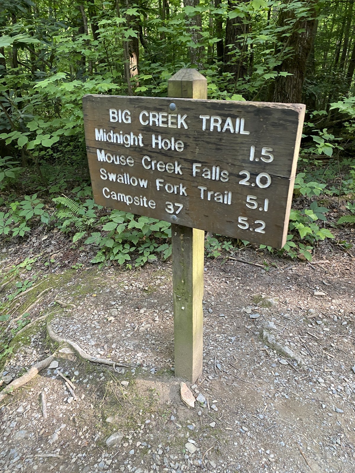
The trail is approximately 5 miles one-way, with a significant elevation gain of about 4,000 feet.

Is Baxter Creek Trail suitable for beginner hikers?

Due to its steep grades and rugged terrain, this trail is recommended for experienced hikers comfortable with strenuous climbs.

Are there water sources along the trail?

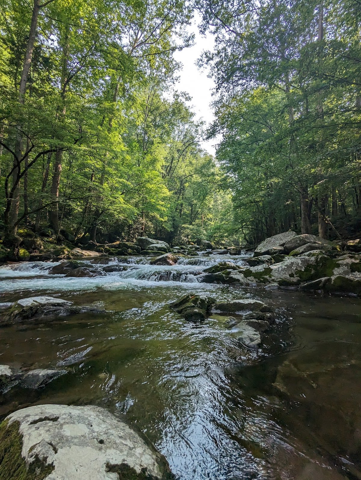
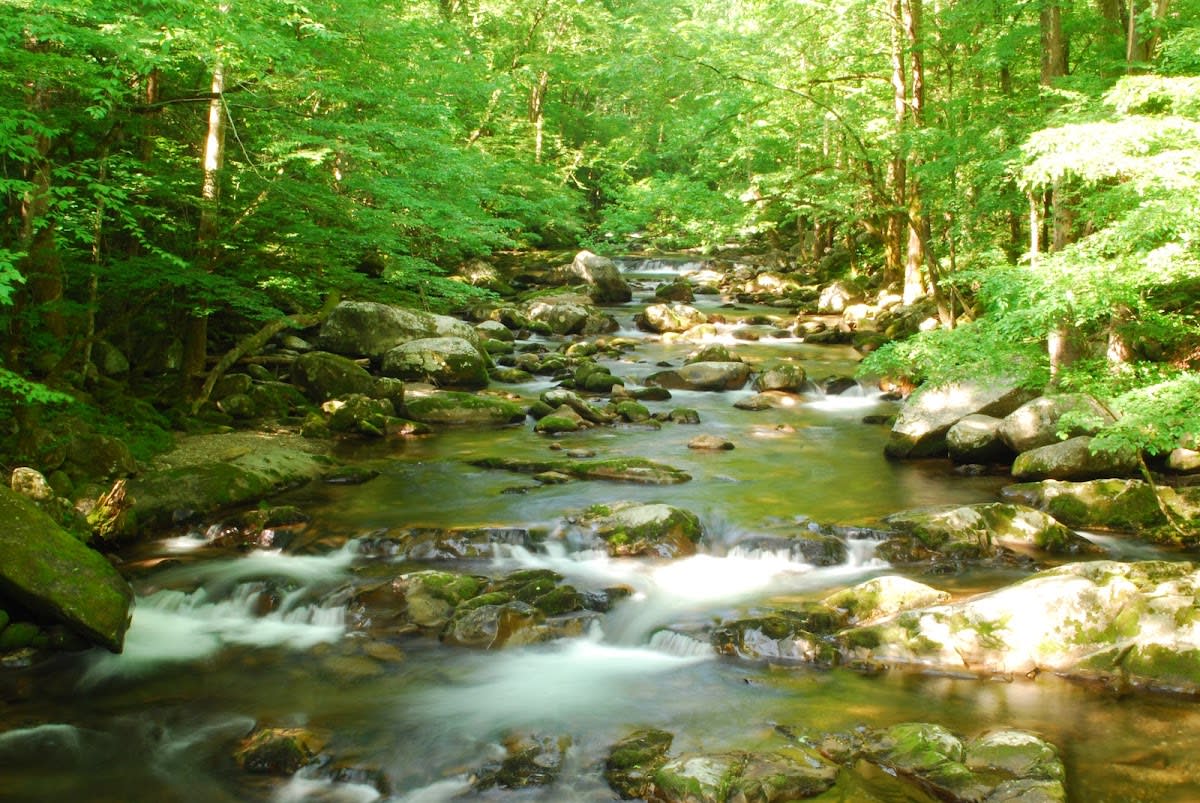
Baxter Creek runs alongside portions of the trail, providing natural water sources; however, always carry enough water and purify creek water before drinking.

Can I camp near Mount Sterling after hiking Baxter Creek Trail?

Backcountry camping is allowed in designated areas near Mount Sterling with a permit from the park service.

What wildlife might I see on Baxter Creek Trail?

Hikers may encounter white-tailed deer, black bears, various songbirds, and occasionally salamanders near the creek.

Take Home a Piece of Baxter Creek Trail

Branded LocaleTrips sticker set arriving soon. Use the trail cam Bigfoot sticker, the heritage benchmark, and the editorial portrait on your water bottle, laptop, or Instagram story.

Field Notes

Last reported Bigfoot sighting near Baxter Creek Trail: On August 14, 2024, a group of hikers reported spotting a large, shadowy figure near a bend in Baxter Creek. The figure appeared to be watching from the tree line before disappearing into the forest. While no photographic evidence was captured, the story quickly became a local trail legend.

More in Great Smoky Mountains NP

Things to do nearby
Pretty Hollow Gap Trail

Pretty Hollow Gap Trail

terrainModerate 5.6-mile trail in Great Smoky Mountains National Park.
star 4.773679901557656 - 598 reviews
Grapeyard Ridge Trail

Grapeyard Ridge Trail

terrainModerate 7.6-mile trail in Great Smoky Mountains National Park.
star 4.66356341397183 - 341 reviews
Palmer Creek Trail

Palmer Creek Trail

terrainModerate 3.3-mile trail in Great Smoky Mountains National Park.
star 4.546617845000742 - 201 reviews
Cane Creek Trail

Cane Creek Trail

terrainEasy 2.1-mile trail in Great Smoky Mountains National Park.
star 4.813594130834586 - 355 reviews
Cooper Road Trail

Cooper Road Trail

terrainModerate 2.5-mile trail in Great Smoky Mountains National Park.
star 4.672013446104068 - 477 reviews
Goldmine Loop Trail

Goldmine Loop Trail

terrainEasy 2-mile trail in Great Smoky Mountains National Park.
star 4.578588075426136 - 440 reviews
Browse Cabins Call