21 Places
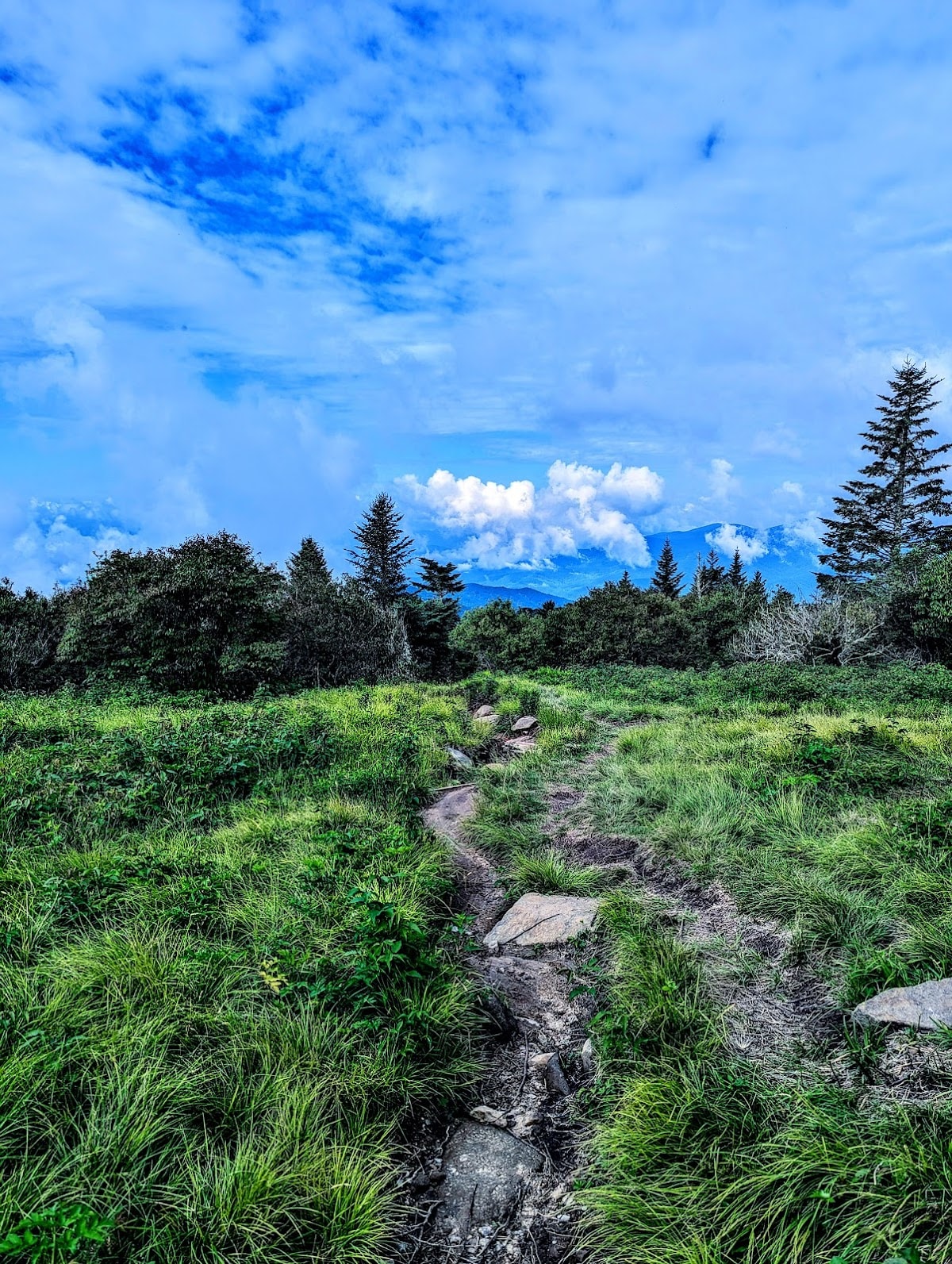
Hiking Trails
Explore a diverse collection of 21 hiking trails in the Smoky Mountains around Gatlinburg, Pigeon Forge, and Sevierville. From easy dog-friendly paths to challenging summit routes, there is a trail for every skill level.
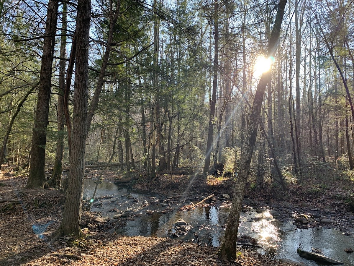
 Great Smoky Mountains NP
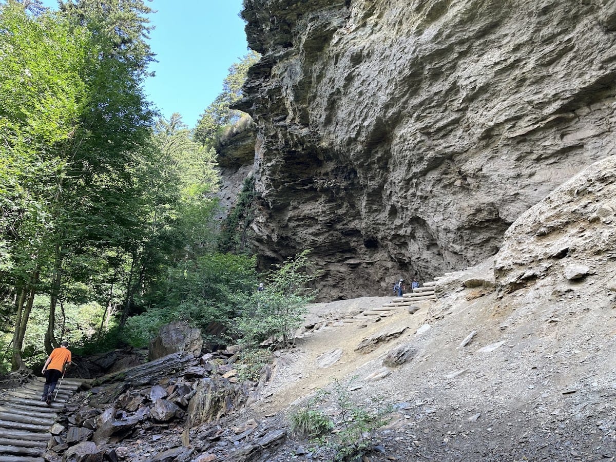
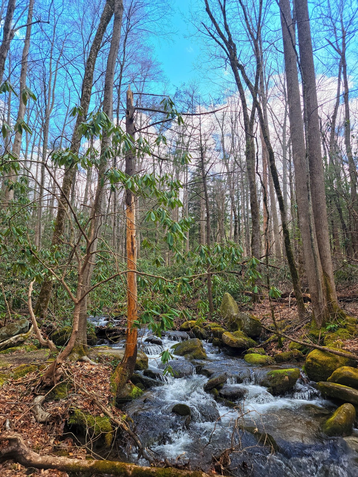
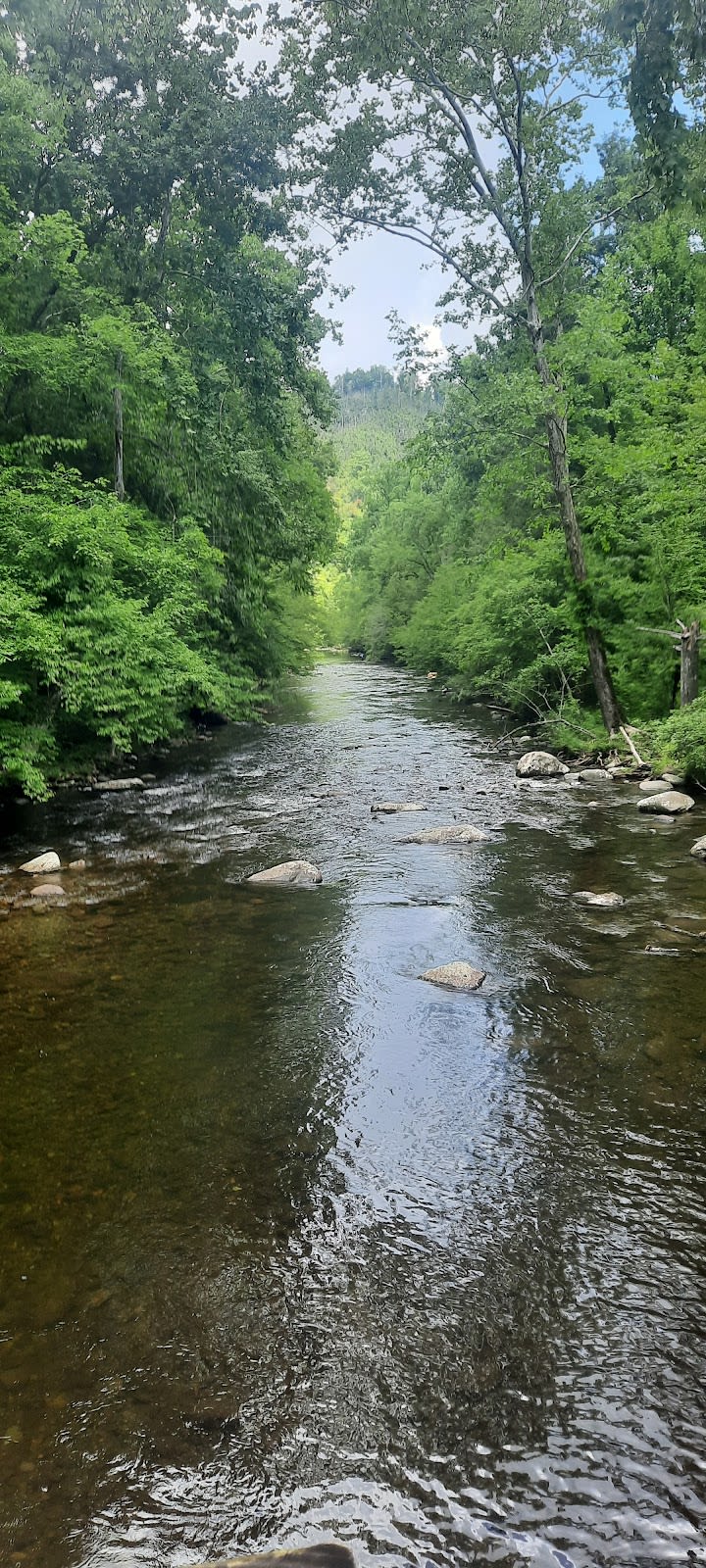
Alum Cave Trail
Scenic 5-mile GSMNP hike to Alum Cave
 Great Smoky Mountains NP
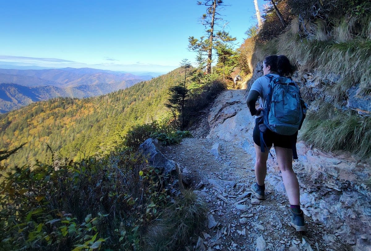
Mount LeConte via Alum Cave Trail
Tough 10.2-mile to highest peak
 Great Smoky Mountains NP
Chimney Tops Trail
Scenic rocky pinnacles with views
 National Park
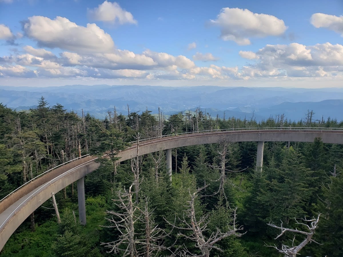
Kuwohi Trailhead
Access to Clingmans Dome viewpoint
 Gatlinburg
Gatlinburg Trail - ONLY Dog-Friendly Trail
Dog-friendly scenic 1.9-mile trail
 Pigeon Forge
Winterfest Wonders of Light Walking Trail
Stunning light trail during Winterfest
 Great Smoky Mountains NP
Andrews Bald Trail
Scenic 3.6-mile high-elevation hike
 Sevierville
Horseback Trail Ride
Guided horseback rides in scenic mountains
 Great Smoky Mountains NP
Gregory Bald Trail
Strenuous 11-mile grassy bald hike
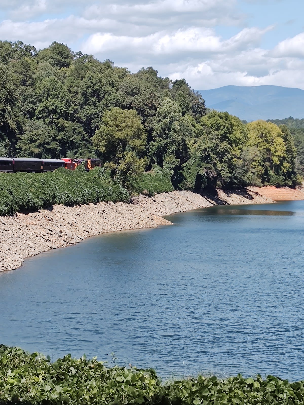
 Cherokee, NC
Oconaluftee River Trail
Paved 3-mile trail along scenic river
 Great Smoky Mountains NP
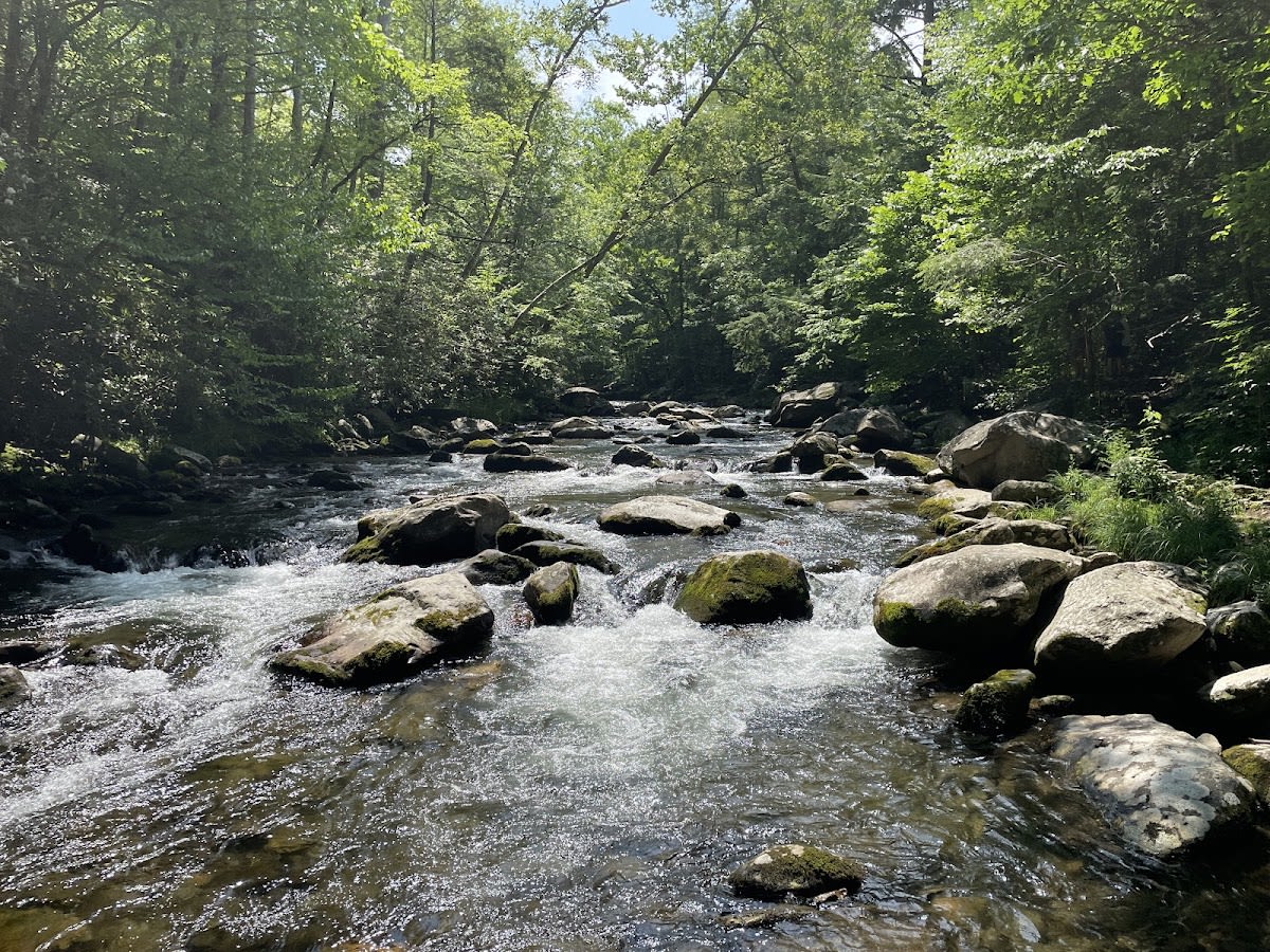
Little River Trail
Scenic 12.4-mile river trail
 Knoxville
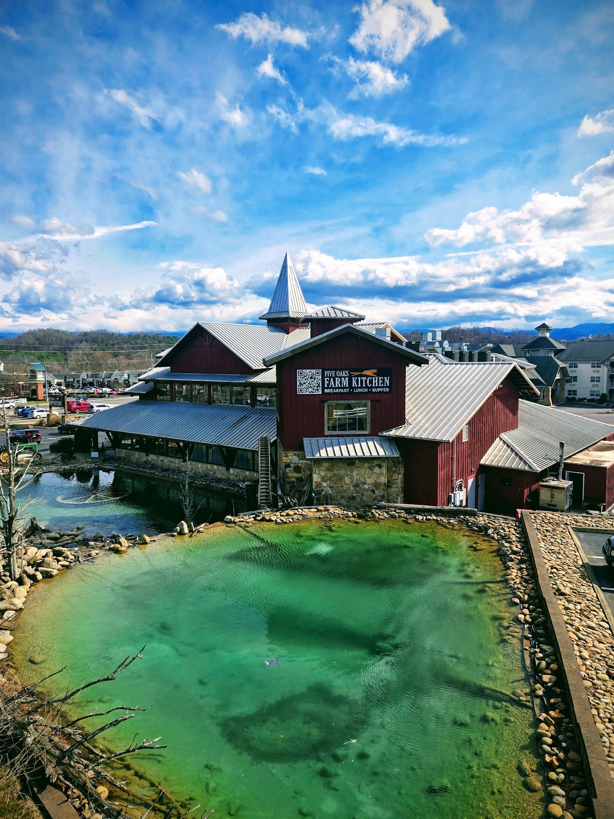
Ancient Lore Village
Fantasy realm with themed trails & dwellings
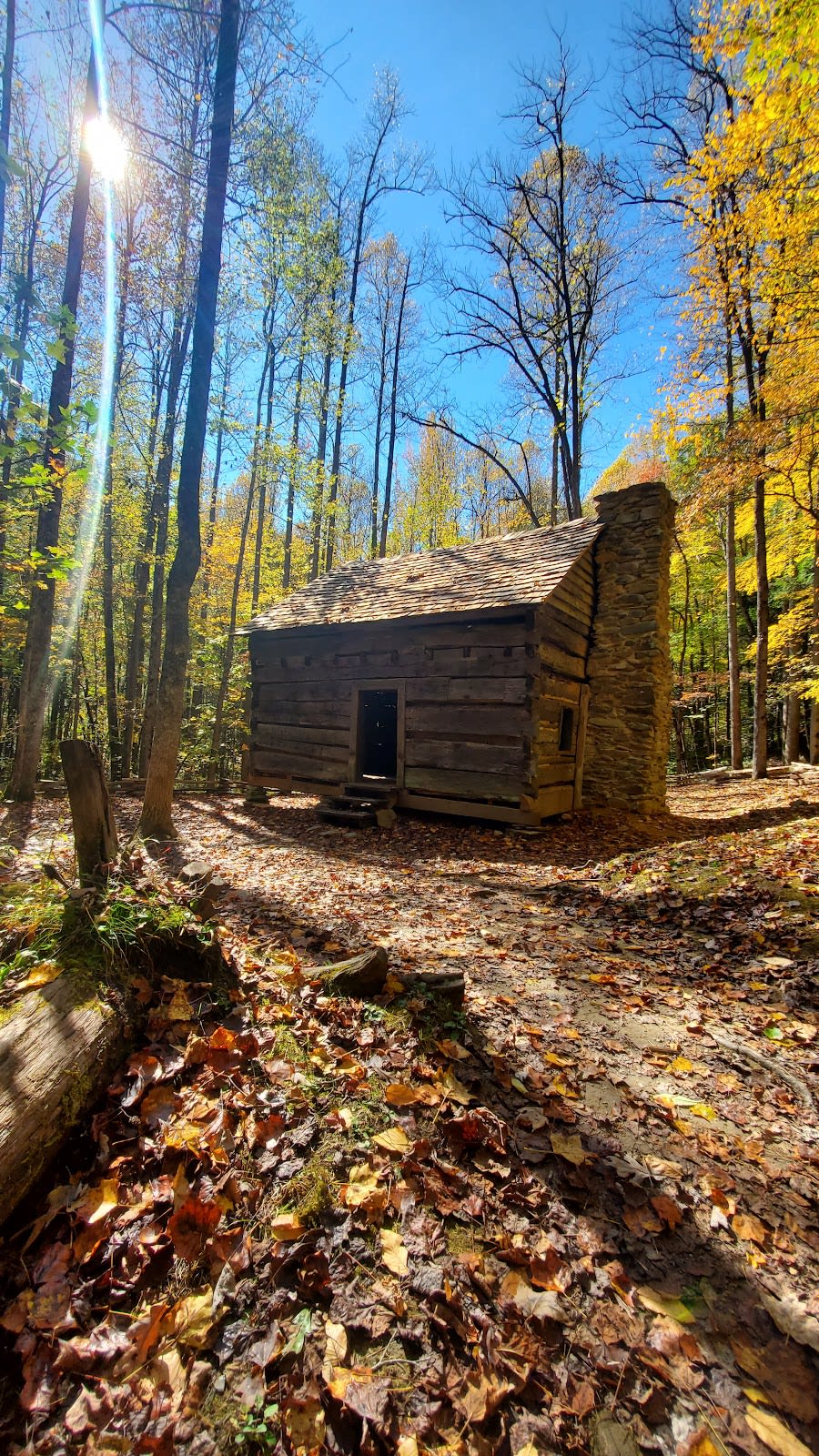
 Gatlinburg
Noah Bud Ogle Nature Trail
Historic homestead with easy trail
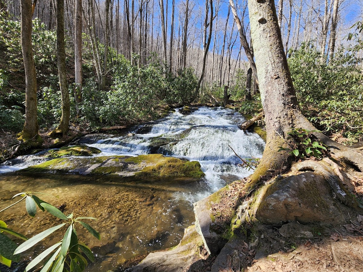
 Great Smoky Mountains NP
Porters Creek Trail
Old-growth forest with historic features
 Gatlinburg
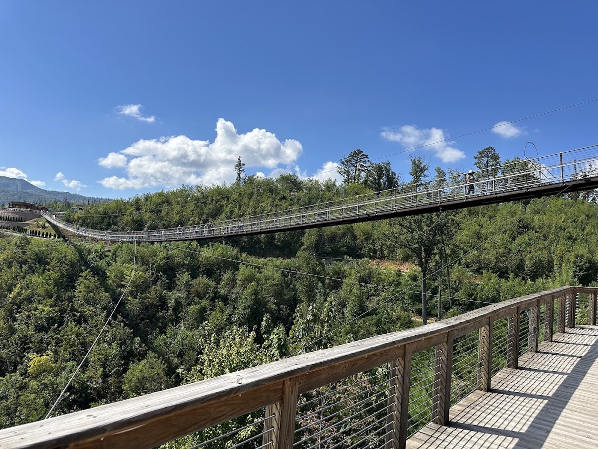
SkyTrail at Gatlinburg SkyLift Park
Scenic aerial course with views
 Gatlinburg
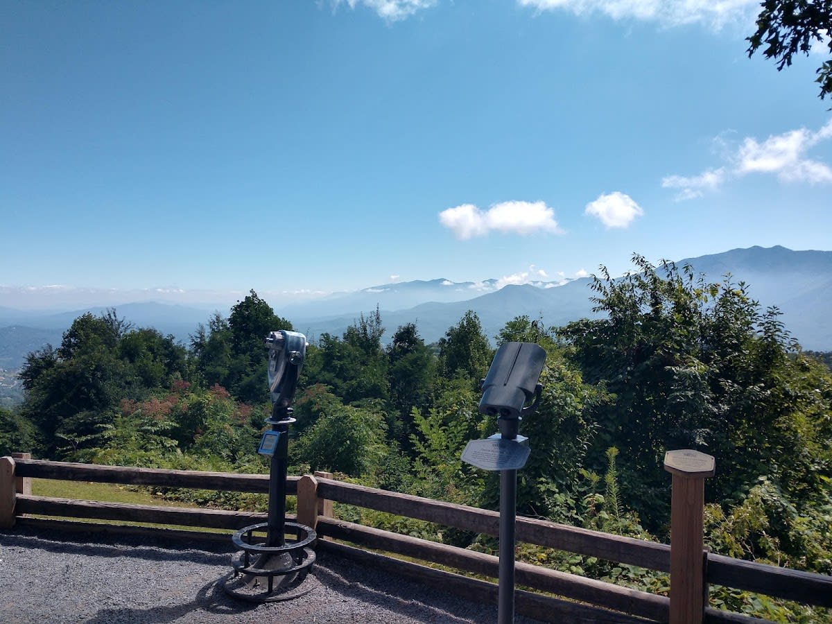
Mount Harrison
Panoramic mountain views
 National Park
Sugarland Valley Nature Trail
Easy walk through peaceful Sugarland
 North Carolina
The Fugitive Train Wreck Site
Historic scenic hiking spot
 Great Smoky Mountains NP
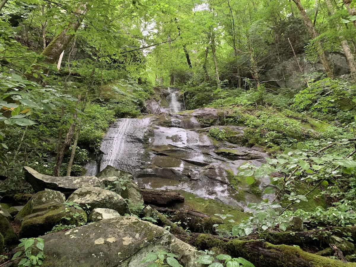
Chasteen Creek Cascade Trail
Easy 3.6-mile hike to waterfalls
 Great Smoky Mountains NP
Fighting Creek Nature Trail
Gentle 1-mile trail near visitor center
 Great Smoky Mountains NP
Metcalf Bottoms Trail
Historic 0.7-mile trail from picnic area
What to Know
Best Seasons
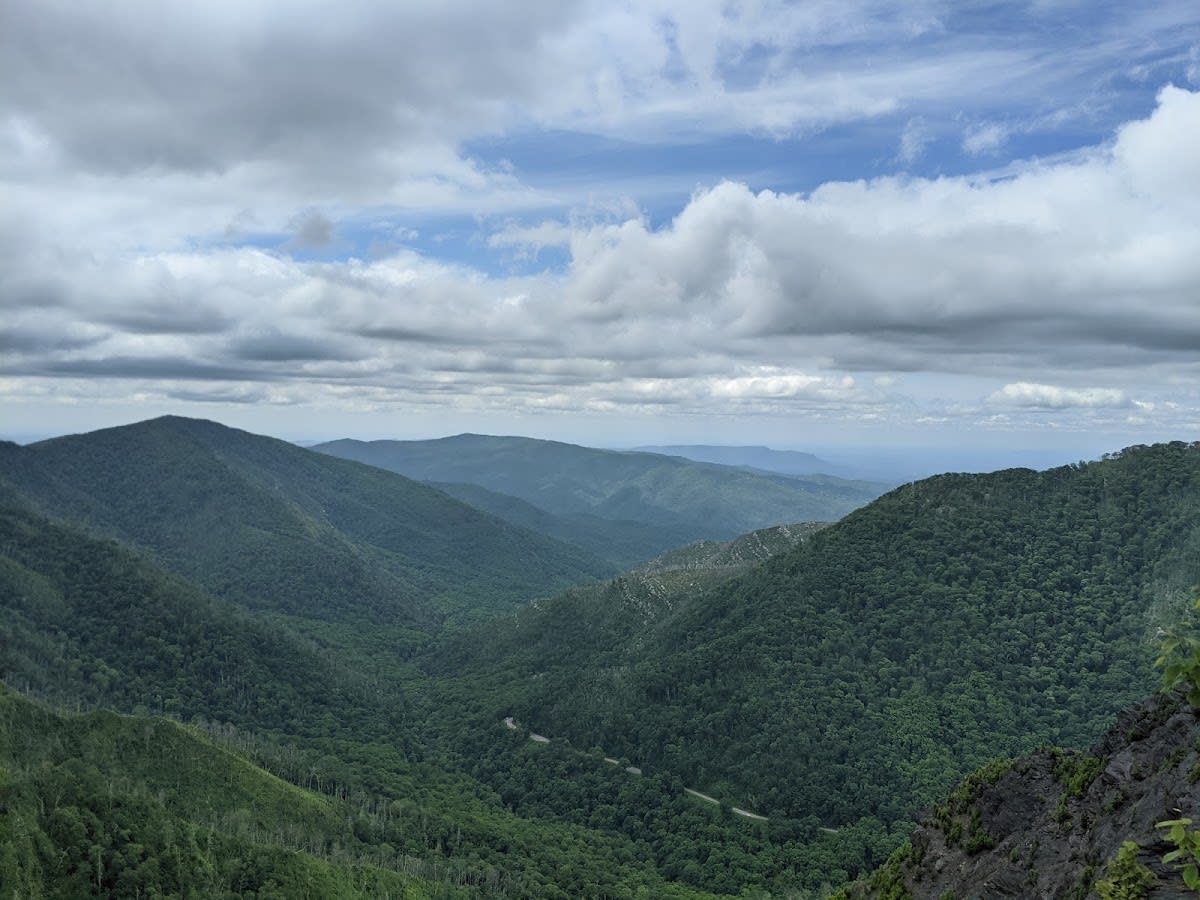
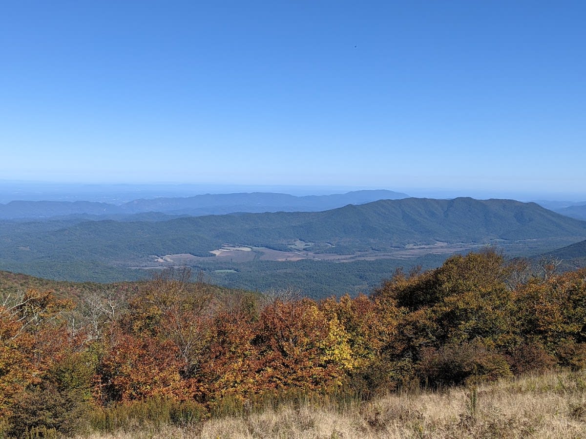
The trails are open year round, each season with its own reward. Spring brings wildflowers and full streams, summer offers cool shaded forest and high ridge breezes, fall delivers the color the Smokies are famous for, and winter opens long views through the bare trees. Higher elevations hold snow and ice well into spring.
What to Bring
Layers, since the temperature drops noticeably as you climb, plus broken in shoes with good tread, more water than you think you need, and a downloaded or paper map since cell service disappears in the park. Pack a rain shell, as mountain weather turns quickly.
Picking the Right Hiking for Your Group
For Families with Young Kids
Choose shorter, accessible trails such as the Gatlinburg Trail Only Dog Friendly Trail for an easy walk along the river. The Winterfest Wonders Of Light Walking trail offers a festive experience during the winter months.
For Experienced Hikers
Take on challenging routes like Mount Leconte Via Alum Cave or Chimney Tops Trail, which provide rewarding summit views and varied terrain. The Mount Cammerer Trail offers a longer hike with historic fire tower access.
For Dog Owners
The Gatlinburg Trail is the primary dog-friendly trail in the area, allowing pets to join in on a scenic and moderate hike. Always keep your dog on a leash and bring water for both of you.
For Scenic Nature Enthusiasts
Explore Alum Cave Trail and Charlies Bunion Trail to experience unique geological features and panoramic vistas. Kuwohi Trailhead also offers beautiful forest landscapes and opportunities to spot local wildlife.
For Seasonal Visitors
Winter visitors can enjoy the Winterfest Wonders Of Light Walking trail, while spring and summer bring vibrant wildflowers and lush greenery along most hikes. Always check trail conditions before heading out.
Tips and Getting There
Insider Tips
- Start early. Parking at the popular trailheads fills by midmorning in summer and on fall weekends, and an early start beats both the crowds and the afternoon storms.
- Match the trail to your group honestly. Elevation gain matters more than distance in the Smokies, so check the climb before you commit, especially with kids or anyone new to hiking.
- Carry water and a snack even on short hikes, tell someone your plan, and turn back if weather moves in. Conditions at the summit are often very different from the trailhead.
Getting There and Parking
Most trailheads sit inside Great Smoky Mountains National Park, reached through the Gatlinburg entrance or from Townsend on the Cades Cove side. There is no entrance fee, but a parking tag is required for any stop over fifteen minutes. Arrive early for the popular lots.
Frequently Asked Questions
Are dogs allowed on all hiking trails in the Smoky Mountains?
What is the best time of year to hike in the Gatlinburg area?
How long are the top hiking trails in this region?
Are there guided hiking tours available in the area?
Is parking available at popular trailheads like Alum Cave and Kuwohi?
Can you camp near these hiking trails?
Vantage Stays · Smoky Mountain Guide
Hiking Trails
Discover 21 hiking trails in the Smoky Mountains near Gatlinburg, Pigeon Forge, and Sevierville. Trails range from dog-friendly paths to challenging mountain routes.
Scan for live
hours & details
What to Know
Best Seasons
The trails are open year round, each season with its own reward. Spring brings wildflowers and full streams, summer offers cool shaded forest and high ridge breezes, fall delivers the color the Smokies are famous for, and winter opens long views through the bare trees. Higher elevations hold snow and ice well into spring.
What to Bring
Layers, since the temperature drops noticeably as you climb, plus broken in shoes with good tread, more water than you think you need, and a downloaded or paper map since cell service disappears in the park. Pack a rain shell, as mountain weather turns quickly.
The Checklist
| Place | Rating | Hours | Phone | Address | |
|---|---|---|---|---|---|
| Cherokee, NC | |||||
| Oconaluftee River Trail | 4.5 ★ | Sunrise to Sunset | Oconaluftee Visitor Center, Cherokee, NC | ||
| Gatlinburg | |||||
| Gatlinburg Trail - ONLY Dog-Friendly Trail | 4.7 ★ | Sunrise to Sunset | 916 River Rd, Gatlinburg, TN 37738 | ||
| Noah Bud Ogle Nature Trail | 4.6 ★ | Sunrise to Sunset | Cherokee Orchard Road, Gatlinburg, TN | ||
| SkyTrail at Gatlinburg SkyLift Park | 4.7 ★ | 9 AM - 9 PM | 765 Parkway, Gatlinburg, TN 37738 | ||
| Mount Harrison | 4.8 ★ | 10 AM - 7 PM | Ober Mountain, Gatlinburg, TN 37738 | ||
| Great Smoky Mountains NP | |||||
| Alum Cave Trail | 4.8 ★ | Sunrise to Sunset | Newfound Gap Rd, Great Smoky Mountains NP | ||
| Mount LeConte via Alum Cave Trail | 4.9 ★ | Sunrise to Sunset | Alum Cave Trailhead, Great Smoky Mountains NP | ||
| Chimney Tops Trail | 4.6 ★ | Sunrise to Sunset | Newfound Gap Rd, Great Smoky Mountains NP | ||
| Andrews Bald Trail | 4.7 ★ | Sunrise to Sunset | Forney Ridge Trail from Kuwohi, Great Smoky Mountains NP | ||
| Gregory Bald Trail | 4.8 ★ | Sunrise to Sunset | Cades Cove, Great Smoky Mountains NP | ||
| Little River Trail | 4.6 ★ | Sunrise to Sunset | Elkmont, Great Smoky Mountains NP | ||
| Porters Creek Trail | 4.7 ★ | Sunrise to Sunset | Greenbrier Area, Great Smoky Mountains NP | ||
| Chasteen Creek Cascade Trail | 4.5 ★ | Sunrise to Sunset | Smokemont Area, Great Smoky Mountains NP | ||
| Fighting Creek Nature Trail | 4.4 ★ | Sunrise to Sunset | Sugarlands Visitor Center, Great Smoky Mountains NP | ||
| Metcalf Bottoms Trail | 4.5 ★ | Sunrise to Sunset | Metcalf Bottoms, Great Smoky Mountains NP | ||
| Knoxville | |||||
| Ancient Lore Village | 4.9 ★ | See Website | (865) 444-5000 | 7107 Sevierville Pike, Knoxville, TN 37920 | |
| National Park | |||||
| Kuwohi Trailhead | 4.8 ★ | Open 24 hours | Clingmans Dome Rd, Great Smoky Mountains | ||
| Sugarland Valley Nature Trail | 4.6 ★ | Sunrise to Sunset | Near Sugarlands Visitor Center, GSMNP | ||
| North Carolina | |||||
| The Fugitive Train Wreck Site | 4.6 ★ | Visible anytime (roadside) | Near Dillsboro, NC (visible from GSMR) | ||
| Pigeon Forge | |||||
| Winterfest Wonders of Light Walking Trail | 4.8 ★ | Evening Hours, Nov - Jan | 2936 Teaster Lane to The Island, Pigeon Forge, TN 37863 | ||
| Sevierville | |||||
| Horseback Trail Ride | 4.5 ★ | Daily: Weather permitting | (865) 366-2687 | 1628 Parkway, Sevierville, TN 37862 | |
Picking the Right One for Your Group
For Families with Young Kids
Choose shorter, accessible trails such as the Gatlinburg Trail Only Dog Friendly Trail for an easy walk along the river. The Winterfest Wonders Of Light Walking trail offers a festive experience during the winter months.
For Experienced Hikers
Take on challenging routes like Mount Leconte Via Alum Cave or Chimney Tops Trail, which provide rewarding summit views and varied terrain. The Mount Cammerer Trail offers a longer hike with historic fire tower access.
For Dog Owners
The Gatlinburg Trail is the primary dog-friendly trail in the area, allowing pets to join in on a scenic and moderate hike. Always keep your dog on a leash and bring water for both of you.
For Scenic Nature Enthusiasts
Explore Alum Cave Trail and Charlies Bunion Trail to experience unique geological features and panoramic vistas. Kuwohi Trailhead also offers beautiful forest landscapes and opportunities to spot local wildlife.
For Seasonal Visitors
Winter visitors can enjoy the Winterfest Wonders Of Light Walking trail, while spring and summer bring vibrant wildflowers and lush greenery along most hikes. Always check trail conditions before heading out.
Insider Tips
- Start early. Parking at the popular trailheads fills by midmorning in summer and on fall weekends, and an early start beats both the crowds and the afternoon storms.
- Match the trail to your group honestly. Elevation gain matters more than distance in the Smokies, so check the climb before you commit, especially with kids or anyone new to hiking.
- Carry water and a snack even on short hikes, tell someone your plan, and turn back if weather moves in. Conditions at the summit are often very different from the trailhead.