Andrews Bald Trail
terrainOutdoors - Hiking Trails

Andrews Bald Trail: A Serene Meadow Among the Smokies' High Peaks

starstarstarstar½ 4.7 (2,134 reviews)
location_onGreat Smoky Mountains NP scheduleSunrise to Sunset timer2-3 hours
Date Night Hidden Gems Nature Lovers Scenic Views

About

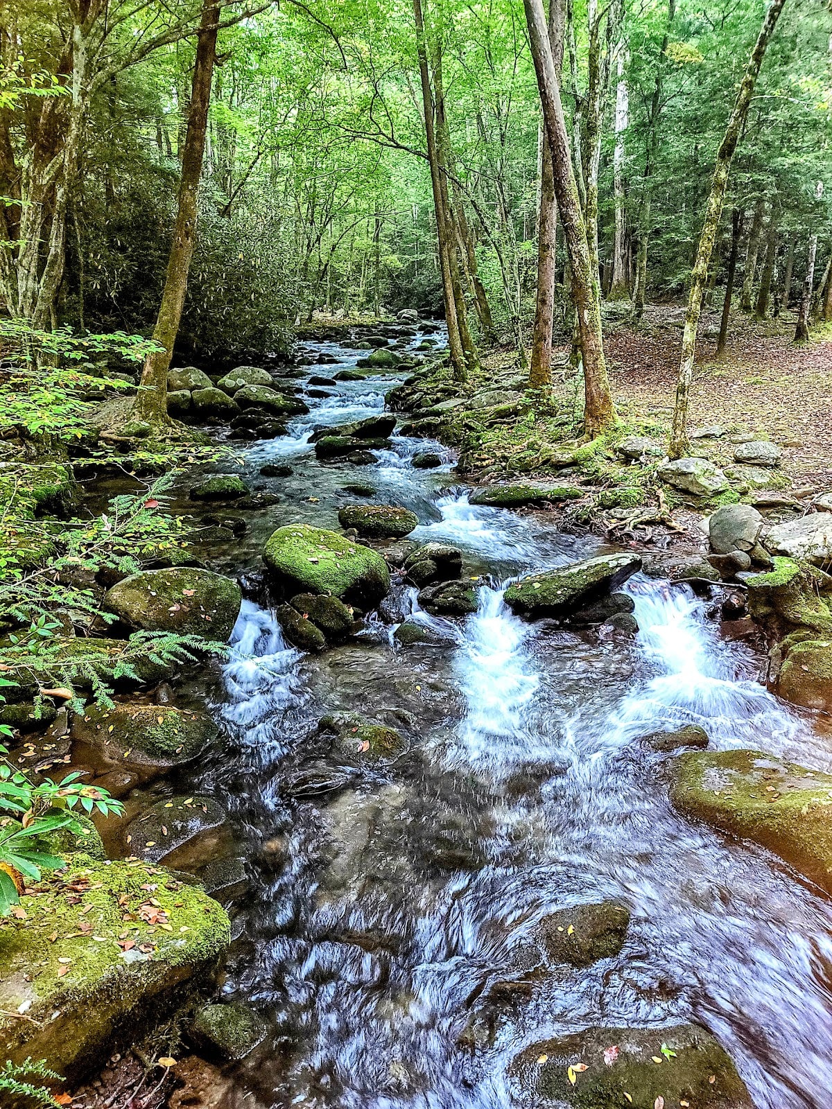
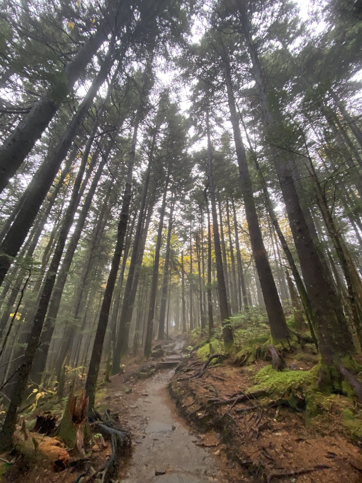
Andrews Bald Trail is a moderately challenging 3.6-mile roundtrip hike located in the Great Smoky Mountains National Park, Tennessee. The trail descends through dense high-elevation spruce-fir forest before opening onto Andrews Bald, a lush grassy meadow known for its vibrant wildflowers. This grassy bald offers wide panoramic views of the surrounding mountain ranges. The trailhead begins near the Kuwohi trail and involves a steady climb on the return trip.

Andrews Bald is one of several grassy balds found in the Smokies, a unique ecological feature whose origins remain partially debated,some believe they were maintained by early settlers or indigenous peoples through grazing, while others suggest natural causes such as soil and climate conditions. The bald supports a variety of native wildflowers, including the notable flame azaleas that bloom in late spring and summer. The area’s geology is characterized by ancient Precambrian rock formations typical of the region’s rugged terrain.

Visitors to Andrews Bald Trail often remark on the peaceful contrast between the shaded forest and the open meadow. Summer hikers enjoy the colorful azaleas and the opportunity to spot wildlife such as deer or various bird species. The climb back to the Kuwohi trailhead can be strenuous, rewarding hikers with stunning views and a sense of accomplishment. The trail is less crowded than some nearby routes, offering a quieter experience within the park.

Did You Know

  • Andrews Bald is the highest grassy bald in the Great Smoky Mountains National Park (NPS).
  • The flame azaleas that bloom here are native to the Southern Appalachians and peak in late June (USDA Forest Service).
  • Grassy balds like Andrews Bald cover less than 1% of the park's acreage but hold unique ecosystems (Great Smoky Mountains Institute).
  • The Kuwohi trailhead, where Andrews Bald Trail begins, is named for a Cherokee word meaning 'high place' (Eastern Band of Cherokee Indians).
  • The spruce-fir forests along the trail are home to the endangered spruce-fir moss spider (National Park Service).
GSMNP Hiking Moderate Hike Scenic Views Wildflowers
location_on
Address
Forney Ridge Trail from Kuwohi, Great Smoky Mountains NP
schedule
Hours
Sunrise to Sunset
timer
Typical Visit
2-3 hours

Frequently Asked Questions

How long is the Andrews Bald Trail hike?

The roundtrip distance is approximately 3.6 miles, with a descent to the bald and a return climb to the Kuwohi trailhead.

Is the Andrews Bald Trail suitable for beginners?

The trail is moderate in difficulty. While the descent is gentle, the return involves a steady climb that may challenge some beginners.

Are dogs allowed on Andrews Bald Trail?

Dogs are not permitted on trails within Great Smoky Mountains National Park, including Andrews Bald Trail.

What wildlife might I see on the trail?

Visitors often spot white-tailed deer, various songbirds, and occasionally black bears, so remain alert and maintain a safe distance.

Where is the trailhead for Andrews Bald Trail located?

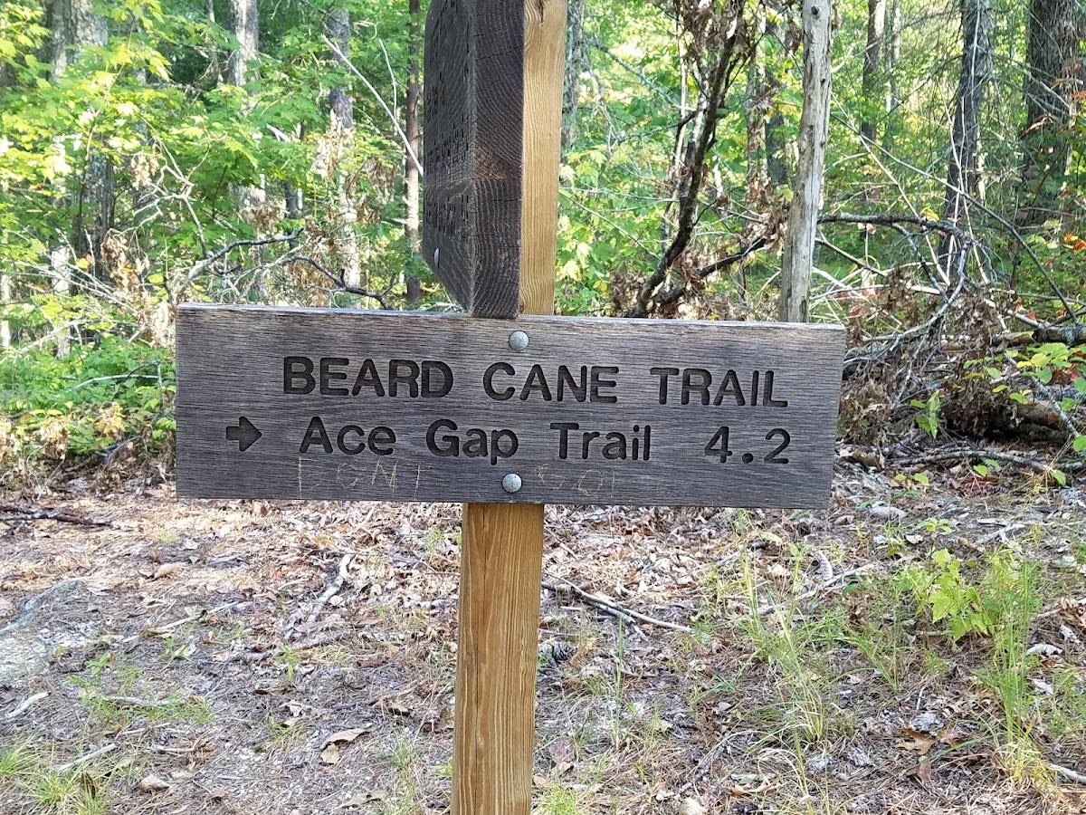
The trailhead is accessible from the Kuwohi trail near Kuwohi parking area in Great Smoky Mountains National Park, Tennessee.

Take Home a Piece of Andrews Bald Trail

Branded LocaleTrips sticker set arriving soon. Use the trail cam Bigfoot sticker, the heritage benchmark, and the editorial portrait on your water bottle, laptop, or Instagram story.

Field Notes

Last reported Bigfoot sighting near Andrews Bald Trail: On October 14, 2024, a group of hikers reported spotting a large, hairy figure near the edge of Andrews Bald just before dusk. The figure reportedly disappeared into the forest without a sound, leaving behind only large footprints. While no photos were taken, the sighting has added a bit of local legend to the area.

More in Great Smoky Mountains NP

Things to do nearby
Beard Cane Trail

Beard Cane Trail

terrainModerate 4.2-mile trail in Great Smoky Mountains National Park.
star 4.6043445309181426 - 224 reviews
Twentymile Trail

Twentymile Trail

terrainModerate 5.3-mile trail in Great Smoky Mountains National Park.
star 4.693237184794727 - 208 reviews
Martins Gap Trail

Martins Gap Trail

terrainModerate 3-mile trail in Great Smoky Mountains National Park.
star 4.897909735026446 - 105 reviews
Springhouse Branch Trail

Springhouse Branch Trail

terrainModerate 7.1-mile trail in Great Smoky Mountains National Park.
star 4.885530285602728 - 436 reviews
Enloe Creek Trail

Enloe Creek Trail

terrainModerate 3.6-mile trail in Great Smoky Mountains National Park.
star 4.715306557081254 - 116 reviews
West Prong Trail

West Prong Trail

terrainModerate 2.7-mile trail in Great Smoky Mountains National Park.
star 4.856791243495768 - 439 reviews
Browse Cabins Call