Metcalf Bottoms Trail
terrainOutdoors - Hiking Trails

Metcalf Bottoms Trail: A Gentle Walk to Smoky Mountain History

starstarstarstar½ 4.5 (876 reviews)
location_onGreat Smoky Mountains NP scheduleSunrise to Sunset timer30-45 min
Family Fun Hidden Gems Nature Lovers

About

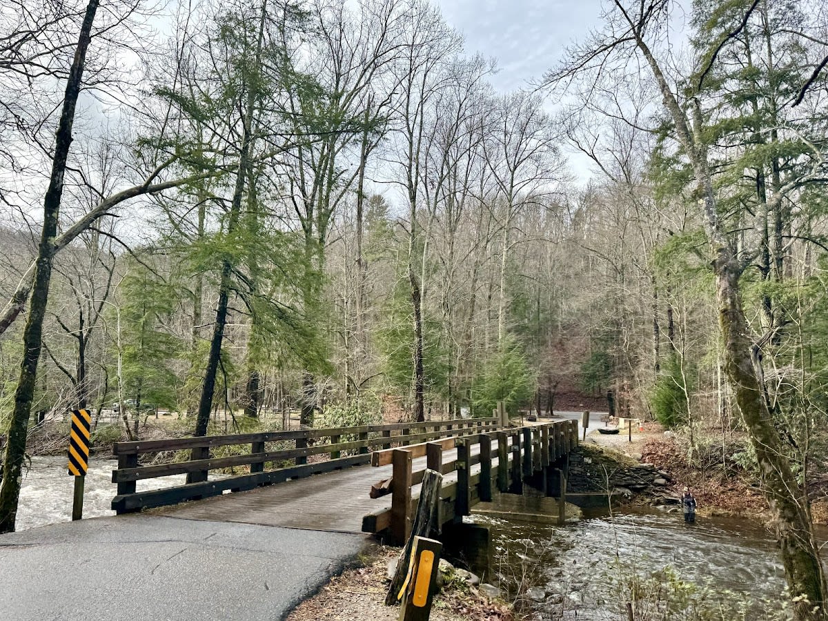
The Metcalf Bottoms Trail is a short, easy hike located in Great Smoky Mountains National Park near Pigeon Forge, Tennessee. Spanning just 0.7 miles, the trail connects the Metcalf Bottoms Picnic Area to the Little Greenbrier School, a preserved one-room schoolhouse from the 1880s. This trail is suitable for hikers of all ages and fitness levels, making it an ideal family-friendly outing. Along the way, visitors enjoy peaceful forest scenery and a glimpse into the region’s rural past.

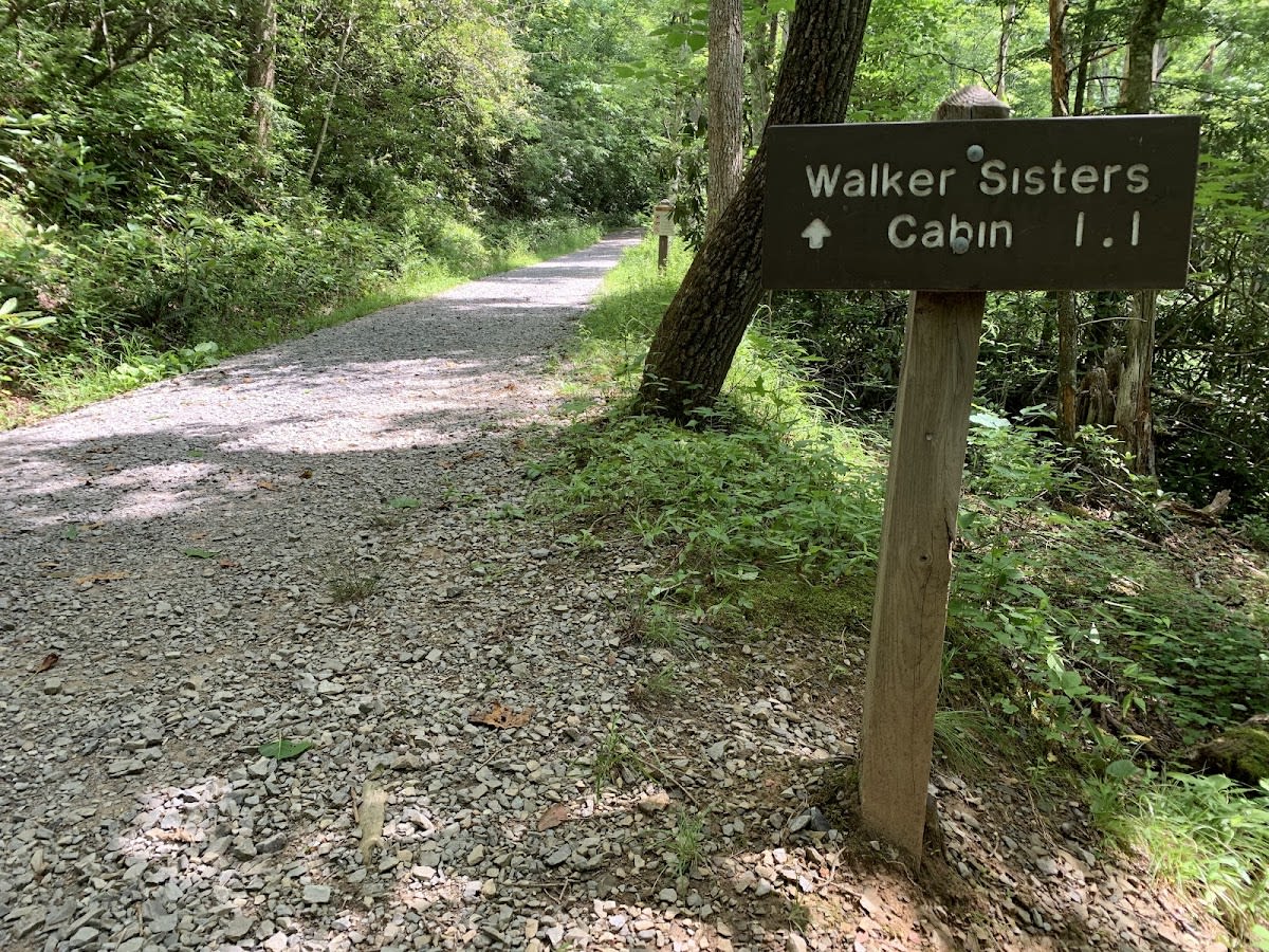
The Little Greenbrier School served the local mountain community for decades, offering education in a simple one-room setting. The schoolhouse has been carefully restored and is open for visitors to explore, providing insight into 19th-century Appalachian life. The area around Metcalf Bottoms was once a small farming community, and the trail passes through terrain shaped by ancient geologic forces typical of the Smoky Mountains. Today, it stands as a quiet reminder of the region’s cultural and natural heritage.

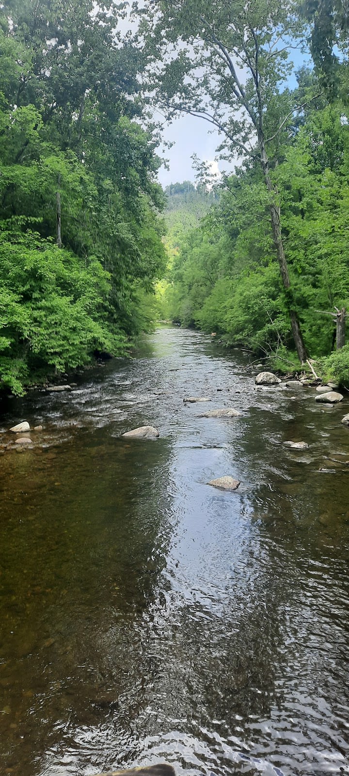
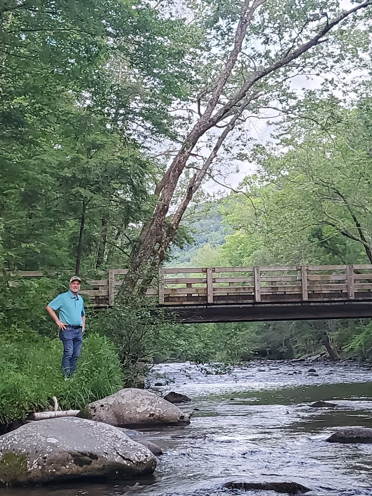
Visitors often start their hike at the shaded picnic area, which is a perfect spot for a pre- or post-walk meal. The trail itself is well-maintained and mostly flat, winding through hardwood forests filled with native plants and wildlife. Upon reaching the Little Greenbrier School, guests can step inside to see original furnishings and interpretive displays. The easy access and educational value make this trail popular among families and history enthusiasts alike.

Did You Know

  • The Little Greenbrier School operated from 1882 until 1936 (National Park Service).
  • Metcalf Bottoms is named after a local family that settled in the area in the 1800s (Great Smoky Mountains Heritage Center).
  • The forest along the trail features old-growth trees, some over 200 years old (US Forest Service).
  • The schoolhouse was moved to its current location in the 1930s to preserve it (National Park Service).
  • Metcalf Bottoms Picnic Area was once a community gathering spot for mountain residents (Appalachian History Museum).
Easy Hike Family-Friendly GSMNP Hiking Historic
location_on
Address
Metcalf Bottoms, Great Smoky Mountains NP
schedule
Hours
Sunrise to Sunset
timer
Typical Visit
30-45 min

Frequently Asked Questions

How long is the Metcalf Bottoms Trail?

The trail is 0.7 miles one way, making it a short and easy hike.

Is the trail suitable for children and beginners?

Yes, the trail is mostly flat with minimal elevation change, perfect for families and beginners.

Can I visit the Little Greenbrier School?

Yes, the schoolhouse is open to visitors and features original furnishings and displays.

Are there picnic facilities at Metcalf Bottoms?

Yes, the Metcalf Bottoms Picnic Area has tables and grills, making it a great spot to relax before or after your hike.

Is parking available at the trailhead?

There is a designated parking area at Metcalf Bottoms Picnic Area with ample space for visitors.

Take Home a Piece of Metcalf Bottoms Trail

Branded LocaleTrips sticker set arriving soon. Use the trail cam Bigfoot sticker, the heritage benchmark, and the editorial portrait on your water bottle, laptop, or Instagram story.

Field Notes

Last reported Bigfoot sighting near Metcalf Bottoms Trail: On March 14, 2025, a hiker reported seeing a large, shadowy figure near the dense woods beside the trail. The figure disappeared quickly, leaving only broken branches behind. Whether it was Bigfoot or a tall bear remains a mystery among locals.

More in Great Smoky Mountains NP

Things to do nearby
Little River (Fishing)

Little River (Fishing)

local_activityPopular trout stream in GSMNP. Rainbow and brown trout. Free with park entry.
star 4.7 - 300 reviews
Laurel Falls Trail

Laurel Falls Trail

terrainThe park's most popular waterfall trail. 2.6-mile paved roundtrip to an 80-
star 4.7 - 5,432 reviews
Meigs Creek Trail

Meigs Creek Trail

terrainModerate 7-mile roundtrip with multiple stream crossings.
star 4.3 - 432 reviews
Jonas Creek Trail

Jonas Creek Trail

terrainModerate 4.1-mile trail in Great Smoky Mountains National Park.
star 4.782874360946272 - 105 reviews
Middle Prong Trail

Middle Prong Trail

terrainEasy 4.1-mile one-way trail along a beautiful stream with old-growth trees.
star 4.5 - 765 reviews
Little River Trail

Little River Trail

terrainEasy 12.4-mile one-way trail following a beautiful mountain stream.
star 4.6 - 1,432 reviews
Browse Cabins Call