Middle Prong Trail
terrainOutdoors - Hiking Trails

Middle Prong Trail: A Gentle Stroll Along an Old Railroad Bed

starstarstarstar½ 4.5 (765 reviews)
location_onGreat Smoky Mountains NP scheduleSunrise to Sunset timer2-4 hours
Hidden Gems Nature Lovers Scenic Views

About

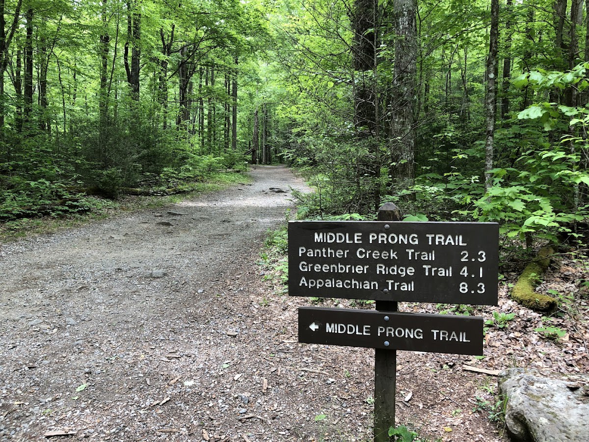
Middle Prong Trail is a peaceful 4.1-mile hike located in the Great Smoky Mountains National Park near Pigeon Forge, Tennessee. The trail follows a gently graded old railroad bed alongside a clear, bubbling stream known as Middle Prong. Hikers will enjoy wide paths shaded by a mix of hardwoods and some impressive old-growth trees. This terrain offers a relaxing experience suitable for most skill levels and provides excellent opportunities to see wildflowers in spring and vibrant fall foliage.

The trail traces the route of a former railroad used in the early 20th century to support logging operations in this section of the Smokies. Over time, the forest has reclaimed much of the area, allowing old-growth trees to thrive once again. Geologically, the Middle Prong stream has helped carve the valley, creating a serene landscape of gentle slopes and rich biodiversity. The trail also lies within traditional Cherokee lands, adding a layer of cultural significance to the experience.

Visitors to Middle Prong Trail can expect a quiet walk with the soothing sounds of flowing water and birdsong. The well-maintained path is wide and easy to navigate, making it accessible for families and casual hikers. Along the way, seasonal wildflowers and the changing colors of the forest create an ever-changing palette. This trail is a good choice for those looking to escape crowds while still enjoying classic Smoky Mountains scenery.

Did You Know

  • Middle Prong Trail follows the bed of the former Middle Prong Lumber Company railroad (Great Smoky Mountains NP archives).
  • Several old-growth trees along the trail are estimated to be over 200 years old (Tennessee Forestry Service).
  • The trail is part of a larger network connecting to Kuwohi, the highest point in the park (National Park Service).
  • Wildflowers such as trillium, violets, and foamflower bloom in abundance during springtime (Great Smoky Mountains Wildflower Association).
  • The name Middle Prong refers to the stream’s position as a middle branch of the Little River watershed (Geological Survey of Tennessee).
Easy Hike GSMNP Hiking Old Growth Scenic Wildflowers
location_on
Address
Tremont, Great Smoky Mountains NP
schedule
Hours
Sunrise to Sunset
timer
Typical Visit
2-4 hours

Frequently Asked Questions

How long is the Middle Prong Trail?

The trail is approximately 4.1 miles round trip, making it a moderate length for most hikers.

Is Middle Prong Trail suitable for beginners?

Yes, the trail is easy with a wide, well-graded path and minimal elevation change, ideal for beginners and families.

Are dogs allowed on the Middle Prong Trail?

Pets are not allowed on trails within Great Smoky Mountains National Park to protect wildlife and habitat.

Where is the closest town to the Middle Prong Trail trailhead?

Pigeon Forge, Tennessee, is the nearest town and offers lodging, dining, and other amenities.

Are there any waterfalls along the Middle Prong Trail?

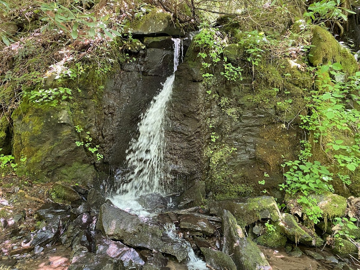
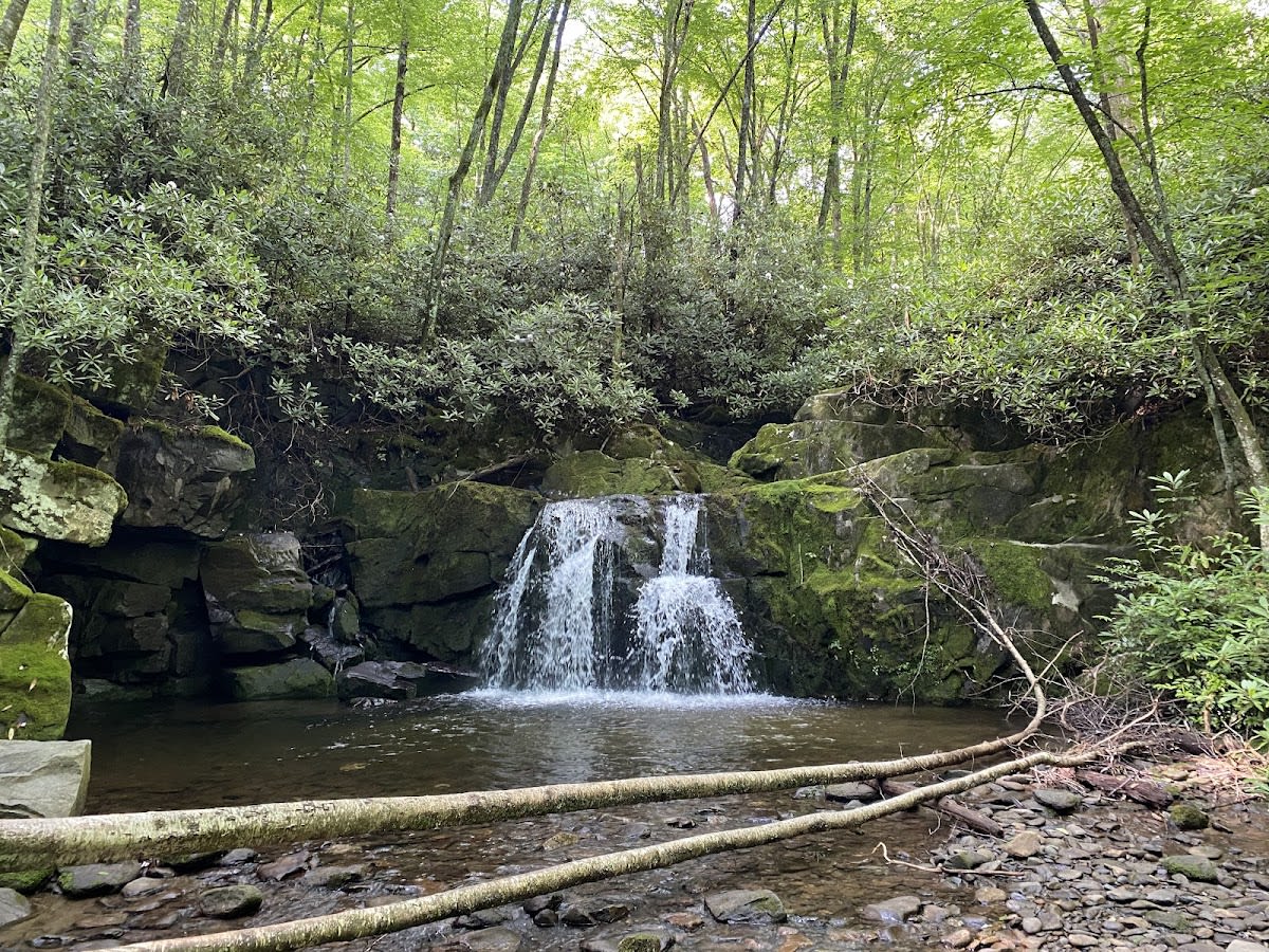
The trail follows a scenic stream but does not pass any notable waterfalls.

Take Home a Piece of Middle Prong Trail

Branded LocaleTrips sticker set arriving soon. Use the trail cam Bigfoot sticker, the heritage benchmark, and the editorial portrait on your water bottle, laptop, or Instagram story.

Field Notes

Last reported Bigfoot sighting near Middle Prong Trail: On March 14, 2025, a hiker reported spotting a large, shadowy figure near the stream crossing on Middle Prong Trail. The figure was described as tall and covered in dark hair but disappeared quickly into the forest. While no photographic evidence was captured, the story is now part of local Smoky Mountains lore.

More in Great Smoky Mountains NP

Things to do nearby
Spruce Flats Falls Trail

Spruce Flats Falls Trail

terrainModerate 2-mile roundtrip to a waterfall with a swimming hole.
star 4.7 - 1,234 reviews
Cold Spring Gap Trail

Cold Spring Gap Trail

terrainModerate 3.5-mile trail in Great Smoky Mountains National Park.
star 4.614409298889206 - 372 reviews
Schoolhouse Gap Trail

Schoolhouse Gap Trail

terrainEasy 4.4-mile roundtrip on a wide, gentle trail.
star 4.3 - 543 reviews
Kanati Fork Trail

Kanati Fork Trail

terrainModerate 2.9-mile trail in Great Smoky Mountains National Park.
star 4.6287096586158745 - 576 reviews
Meigs Creek Trail

Meigs Creek Trail

terrainModerate 7-mile roundtrip with multiple stream crossings.
star 4.3 - 432 reviews
Little River (Fishing)

Little River (Fishing)

local_activityPopular trout stream in GSMNP. Rainbow and brown trout. Free with park entry.
star 4.7 - 300 reviews
Browse Cabins Call