Meigs Creek Trail
terrainOutdoors - Hiking Trails

Meigs Creek Trail: A Quiet Forest Trek with Stream Crossings

starstarstarstar 4.3 (432 reviews)
location_onGreat Smoky Mountains NP scheduleSunrise to Sunset timer3-4 hours
Nature Lovers Thrills

About

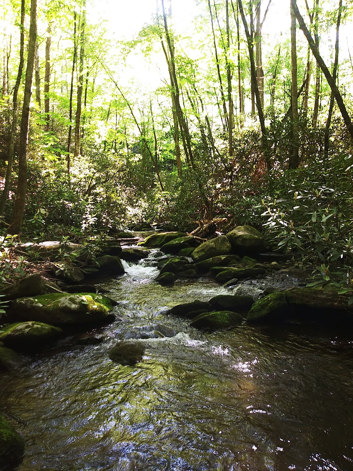
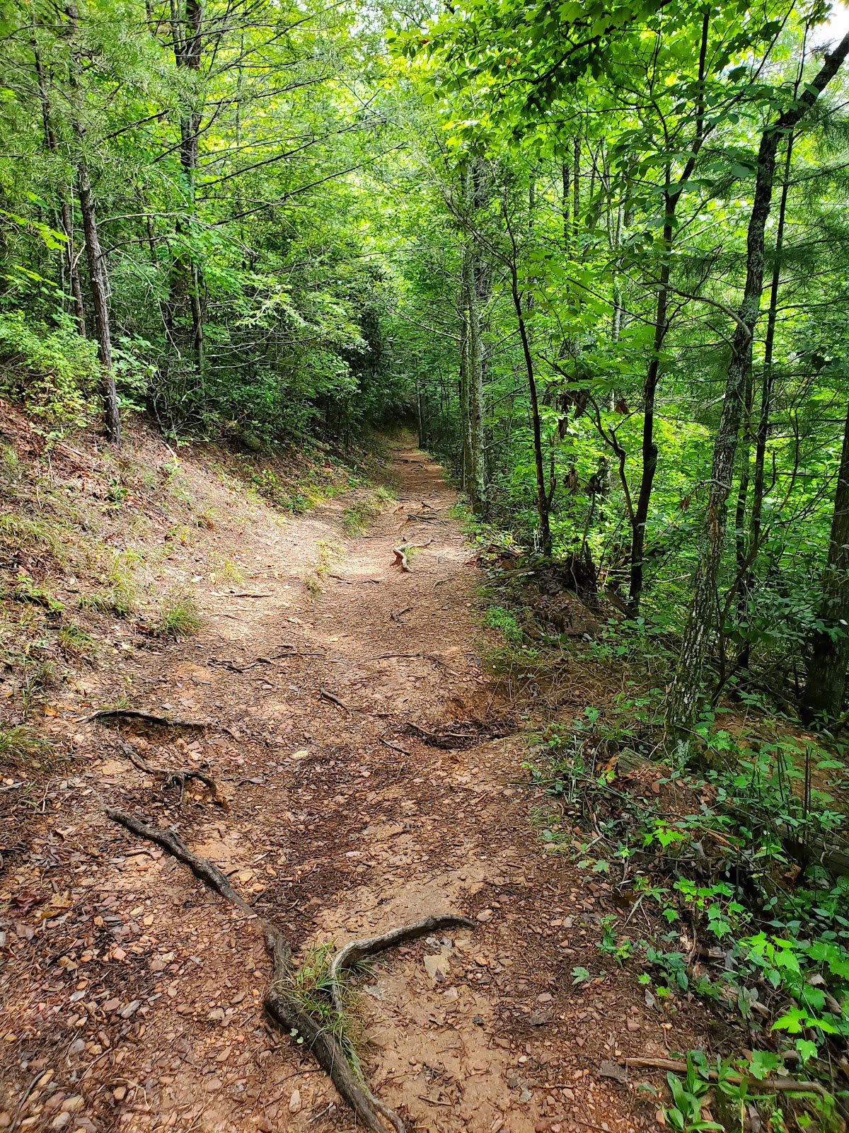
Meigs Creek Trail is a moderate hiking route located in the Great Smoky Mountains National Park near Pigeon Forge, Tennessee. The trail stretches approximately 7 miles roundtrip and is known for its numerous stream crossings, totaling 18. It winds through dense forest, offering hikers a tranquil setting away from busier paths. The trail is favored by those seeking solitude and a connection with the natural landscape.

The trail follows Meigs Creek, a tributary that has shaped the surrounding terrain through centuries of erosion and sediment deposits. The area sits within a region rich in Appalachian biodiversity, where ancient mountains meet vibrant ecosystems. Historically, the region was home to Cherokee communities who valued the forests and waterways for sustenance and travel. Today, the trail preserves this natural heritage and allows visitors to experience a less-trodden part of the Smokies.

Hiking Meigs Creek Trail provides an immersive experience with frequent opportunities to cross clear, cool streams via stepping stones or fallen logs. Because of the many water crossings, the trail is best enjoyed when water levels are low, ensuring safer footing. The forest canopy provides shade and a peaceful atmosphere, making it a favorite for hikers looking to avoid crowds. Wildlife sightings are common, including deer and songbirds, adding to the sense of being deep in the wilderness.

Did You Know

  • Meigs Creek Trail includes 18 stream crossings, one of the highest numbers in the park (NPS.gov).
  • The trail passes through a mix of hardwood forests dominated by oak, hickory, and tulip poplar (Great Smoky Mountains Institute).
  • The area around Meigs Creek was once used by Cherokee people as part of their seasonal hunting grounds (Eastern Band of Cherokee Indians).
  • The stream crossings on Meigs Creek Trail range from shallow stepping stones to log bridges, requiring careful footing (Local Ranger Reports).
  • Meigs Creek is a tributary feeding into the Little Pigeon River, which eventually flows through Pigeon Forge (USGS Water Data).
Adventure GSMNP Hiking Moderate Hike Water Activities
location_on
Address
Little River Road, Great Smoky Mountains NP
schedule
Hours
Sunrise to Sunset
timer
Typical Visit
3-4 hours

Frequently Asked Questions

How difficult is the Meigs Creek Trail?

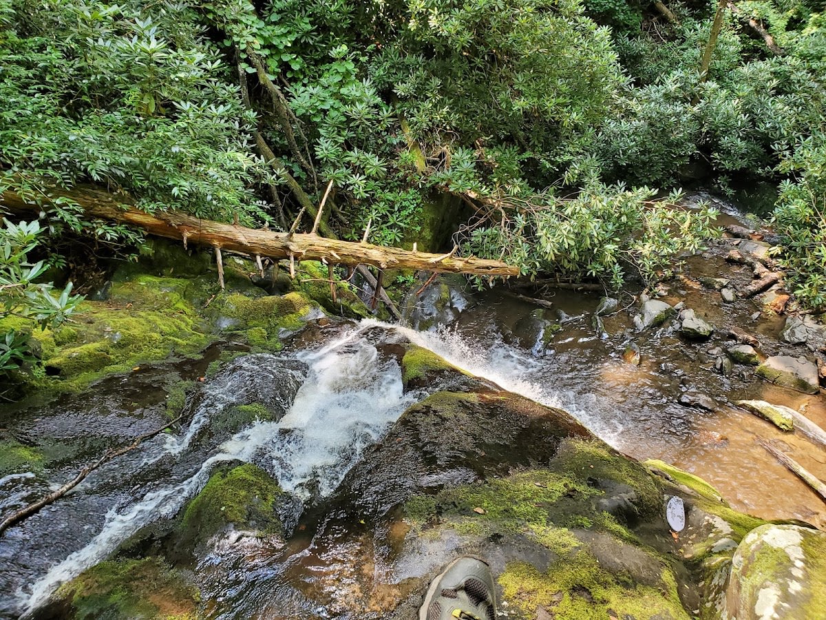
The trail is considered moderate due to its length and multiple stream crossings, which require careful footing but no technical climbing.

Are dogs allowed on Meigs Creek Trail?

Pets are not allowed on trails within Great Smoky Mountains National Park, including Meigs Creek Trail.

Is there a parking area near the trailhead in Pigeon Forge?

Yes, there is a small parking area near the trailhead accessible from the nearby forest road off Pigeon Forge.

Can I swim or wade in the streams along Meigs Creek Trail?

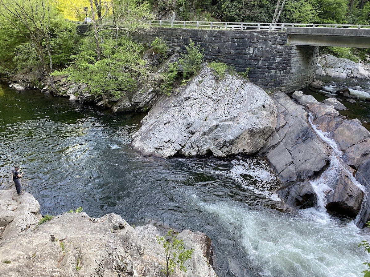
While some shallow areas are suitable for wading, swimming is not officially permitted and water levels can change quickly.

Are there any camping spots along Meigs Creek Trail?

There are no designated campsites directly on Meigs Creek Trail, but backcountry permits can be obtained for nearby areas within the park.

Take Home a Piece of Meigs Creek Trail

Branded LocaleTrips sticker set arriving soon. Use the trail cam Bigfoot sticker, the heritage benchmark, and the editorial portrait on your water bottle, laptop, or Instagram story.

Field Notes

Last reported Bigfoot sighting near Meigs Creek Trail: On March 12, 2025, a hiker reported seeing a large, shadowy figure near one of the stream crossings. The figure reportedly paused briefly before disappearing into the forest. While unverified, the tale has added a touch of mystery to Meigs Creek Trail among locals.

More in Great Smoky Mountains NP

Things to do nearby
Little River (Fishing)

Little River (Fishing)

local_activityPopular trout stream in GSMNP. Rainbow and brown trout. Free with park entry.
star 4.7 - 300 reviews
Crooked Arm Ridge Trail

Crooked Arm Ridge Trail

terrainModerate 2.2-mile trail in Great Smoky Mountains National Park.
star 4.771015333154474 - 231 reviews
Cold Spring Gap Trail

Cold Spring Gap Trail

terrainModerate 3.5-mile trail in Great Smoky Mountains National Park.
star 4.614409298889206 - 372 reviews
Little River Trail

Little River Trail

terrainEasy 12.4-mile one-way trail following a beautiful mountain stream.
star 4.6 - 1,432 reviews
Cucumber Gap Loop Trail

Cucumber Gap Loop Trail

terrainEasy 5.5-mile loop through Elkmont area with creek crossings.
star 4.5 - 654 reviews
Elkmont Nature Trail

Elkmont Nature Trail

terrainEasy 0.8-mile loop exploring the historic Elkmont area.
star 4.3 - 654 reviews
Browse Cabins Call