Outdoors - Waterfalls
Laurel Falls Trail: A Scenic Waterfall Walk in the Smokies
Nature Lovers
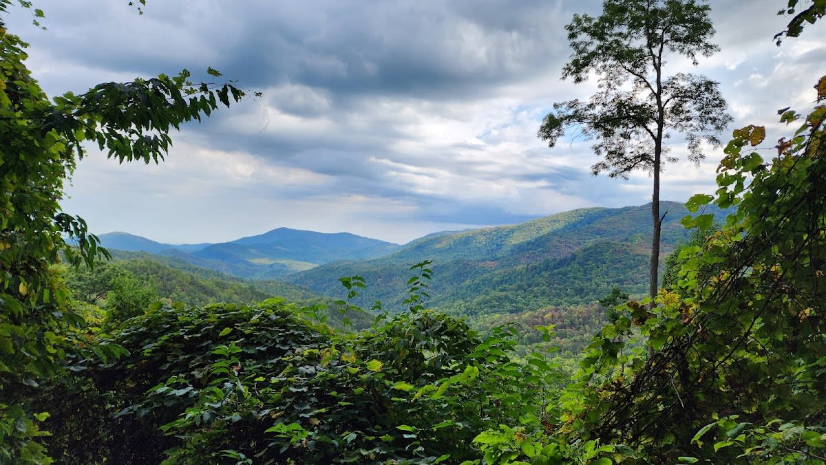
Scenic Views
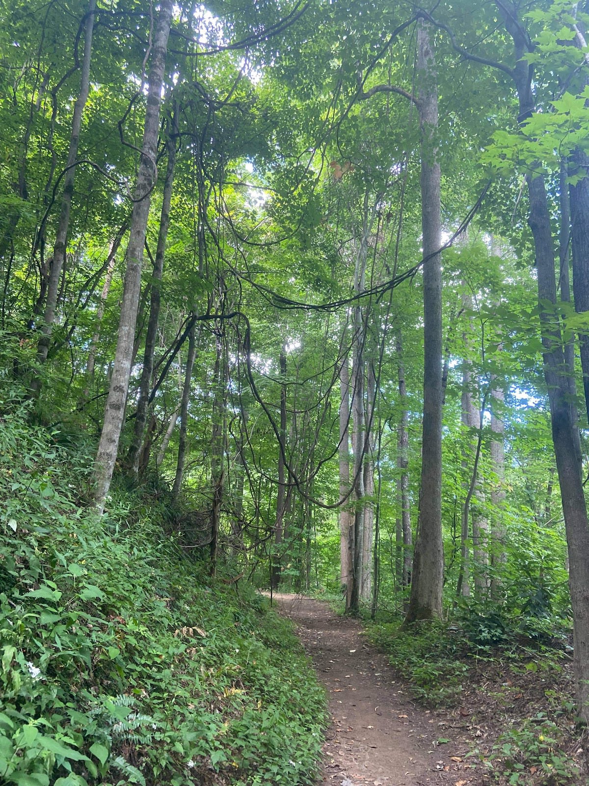
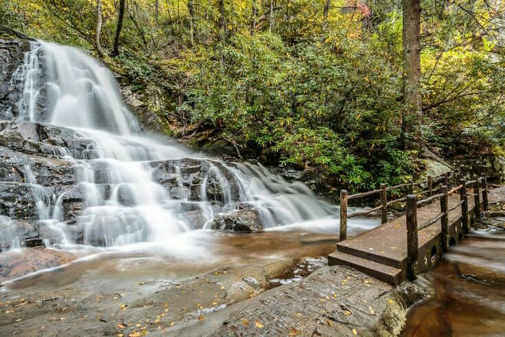
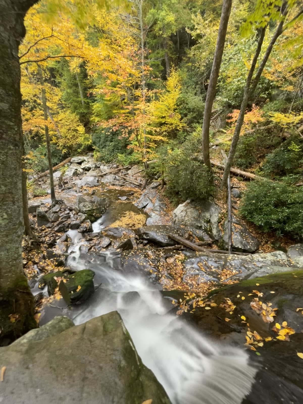
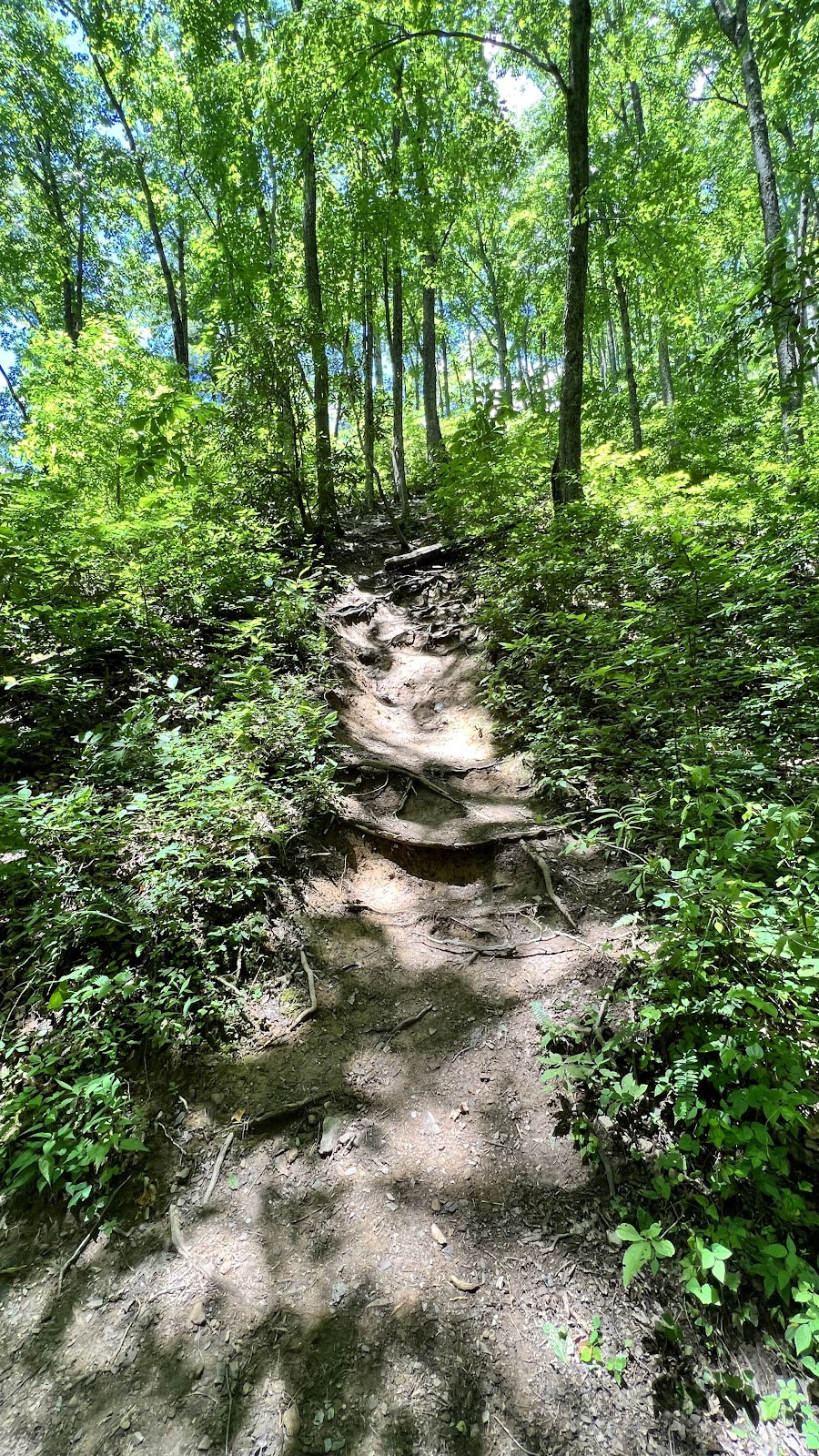
Laurel Falls Trail is one of the most popular hikes in Great Smoky Mountains National Park, known for its paved path and easy accessibility. The trail is a 2.6-mile roundtrip featuring moderate elevation gain and leads to an 80-foot cascading waterfall. Its pavement makes it more approachable than many other Smoky Mountain hikes, attracting visitors of all experience levels. While it appears suitable for strollers and wheelchairs, some uneven sections and elevation changes present challenges. The waterfall at the end provides a rewarding destination with great photo opportunities.
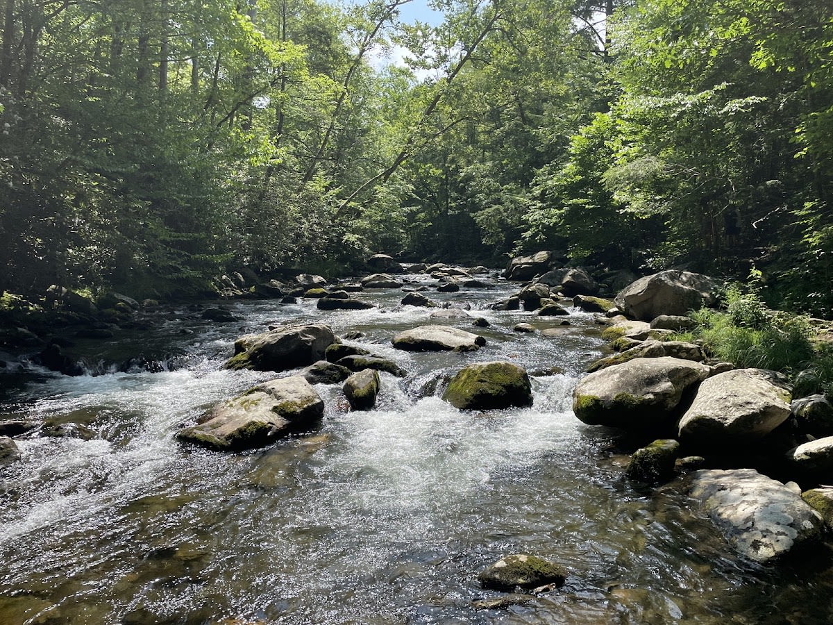
Laurel Falls is named for the mountain laurel shrubs that bloom abundantly in the surrounding area each spring. The waterfall itself follows a tributary of the Little River, which has shaped the local terrain over thousands of years. The trail was paved by the National Park Service in the 1970s to improve accessibility, a move that has since made it one of the park’s most heavily trafficked locations. The area’s geology consists of ancient sandstone and shale, typical of the Smokies’ rugged landscape. Cultural ties to the Cherokee people are still evident in the region’s place names and natural appreciation.
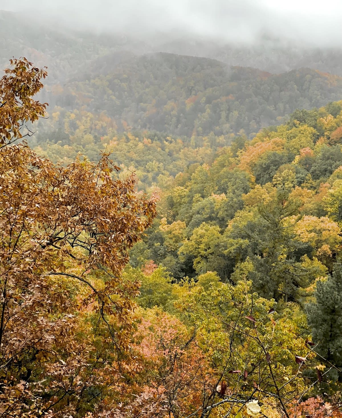
Visitors to Laurel Falls Trail often find the experience varies by time of day and season. Early mornings or late afternoons tend to be quieter, allowing for peaceful enjoyment of the waterfall and surrounding forest. During peak tourist months, the trail and parking lot can become quite crowded, which may detract from the natural setting. The sound of rushing water and the sight of rhododendrons and mountain laurels enhance the sensory experience. Hikers should come prepared with good footwear and water, as the trail’s paved surface includes some steep sections.
The trail is approximately 2.6 miles roundtrip, making it a relatively short and manageable hike for most visitors.
Although the trail is paved, sections with steep elevation and uneven surfaces make it unsuitable for wheelchairs and strollers.
Pets are not permitted on trails within Great Smoky Mountains National Park, including Laurel Falls Trail.
Bring sturdy footwear, water, and perhaps a camera. Early or late visits are best for avoiding crowds and heat.
Yes, there is a parking lot at the trailhead, but it can fill up quickly during peak seasons and weekends.
Branded Locale sticker set arriving soon. Use the heritage benchmark, the editorial illustration, and the photo frame on your water bottle, laptop, or Instagram story.