Spruce Flats Falls Trail
terrainOutdoors - Waterfalls

Spruce Flats Falls Trail: A Refreshing Waterfall Hike in the Tremont Area

starstarstarstar½ 4.7 (1,234 reviews)
location_onGreat Smoky Mountains NP scheduleSunrise to Sunset timer1-2 hours
Hidden Gems Nature Lovers

About

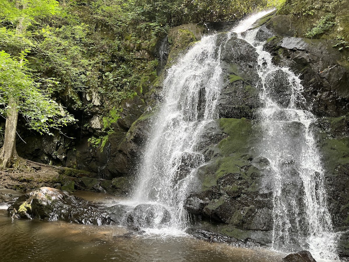
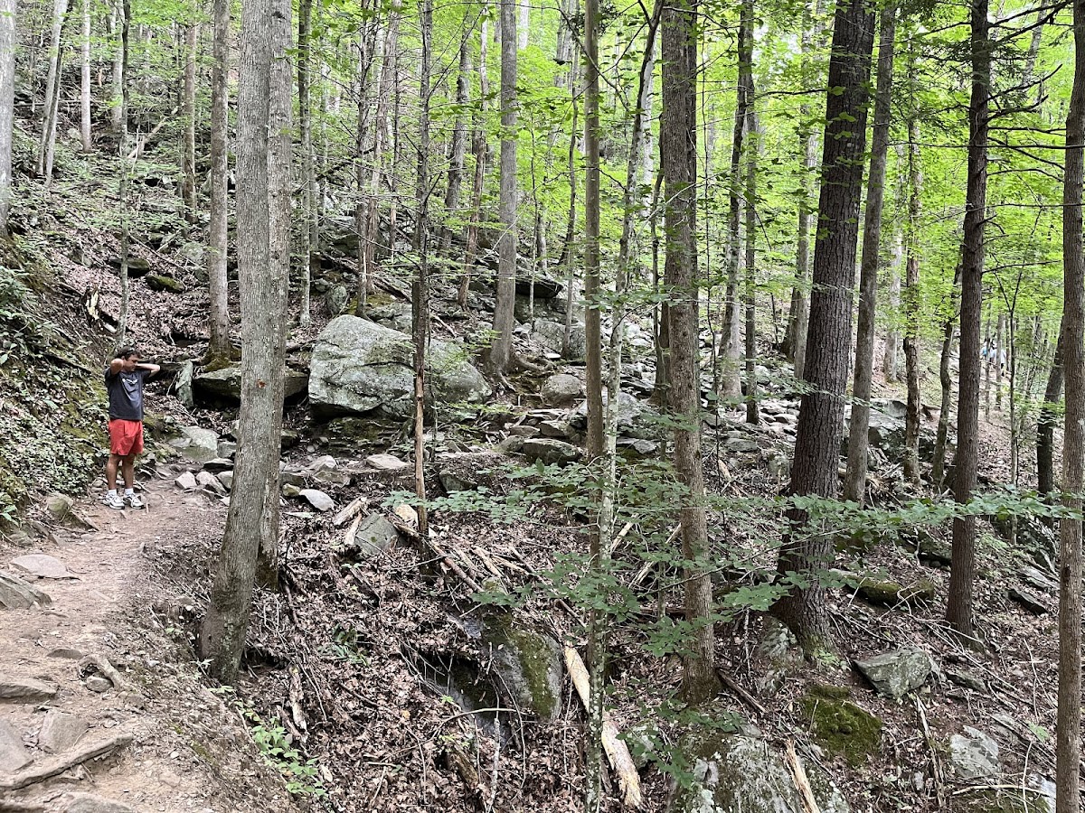
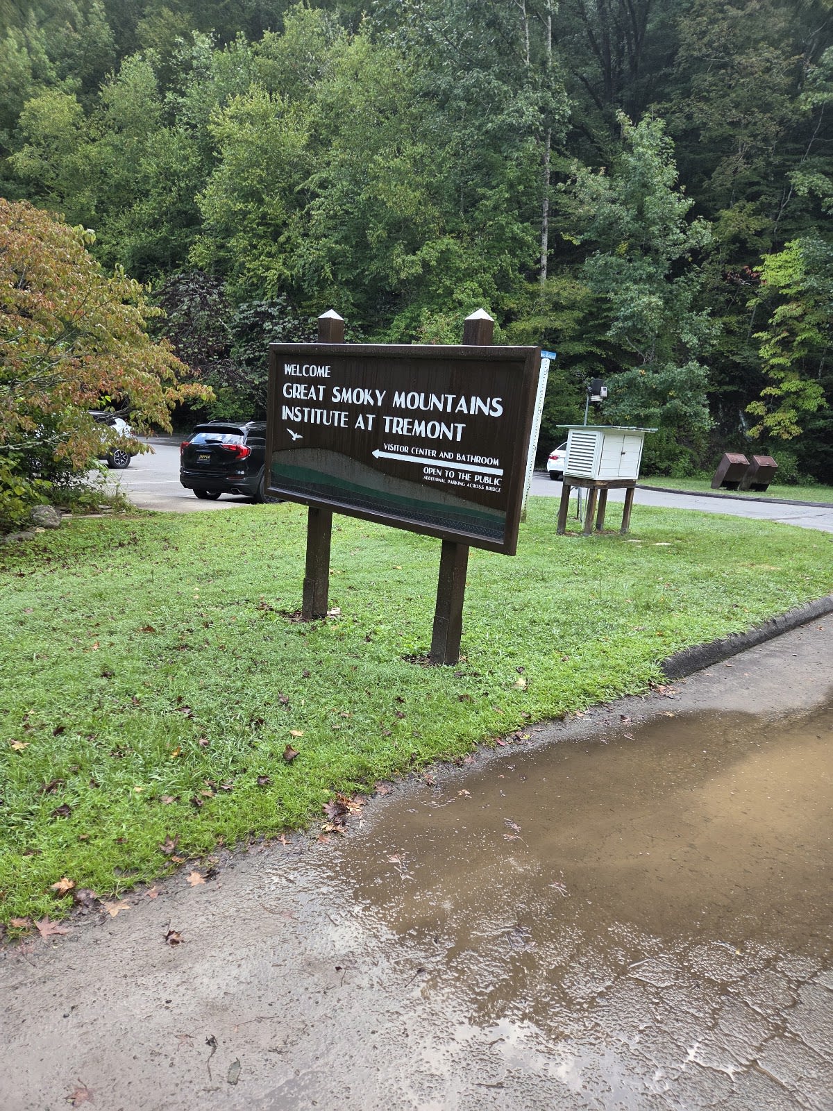
Spruce Flats Falls Trail is a moderate 2-mile roundtrip hike located in the Tremont area of Great Smoky Mountains National Park. The trail leads to a picturesque waterfall that cascades into a popular swimming hole. The path includes some steep sections, making it a satisfying hike for those seeking a bit of a challenge. This trail offers visitors a refreshing break with opportunities for wading and swimming during warmer months. It is one of the few places in the park where swimming is considered relatively safe.

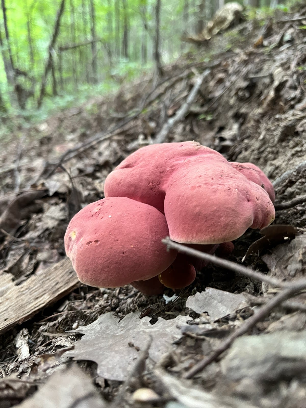
The waterfall itself is formed by Spruce Flats Creek, which flows through ancient Appalachian rock layers carved over millennia. The Tremont area has a rich history as a former logging community before becoming part of the National Park. Spruce Flats Falls showcases the natural regeneration of the forest and waterways following decades of conservation efforts. The surrounding forest is primarily mixed hardwoods with hemlocks and spruce adding to the diversity. Visitors often notice the preserved tranquility of this lesser-trafficked section of the park.

Hikers appreciate the balance of exercise and relaxation along this trail. After a steady ascent, the payoff is a cool, shaded pool perfect for dipping feet or swimming on hot days. The sound of the falling water provides a peaceful atmosphere. While popular, the area tends to be less crowded than more famous waterfalls in the park. Visitors should wear sturdy shoes due to the trail’s uneven terrain and be cautious near slippery rocks around the falls. Pack a picnic to enjoy near the water for a full day experience.

Did You Know

  • Spruce Flats Falls is located near the historic Tremont Institute, a former forestry education center (NPS).
  • The waterfall drops approximately 30 feet over a bed of ancient sandstone (Great Smoky Mountains Association).
  • Swimming is allowed here, but visitors should always exercise caution due to slippery rocks and occasional swift currents (NPS).
  • The trail was originally used by lumber workers before the area was protected (Great Smoky Mountains Heritage Center).
  • Hemlock woolly adelgid infestations have affected nearby trees, but conservation efforts are ongoing (US Forest Service).
GSMNP Hiking Moderate Hike Swimming Waterfalls
location_on
Address
Tremont, Great Smoky Mountains NP
schedule
Hours
Sunrise to Sunset
timer
Typical Visit
1-2 hours

Frequently Asked Questions

How long is the Spruce Flats Falls Trail?

The trail is approximately 2 miles roundtrip, making it suitable for a half-day hike.

Is swimming allowed at Spruce Flats Falls?

Yes, swimming is permitted and is considered relatively safe compared to other areas, but caution is advised.

Are pets allowed on the trail?

Pets are not allowed on trails within Great Smoky Mountains National Park to protect wildlife and visitors.

What should I bring for the hike?

Bring sturdy hiking shoes, water, insect repellent, and a swimsuit if you plan to swim.

Is there parking available near the trailhead?

Yes, there is a small parking area near the trailhead in the Tremont area, but it can fill up on busy days.

Take Home a Piece of Spruce Flats Falls Trail

Branded LocaleTrips sticker set arriving soon. Use the trail cam Bigfoot sticker, the heritage benchmark, and the editorial portrait on your water bottle, laptop, or Instagram story.

Field Notes

Last reported Bigfoot sighting near Spruce Flats Falls Trail: On August 14, 2024, a group of hikers near Spruce Flats Falls reported spotting a large, furry figure moving quickly through the trees. They described it as about seven feet tall and covered in dark hair but disappeared before they could get a clear view. The sighting sparked some amused debate at the Tremont Ranger Station.

More in Great Smoky Mountains NP

Things to do nearby
Middle Prong Trail

Middle Prong Trail

terrainEasy 4.1-mile one-way trail along a beautiful stream with old-growth trees.
star 4.5 - 765 reviews
Kanati Fork Trail

Kanati Fork Trail

terrainModerate 2.9-mile trail in Great Smoky Mountains National Park.
star 4.6287096586158745 - 576 reviews
Schoolhouse Gap Trail

Schoolhouse Gap Trail

terrainEasy 4.4-mile roundtrip on a wide, gentle trail.
star 4.3 - 543 reviews
Cold Spring Gap Trail

Cold Spring Gap Trail

terrainModerate 3.5-mile trail in Great Smoky Mountains National Park.
star 4.614409298889206 - 372 reviews
Chestnut Top Trail

Chestnut Top Trail

terrainModerate 5.6-mile roundtrip through hardwood forest with spring wildflowers and
star 4.4 - 543 reviews
Meigs Creek Trail

Meigs Creek Trail

terrainModerate 7-mile roundtrip with multiple stream crossings.
star 4.3 - 432 reviews
Browse Cabins Call