Mount Cammerer Trail is a strenuous 11.2-mile roundtrip hike located in the Great Smoky Mountains National Park, Tennessee. The trail ascends over 3,000 feet, leading to a stone fire tower perched atop Mount Cammerer. This vantage point offers sweeping 360-degree views of the surrounding mountains and valleys. The trail is favored by hikers seeking both physical challenge and rewarding scenery. It provides an immersive experience in the diverse terrain of the Smokies.
The fire tower at Mount Cammerer was constructed in the 1930s by the Civilian Conservation Corps, a New Deal program that left a lasting mark on the park’s infrastructure. Built from local stone, the tower stands as a testament to early forest fire detection efforts and CCC craftsmanship. Geologically, Mount Cammerer is part of the ancient Appalachian Mountains, shaped by millions of years of erosion and uplift. The area also holds significance for Cherokee history, with nearby trails once used as travel routes through the mountains.
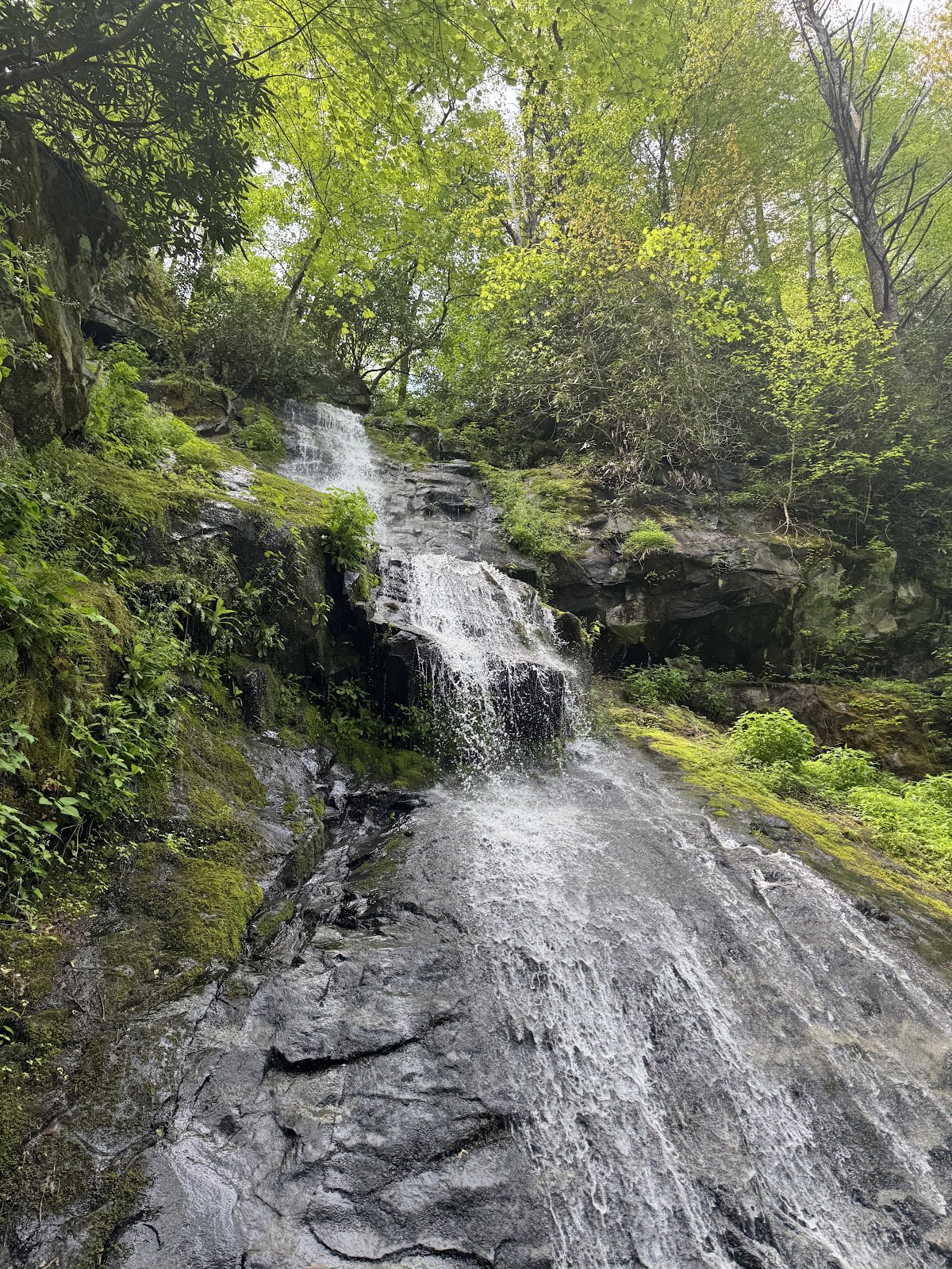
Visitors to Mount Cammerer Trail can expect a rugged, yet well-maintained path that weaves through mixed hardwood forests and rhododendron thickets. Along the way, hikers may encounter wildflowers, wildlife, and tranquil streams. The fire tower platform is a popular spot for rest and photos, especially during clear days when visibility extends for miles. Because of the climb’s difficulty, it is best suited for experienced hikers with proper footwear and supplies. The sense of accomplishment upon reaching the summit is often cited as a highlight of any Smokies visit.
Most hikers complete the 11.2-mile roundtrip in 5 to 7 hours, depending on pace and rest stops.
The trail is considered strenuous due to elevation gain and length, so it is recommended for experienced hikers or those in good physical condition.
Pets are not permitted on trails within Great Smoky Mountains National Park, including Mount Cammerer Trail.
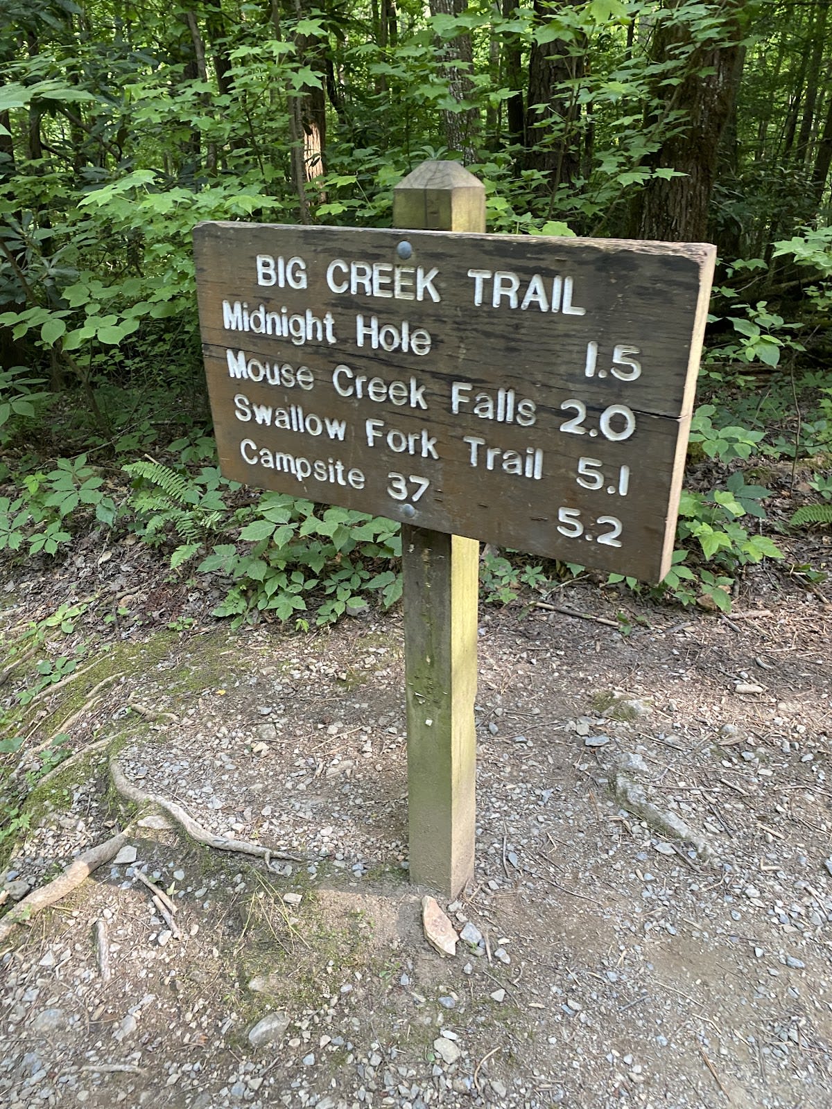
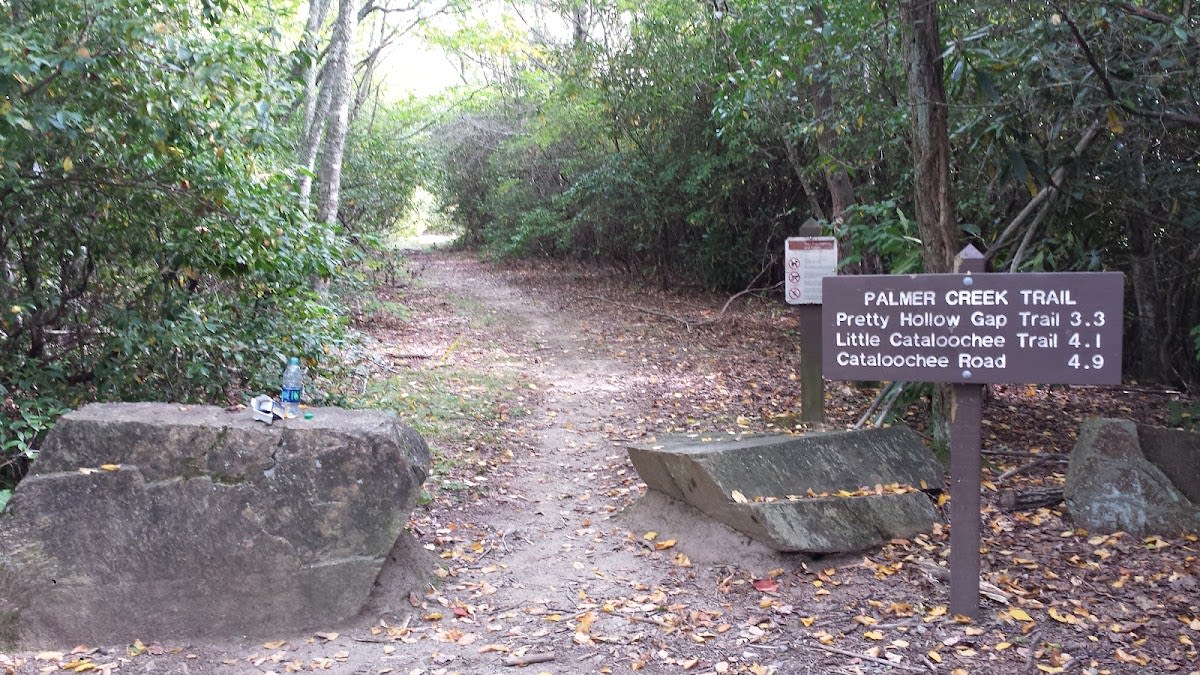
The trailhead is accessed from Cosby Campground, which has a designated parking lot for hikers.
Yes, the stone fire tower is open to visitors and offers a platform to enjoy panoramic views.
Branded LocaleTrips sticker set arriving soon. Use the trail cam Bigfoot sticker, the heritage benchmark, and the editorial portrait on your water bottle, laptop, or Instagram story.
Field Notes
Last reported Bigfoot sighting near Mount Cammerer Trail: In late October 2024, a group of hikers reported seeing a large, shadowy figure near the fire tower just before dusk. Described as tall and covered in dark hair, the figure disappeared quickly into the forest. While no evidence was found, the story adds to the many mysterious tales surrounding the Smoky Mountains.