Outdoors - Hiking Trails
Rough Creek Trail: Rugged Terrain and Scenic Waterways in the Smokies
Hidden Gems
Nature Lovers
Scenic Views
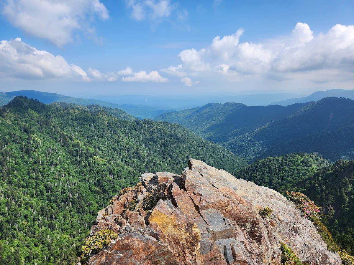
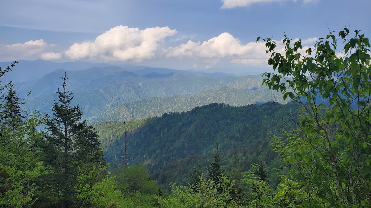
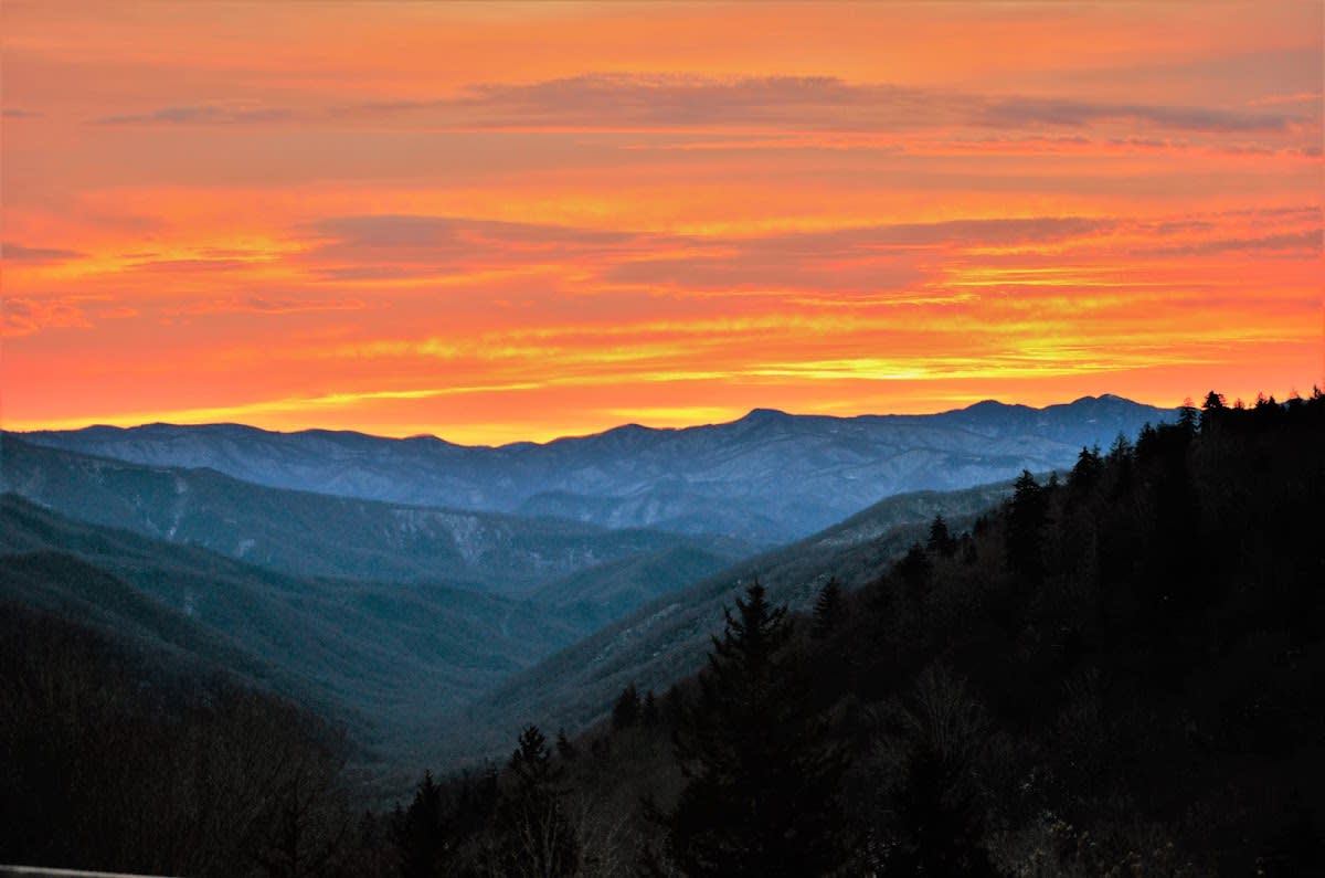
Rough Creek Trail is a moderately challenging hiking route that winds through the heart of Great Smoky Mountains National Park in Tennessee. The trail features a mix of rocky paths, shaded forest sections, and frequent creek crossings that create a dynamic hiking experience. It offers hikers a chance to immerse themselves in untouched wilderness, with mountain vistas appearing at various points along the way. This trail is ideal for those looking to explore less-traveled areas of the park while enjoying a rewarding physical challenge.
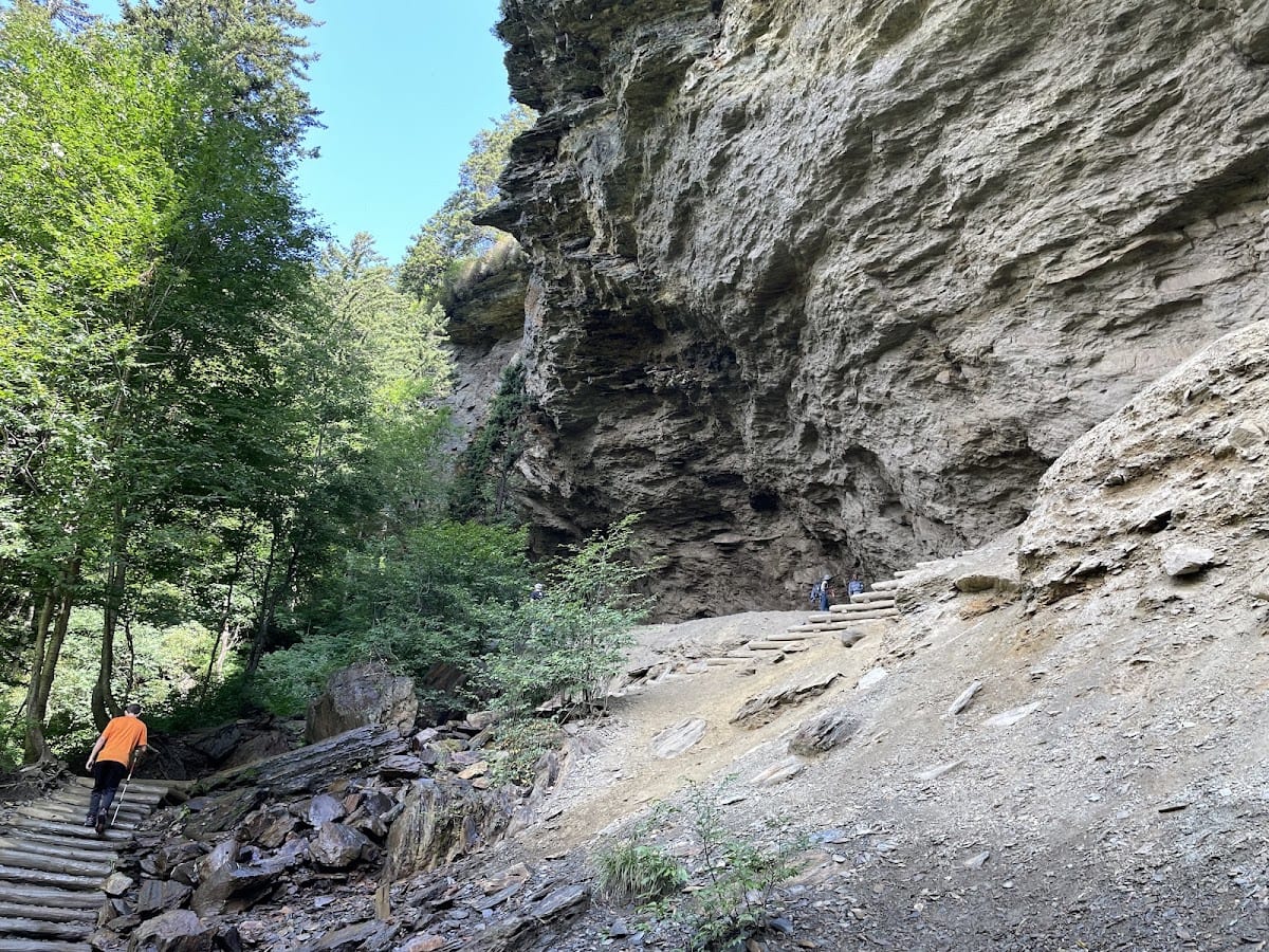
The terrain along Rough Creek Trail reflects the park’s complex geological history, shaped by ancient mountain-building forces and ongoing erosion. The creek itself carves through layers of sandstone and shale, creating small cascades and pools that add to the trail’s natural charm. Historically, this area was used by early settlers and Cherokee travelers who navigated these mountain passages. The trail today preserves much of that sense of wilderness and discovery, offering a glimpse into both natural and cultural pasts within the Smokies.
Visitors to Rough Creek Trail often comment on the quiet solitude found along the path, with fewer crowds compared to more popular routes. Hikers should be prepared for uneven footing and occasional steep sections, which reward with clearings that frame distant mountain ridges. The sound of flowing water from the creek provides a calming soundtrack, enhancing the feeling of being deep in the forest. Wildlife sightings are common, including deer and various songbirds, making each trip a unique encounter with Smoky Mountain nature.
The trail is approximately 5.5 miles round trip, depending on the exact start and end points chosen.
The trail is moderately difficult due to rocky terrain and creek crossings, so it is better suited for hikers with some experience.
Yes, Rough Creek crosses the trail multiple times, providing natural water sources, but it is recommended to carry filtered or treated water.
On clear days, especially from higher clearings, you can catch partial views of Kuwohi, the highest peak in the park.
Pets are allowed on designated trails in the park but must be kept on a leash no longer than 6 feet at all times.
Branded LocaleTrips sticker set arriving soon. Use the trail cam Bigfoot sticker, the heritage benchmark, and the editorial portrait on your water bottle, laptop, or Instagram story.
Field Notes
Last reported Bigfoot sighting near Rough Creek Trail in Great Smoky Mountains NP: On April 12, 2024, a local hiker reported seeing a large, shadowy figure near one of the creek crossings on Rough Creek Trail. The witness described it as standing upright and disappearing quickly into the woods. While no evidence was found, the report added to the Smokies' collection of Bigfoot stories.