Attractions - Theme Parks
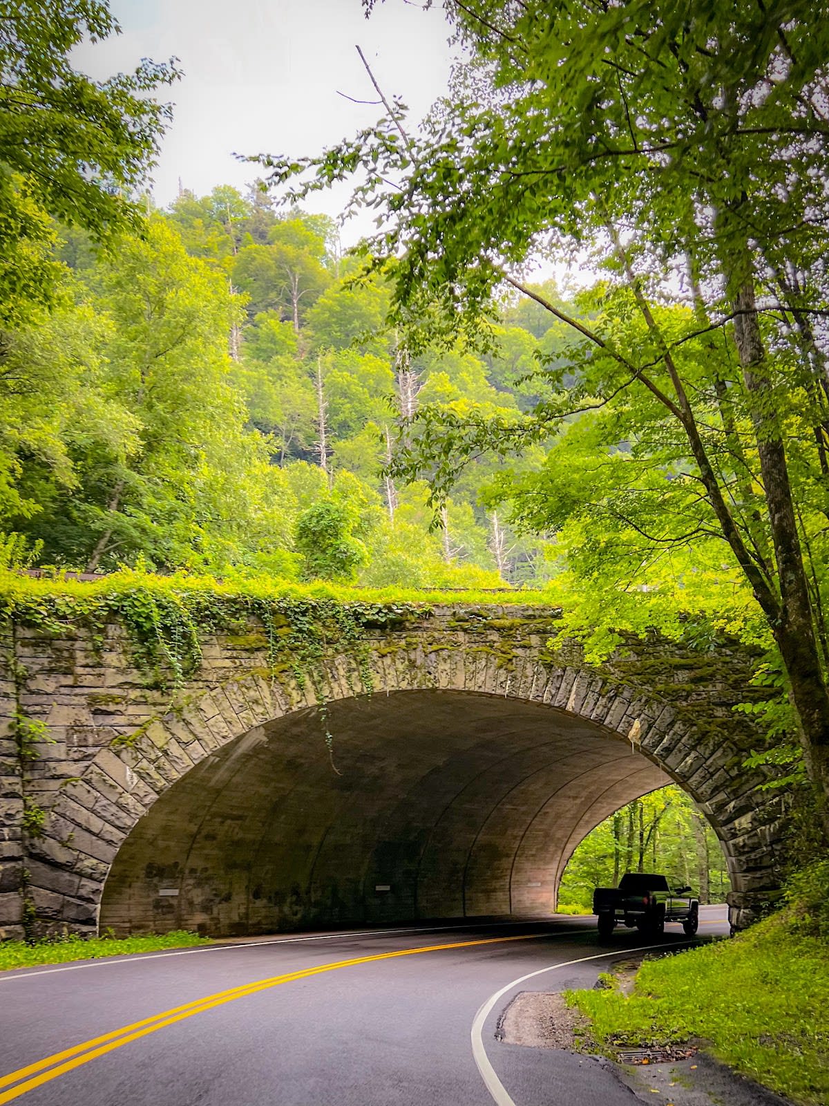
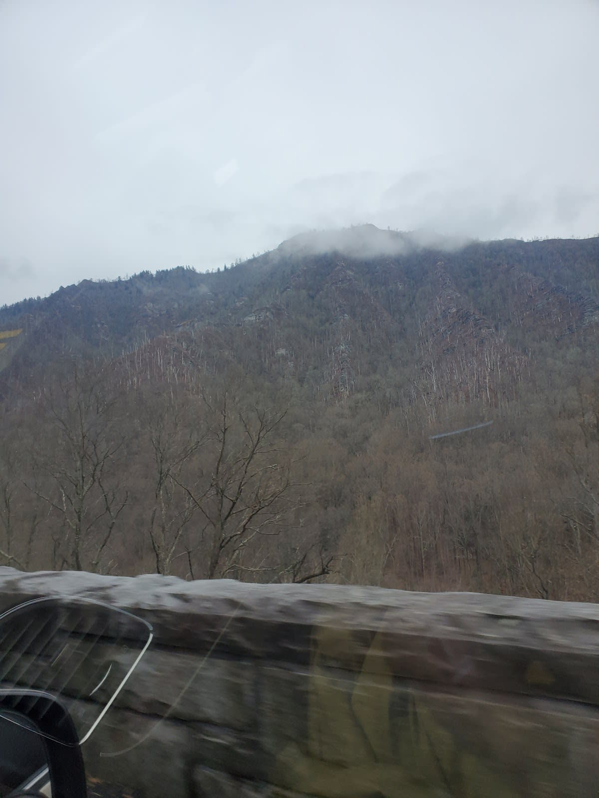
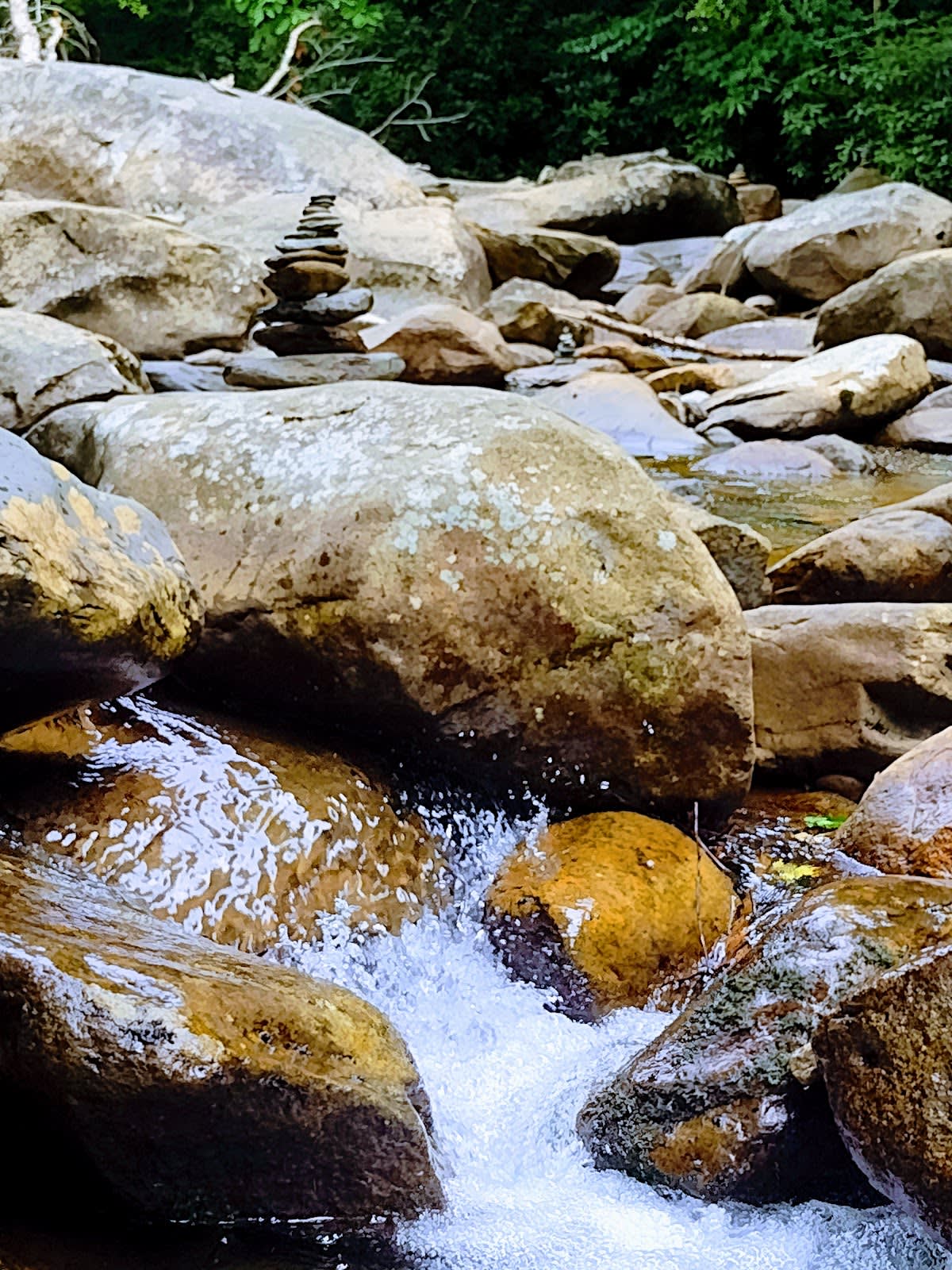
The Loop is a picturesque section of Highway 441, also called Newfound Gap Road, which runs about 31 miles through Great Smoky Mountains National Park between Gatlinburg, Tennessee, and Cherokee, North Carolina. The road offers breathtaking overlooks, dense forest, and quiet mountain landscapes. Travelers can explore several trailheads and picnic spots along the way. The route is a favorite for those wanting a scenic alternative to the busier park entrances.
This highway follows paths long used by Native American tribes, including the Cherokee, who historically inhabited these mountains. The rugged terrain is part of the ancient Appalachian Mountains, shaped over hundreds of millions of years. Farther along, Newfound Gap Road gives access to Kuwohi, the highest point in the park. Its construction in the early 20th century was a major effort to improve accessibility to the park’s interior.
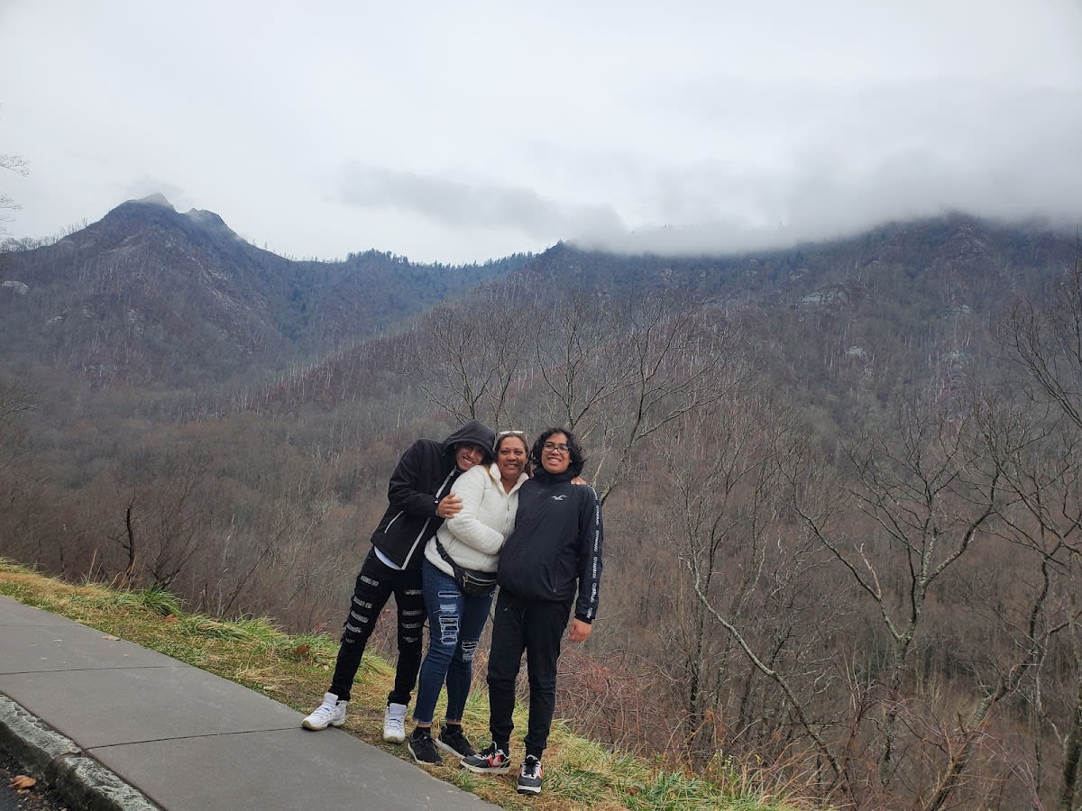
Visitors often take the drive slowly to enjoy lookout points such as Newfound Gap and the overlooks near Kuwohi. Wildlife sightings including deer and black bears are common, especially during early morning or late afternoon. The road can be narrow and winding, so caution is advised. Seasonal changes bring vibrant fall colors and lush spring greenery, making the drive visually rewarding year-round.
The Loop is generally open from late spring to early fall. Winter weather can cause temporary closures due to snow or ice.
Yes, several trailheads such as the Alum Cave Trail and Kuwohi Trail provide access to popular hikes.
Yes, black bears, deer, and a variety of bird species are commonly seen along the route, especially during dawn and dusk.
There are designated picnic areas and restrooms at certain overlooks and trailheads along the drive.
The Loop has narrow and winding sections; large vehicles should drive with caution and check park guidelines.
Branded Locale sticker set arriving soon. Use the heritage benchmark and the editorial portrait on your water bottle, laptop, or Instagram story.