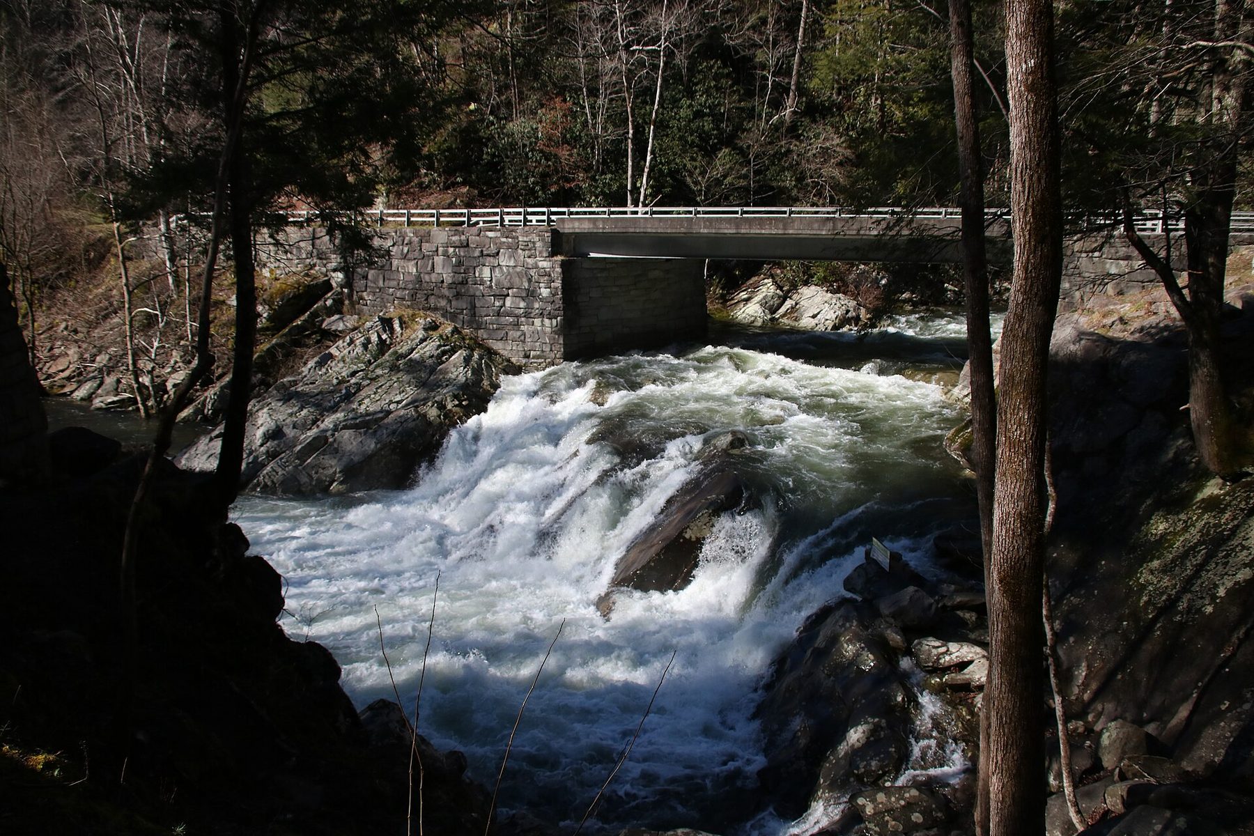
The Sinks is one of the most dramatic roadside stops in the Smokies. The full force of the Little River funnels through a rocky gap and churns into a deep pool, all within steps of Little River Road. Because it has its own parking area and a viewing area close to the road, it is an easy stop for travelers heading between Gatlinburg and Townsend or on the way to Cades Cove, and a good way to feel the power of mountain water without a hike.
The Sinks was not carved by nature alone. During the logging era, a logjam built up at a bend in the river, and loggers used dynamite to clear it. The blast opened a new channel, creating the cascade you see today. Interpretive exhibits at the site tell more of the story. The Meigs Creek Trail starts from the same parking area for those who want a longer walk, and Meigs Falls is about a mile farther west along the road.
The Sinks is about 12 miles west of Sugarlands Visitor Center, or about 8 miles east of the Townsend Wye, near Metcalf Bottoms Picnic Area. There are no signs marking it, so watch for the parking lot beside the river. Visitors have drowned here: the current and undertow are strong, and the National Park Service asks everyone to enjoy the Sinks from the designated viewing area. A park parking tag is needed to park more than 15 minutes.
Photo: Warren Bielenberg / Great Smoky Mountains National Park, Public domain (NPS)
The park strongly discourages it. Visitors have drowned here, and the National Park Service asks everyone to enjoy the Sinks from the designated viewing area.
It is about 12 miles west of Sugarlands Visitor Center, or about 8 miles east of the Townsend Wye, near Metcalf Bottoms. There are no signs, so watch for the riverside parking lot.
Yes. The Sinks has its own parking area. A park parking tag is required to park longer than 15 minutes: $5 daily, $15 weekly or $40 annual.
Yes. Meigs Falls is about a mile farther west, the Meigs Creek Trail starts at the Sinks lot, and Metcalf Bottoms Picnic Area is nearby.
Branded Locale sticker set arriving soon. Use the heritage benchmark and the editorial portrait on your water bottle, laptop, or Instagram story.