Outdoors - Waterfalls
Abrams Falls Trail: A Refreshing Hike Through Cades Cove
Nature Lovers
Scenic Views
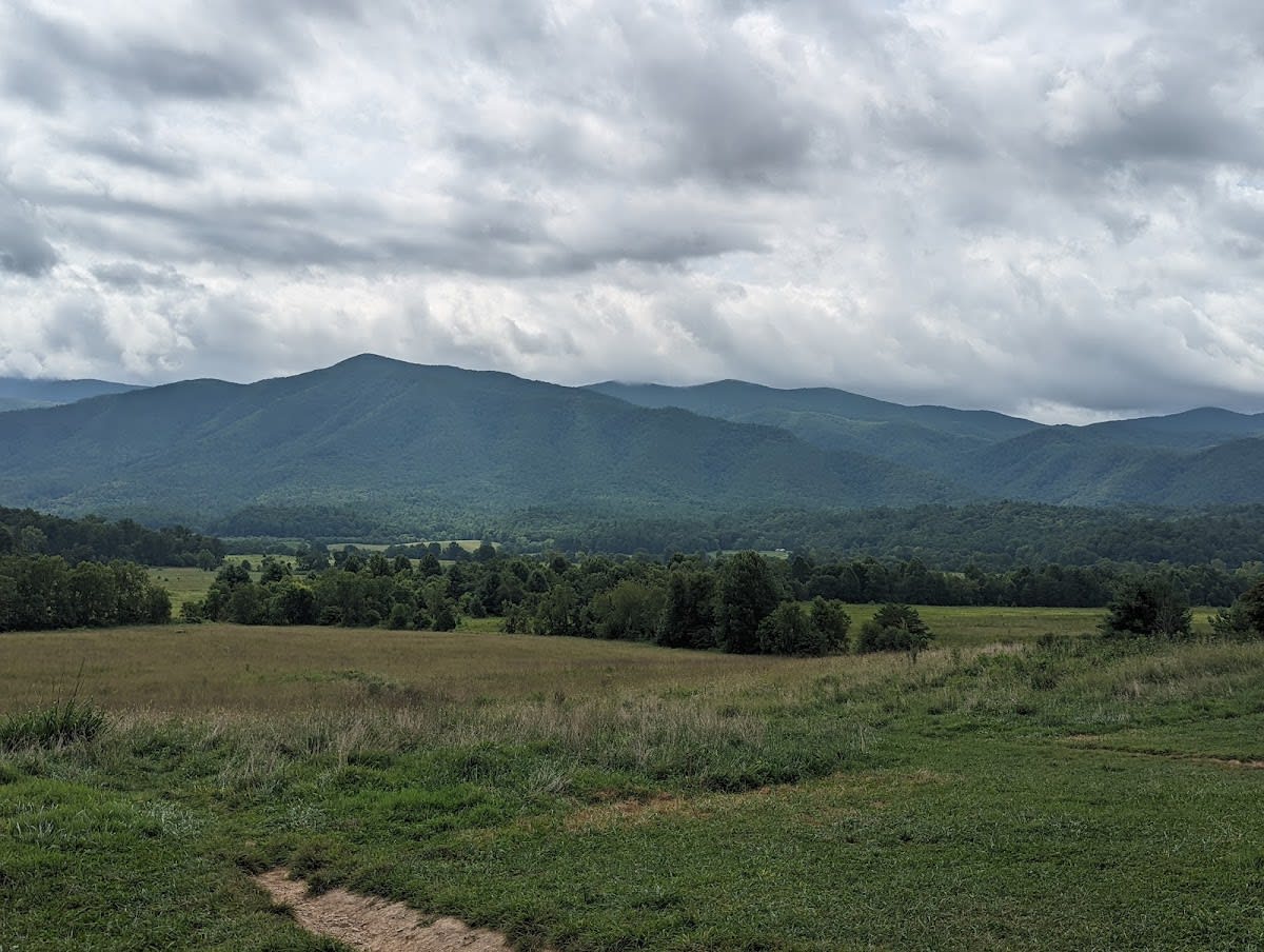
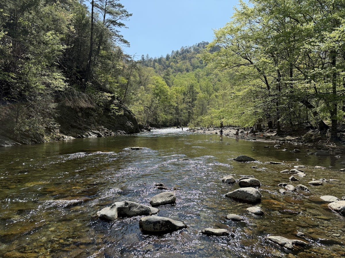
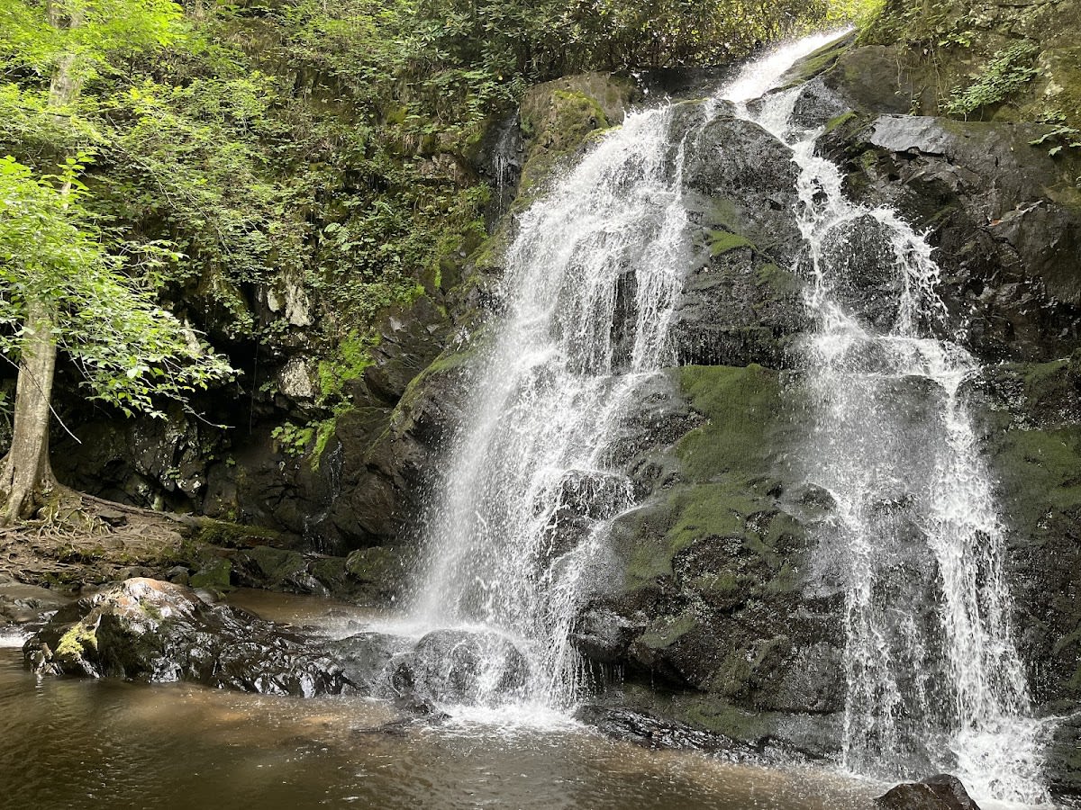
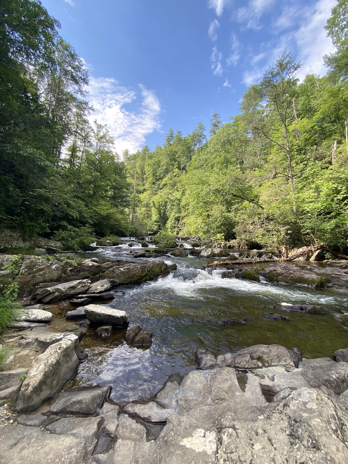
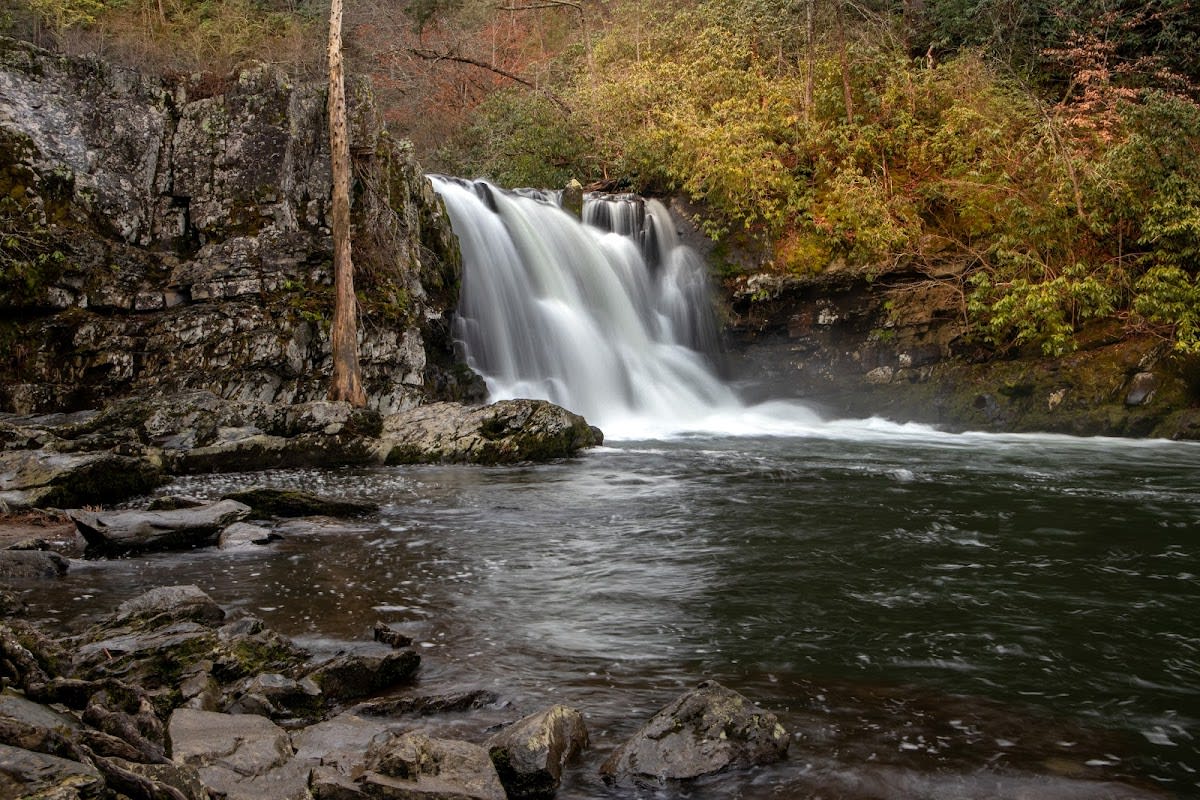
Abrams Falls Trail is a popular 5-mile roundtrip hike located in the heart of Cades Cove within Great Smoky Mountains National Park, Tennessee. The trail follows Abrams Creek closely, offering hikers a mostly shaded route with moderate elevation gain of around 700 feet. Four wooden footbridges cross the creek and its tributaries, making the path accessible without any scrambling. The trail culminates at Abrams Falls, a 20-foot waterfall known for its impressive water flow and natural swimming holes.
The trail and Abrams Falls are named after Chief Abrams, a Cherokee leader who once inhabited the area. The falls themselves are formed by Abrams Creek as it carves through ancient sandstone and shale rock layers typical of the Smokies’ rugged terrain. Cades Cove, where the trail is located, was historically a rich farming valley settled by European immigrants in the early 19th century. Today, the area preserves both natural and cultural history with well-maintained trails and historic structures nearby.
Visitors to Abrams Falls Trail enjoy a peaceful hike surrounded by mature hardwood forests and the sound of flowing water. The trail is moderately challenging but suitable for most hikers who are comfortable with uneven footing and some elevation. Many pause at the falls to relax, photograph, or cool off in the natural pools below. Wildlife sightings are common, including deer, wild turkeys, and a variety of songbirds, adding to the immersive outdoor experience.
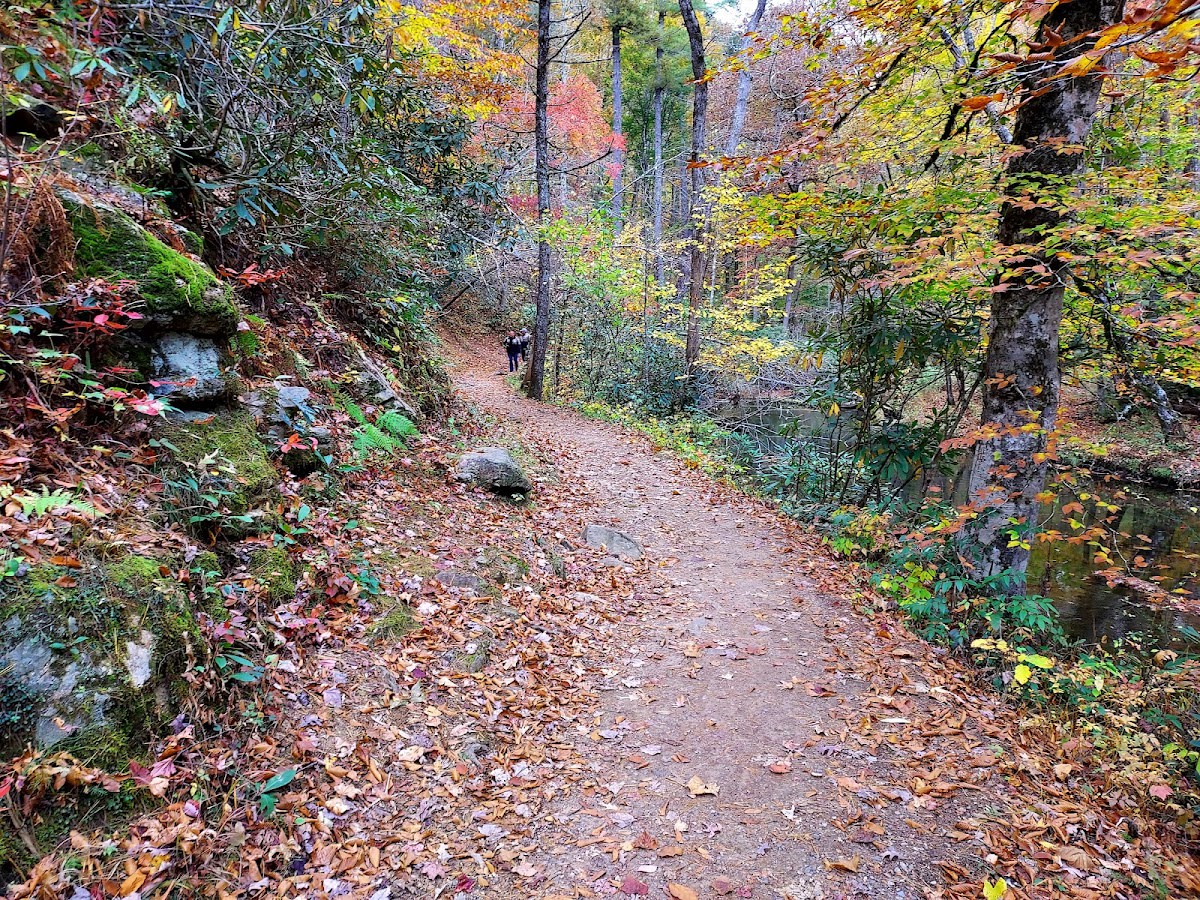
Mostly graded forest path with roots and rocks in spots, not a scramble.
Mostly shaded, a few open creek-side stretches.
Yes, follows Abrams Creek much of the way.
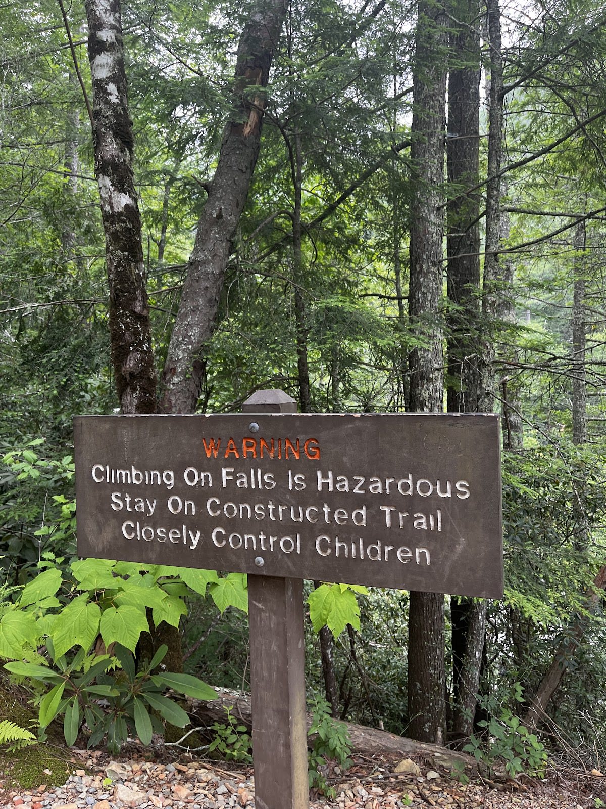
Waterfall and pool, swimming prohibited.
Four footbridge crossings of Abrams Creek and tributaries, no fords required. Bridges can be slick when wet, watch the wood.
Cades Cove picnic area at the trailhead with tables and grills, plus creek-side flat rocks along the trail. The falls base is scenic but crowded, head a few minutes back upstream for quieter water-side seating.
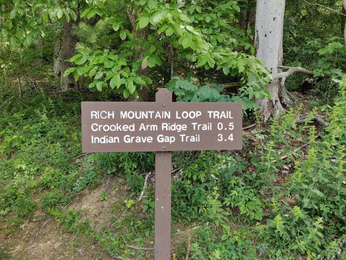
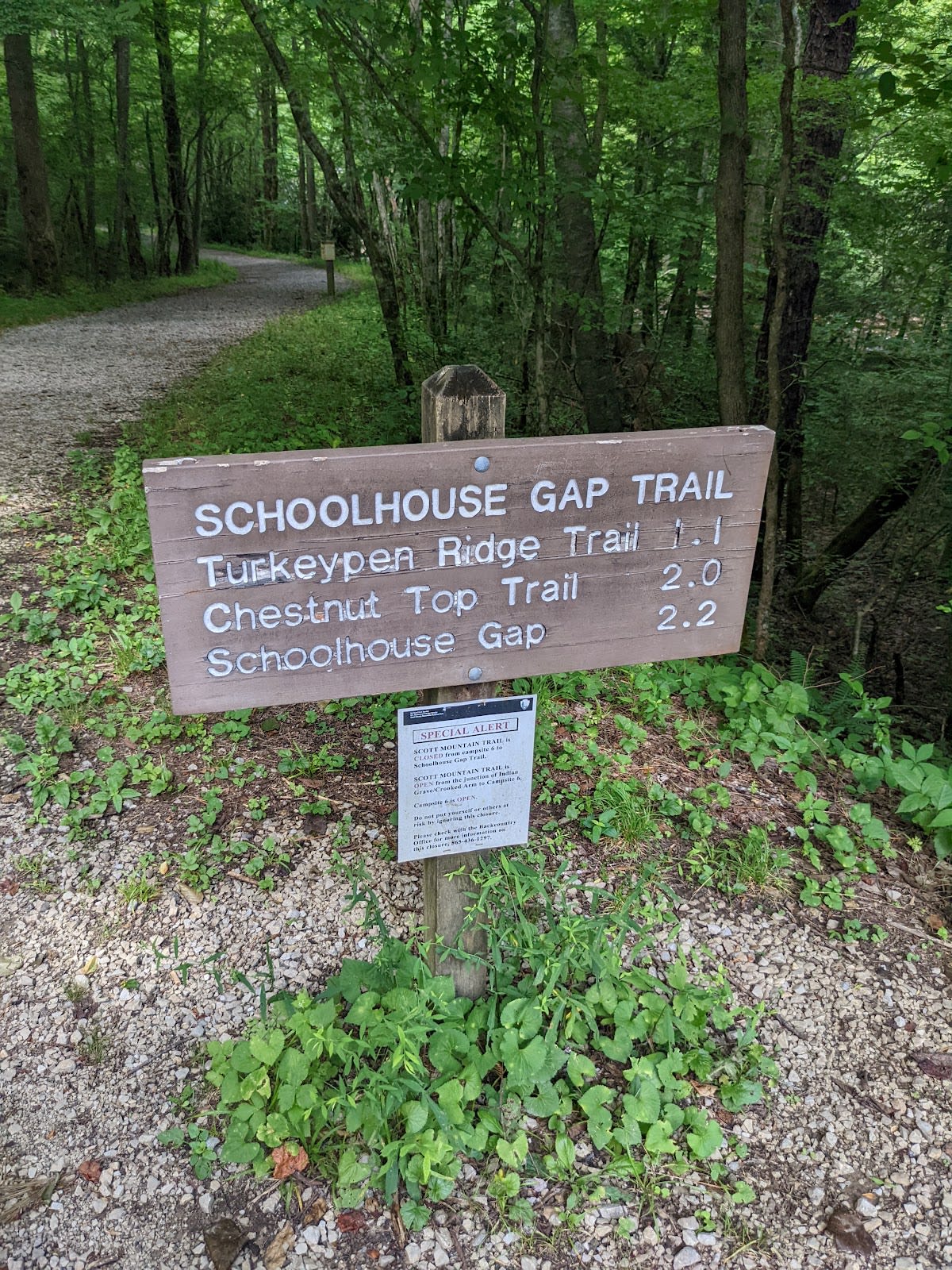
Junction with Hannah Mountain Trail; Cooper Road Trail and Wet Bottom Trail nearby.
Small lot at trailhead off the Cades Cove Loop spur road, fills by mid-morning. Check the loop's vehicle-free Wednesday schedule before driving in.
Wildflowers along the creek, water high and loud, expect muddy stretches.
Shaded and cooler than ridge trails, but gnats are thick late June through July, bring head net or repellent.
Peak color mid-October to early November, the creek corridor is beautiful, parking and loop traffic at their worst.
Quiet and clear, watch for ice on bridges and rocks, check Cades Cove Loop Road status before driving in.
The trail is approximately 5 miles roundtrip, with about 700 feet of elevation gain.
Swimming is allowed in the pools below Abrams Falls, but there are no lifeguards and caution is advised due to slippery rocks.
Pets are not allowed on trails within Great Smoky Mountains National Park, including Abrams Falls Trail.
Common sightings include white-tailed deer, wild turkeys, various songbirds, and occasionally black bears.
Yes, Abrams Falls Trail is open year-round, but hikers should be prepared for seasonal conditions.
Branded Locale sticker set arriving soon. Use the heritage benchmark, the editorial illustration, and the photo frame on your water bottle, laptop, or Instagram story.