Outdoors - Hiking Trails
Alum Cave Trail: A Captivating Hike Through Smoky Mountains History
Nature Lovers
Scenic Views
Geology Buffs
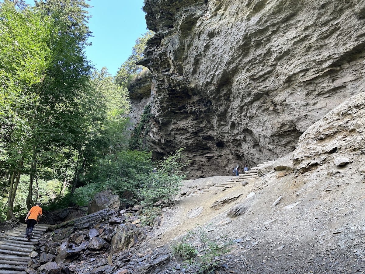
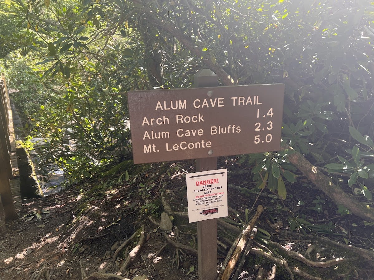
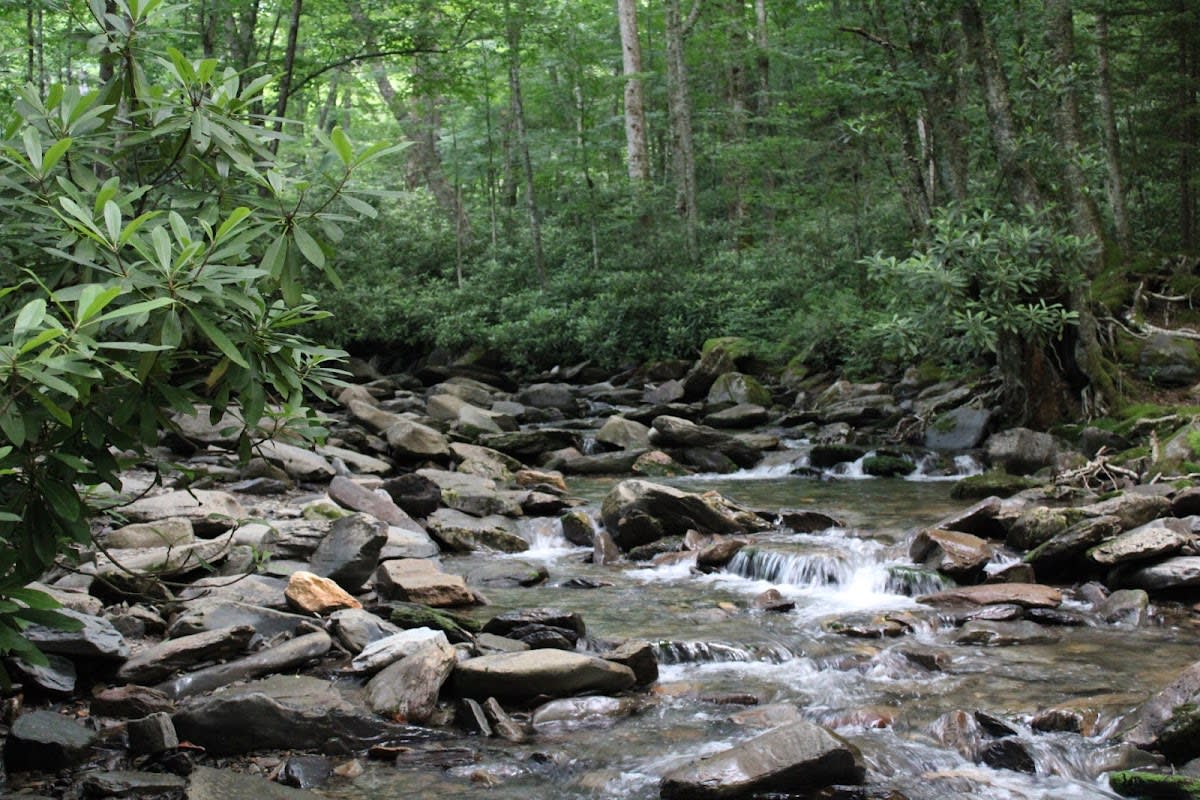
Alum Cave Trail is one of the most popular and rewarding hikes in Great Smoky Mountains National Park. This 5-mile roundtrip trail to Alum Cave Bluffs offers diverse terrain, fascinating geology, and stunning mountain views that draw hikers from around the world. The trail begins along Alum Cave Creek, crossing log bridges and passing through old-growth forest before reaching the dramatic Arch Rock, a natural tunnel carved through the mountain by centuries of water erosion.
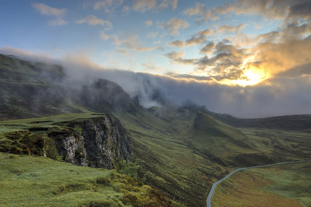
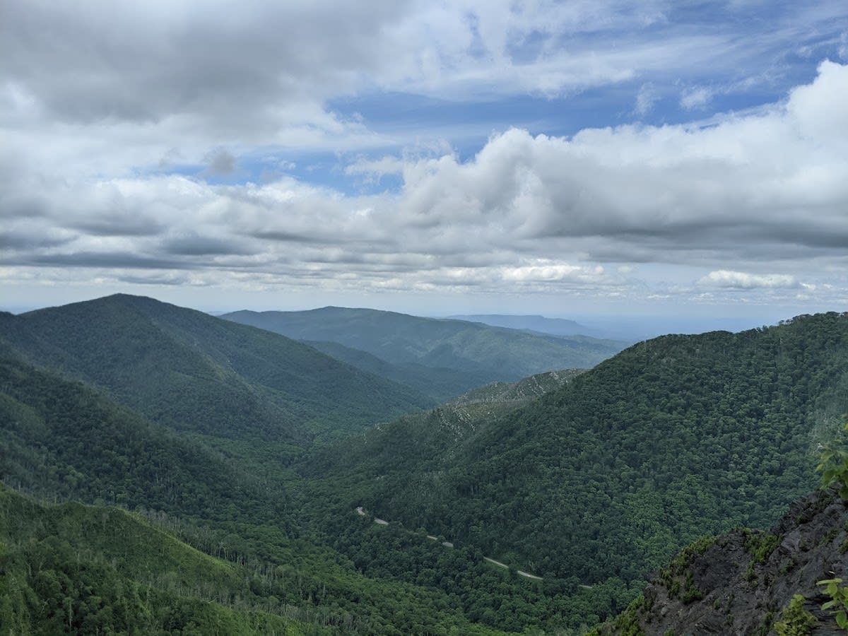
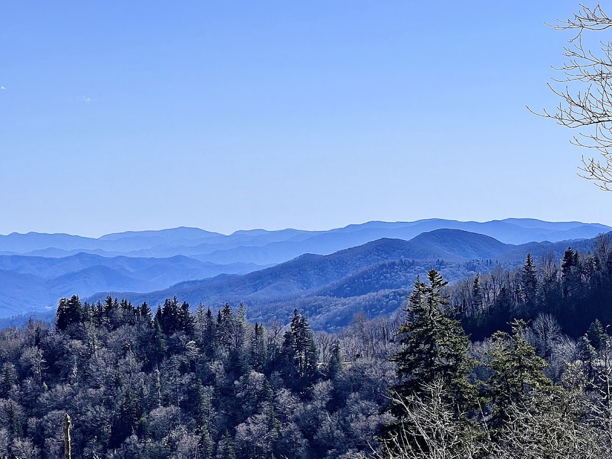
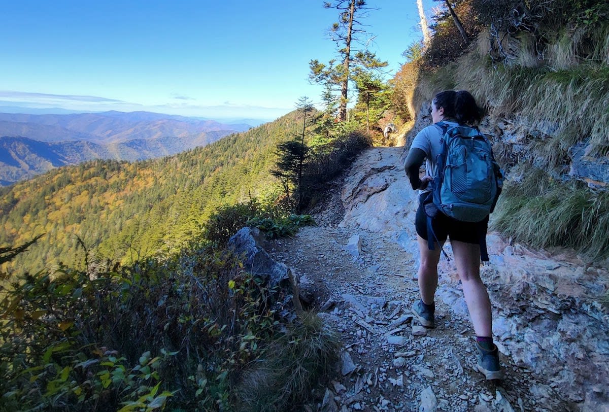
Beyond Arch Rock, the trail opens to sweeping views of Anakeesta Ridge and the surrounding peaks. The highlight is Alum Cave Bluff, an impressive 80-foot concave overhang that sheltered Confederate soldiers who mined the bluff for saltpeter during the Civil War. The bluff's mineral-stained walls and the cool air beneath the overhang make it a memorable rest stop. For ambitious hikers, the trail continues another 2.7 miles beyond the bluffs to the summit of Mount LeConte, the third highest peak in the Smokies.
The trail gains approximately 1,300 feet in elevation, making it moderate to strenuous depending on your fitness level. The trailhead is located on Newfound Gap Road, about 15 minutes from the Sugarlands Visitor Center. Parking fills early on busy days, so arriving before 8 a.m. is strongly recommended. Winter visits can reveal spectacular icicle formations along the bluff face, adding a seasonal dimension to this already remarkable hike.
Well-maintained path with rocky sections, log bridges, and cable handholds near the bluffs.
Mostly shaded through hardwood forest, with exposed sections near the bluffs and along Anakeesta Ridge.
Yes, follows Alum Cave Creek in the lower section with several small stream crossings.
No water at the bluffs. Bring plenty of water for the full hike.
Arch Rock natural tunnel, Inspiration Point overlook, and the massive 80-foot Alum Cave Bluff overhang.
Flat rocks along the creek in the first mile make good rest stops. The bluff overhang offers shelter but limited seating.
Trail continues 2.7 miles beyond the bluffs to Mount LeConte summit and LeConte Lodge.
Trailhead lot on Newfound Gap Road fills by mid-morning on weekends. Arrive before 8 a.m. or try weekdays.
Wildflowers bloom along the creek, water runs high, and the forest canopy fills in. Expect mud on lower sections.
Lush and green with cooler temps at elevation. Afternoon thunderstorms are common, so start early.
Peak color mid-October through early November. The ridge views are spectacular but parking is at its worst.
Dramatic icicle formations on the bluff face. Ice and snow on exposed sections require traction devices and extra caution.
Most hikers complete the 5-mile roundtrip in about 3 to 4 hours, depending on fitness and pace.
The trail is moderately challenging with some steep sections, so beginners with a reasonable fitness level can manage it.
Dogs are not permitted on trails within Great Smoky Mountains National Park to protect wildlife and habitat.
There are backcountry shelters and designated campsites near Mount LeConte, but permits are required.
Bring water, sturdy hiking shoes, weather-appropriate clothing, and snacks. A map or GPS is also recommended.
Branded Locale sticker set arriving soon. Use the heritage benchmark and the editorial portrait on your water bottle, laptop, or Instagram story.