10 Places
Streamside Trails & Swimming Holes
Follow mountain streams through the forest on trails that pass cascades, swimming holes, and peaceful wading spots.
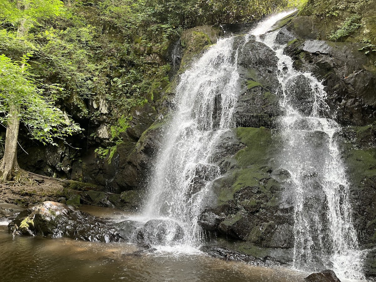 Great Smoky Mountains NP
Spruce Flats Falls Trail
Moderate 2-mile waterfall hike
 Great Smoky Mountains NP
Forney Creek Trail
Long trail from Jonas to Forney
 Great Smoky Mountains NP
Sweat Heifer Creek Trail
Hiking trail connecting Kephart Prong to Appala...
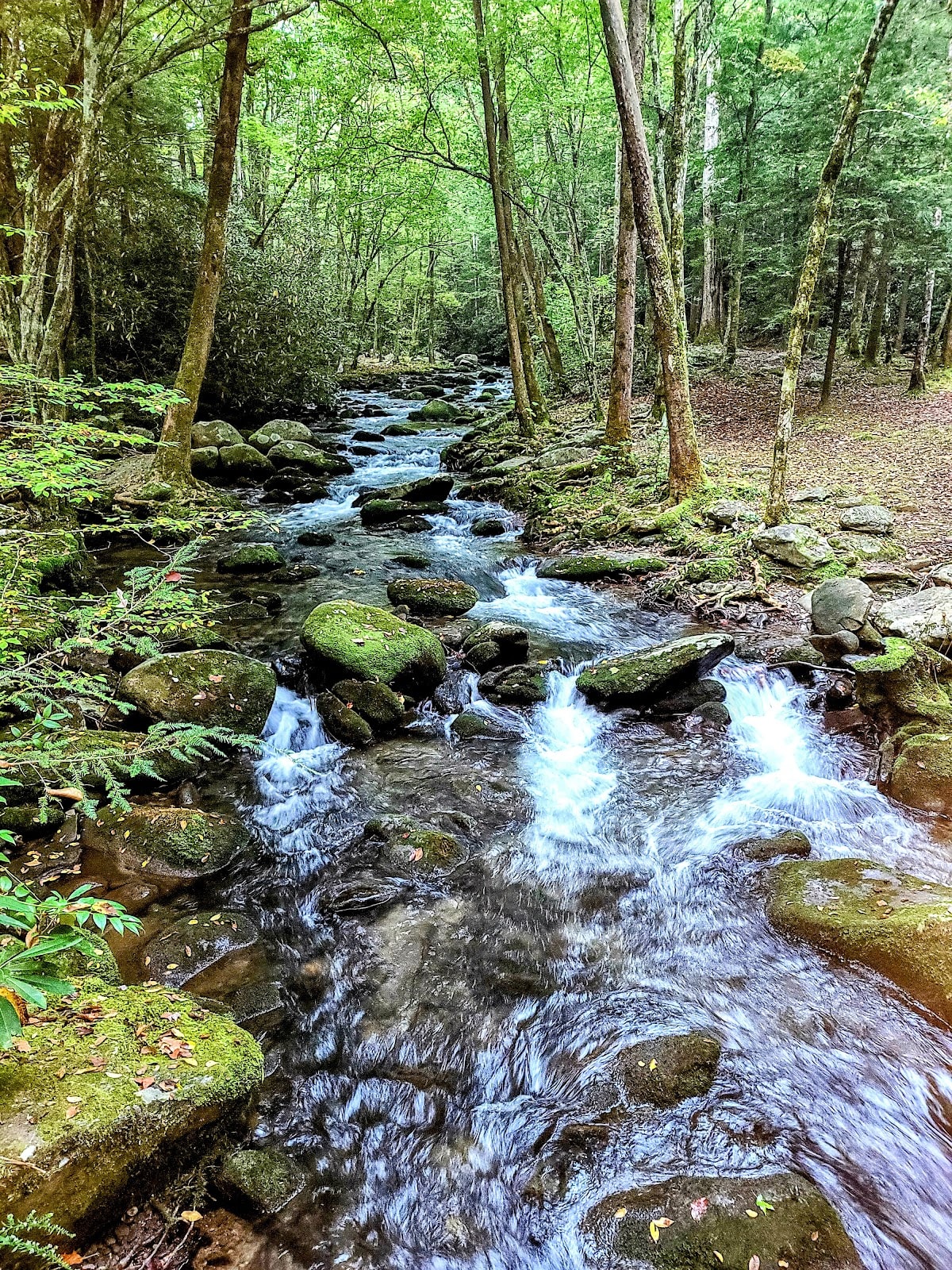 Great Smoky Mountains NP
West Prong Trail
Trail from Tremont to Bote Mountain
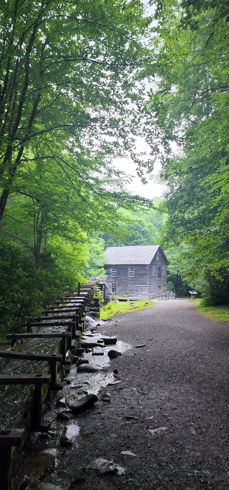 Great Smoky Mountains NP
Mingus Creek Trail
From Mingus Mill to Newton Bald
 Townsend
Anthony Creek Trail
Scenic creekside trail
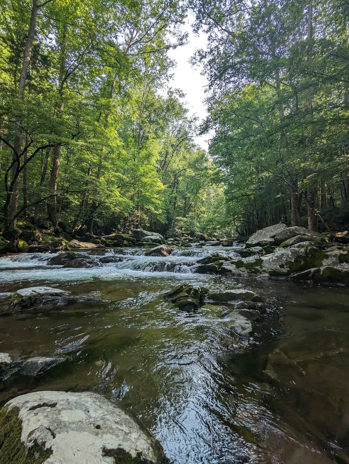 Great Smoky Mountains NP
Baxter Creek Trail
Steep climb to Mount Sterling
 Great Smoky Mountains NP
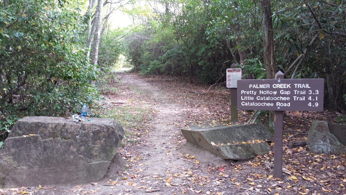
Palmer Creek Trail
From Pretty Hollow Gap to Cataloochee
 Great Smoky Mountains NP
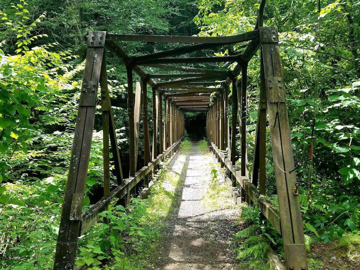
Jakes Creek Trail
Elkmont to Panther Creek
 Great Smoky Mountains NP
Enloe Creek Trail
Connects Hyatt Ridge to Chasteen
What to Know
Best Seasons
Wonderful year round and especially welcome in summer, when the water keeps these trails cooler than any other. Spring brings the highest, loudest flow. Fall lines the banks with color. Crossings can run high after heavy rain.
What to Bring
Shoes with good grip for damp rock and roots, a layer since it stays cool by the water, and a dry bag for your phone. In summer pack a towel and water shoes if you plan to wade or find a swimming hole.
Finding Your Streamside Walk
For an Easy Water Walk
The Little River and Oconaluftee routes follow big, beautiful water on gentle grades. They are perfect for a relaxed outing where the sound of the river matters more than the miles.
For Cascades and Pools
Trails like Middle Prong and Lynn Camp Prong pass a string of cascades and clear pools. They reward you with new water features around almost every bend, which keeps children moving.
For Solitude by the Water
The longer creek trails such as Bradley Fork and Kephart Prong thin out the crowds the deeper you go. They are the choice when you want the river mostly to yourself.
Tips and Getting There
Insider Tips
- On hot summer days these are the coolest trails in the park, shaded and breezy beside the moving water.
- Look for small cascades and pools around the bends. Many streamside trails hide a swimming hole that is not marked on any map.
- Wet rock is slick, especially the green mossy stones near the water. Step on dry rock and use roots for balance on the steeper banks.
Getting There and Parking
These trailheads cluster near Elkmont, Tremont above Townsend, Greenbrier, and the Smokemont area near Cherokee. A parking tag is required for stops over fifteen minutes. The Tremont and Elkmont lots are popular, so arrive early.
Frequently Asked Questions
What makes these trails special?
Are they easy?
Can we swim?
Are the water crossings dangerous?
Do I need a parking pass?
When is the water highest?
Vantage Stays · Smoky Mountain Guide
Streamside Trails & Swimming Holes
Streamside trails and swimming holes in the Smoky Mountains. Creek-side hikes, wading spots, and refreshing dips in the National Park.
Scan for live
hours & details
What to Know
Best Seasons
Wonderful year round and especially welcome in summer, when the water keeps these trails cooler than any other. Spring brings the highest, loudest flow. Fall lines the banks with color. Crossings can run high after heavy rain.
What to Bring
Shoes with good grip for damp rock and roots, a layer since it stays cool by the water, and a dry bag for your phone. In summer pack a towel and water shoes if you plan to wade or find a swimming hole.
The Checklist
| Place | Rating | Hours | Phone | Address | |
|---|---|---|---|---|---|
| Great Smoky Mountains NP | |||||
| Spruce Flats Falls Trail | 4.7 ★ | Sunrise to Sunset | Tremont, Great Smoky Mountains NP | ||
| Forney Creek Trail | 4.528654228884064 ★ | Sunrise to sunset | Great Smoky Mountains National Park | ||
| Sweat Heifer Creek Trail | 4.777736005504437 ★ | Sunrise to sunset | Great Smoky Mountains National Park | ||
| West Prong Trail | 4.856791243495768 ★ | Sunrise to sunset | Great Smoky Mountains National Park | ||
| Mingus Creek Trail | 4.778969423508011 ★ | Sunrise to sunset | Great Smoky Mountains National Park | ||
| Baxter Creek Trail | 4.814596649498699 ★ | Sunrise to sunset | Great Smoky Mountains National Park | ||
| Palmer Creek Trail | 4.546617845000742 ★ | Sunrise to sunset | Great Smoky Mountains National Park | ||
| Jakes Creek Trail | 4.804496809673502 ★ | Sunrise to sunset | Great Smoky Mountains National Park | ||
| Enloe Creek Trail | 4.715306557081254 ★ | Sunrise to sunset | Great Smoky Mountains National Park | ||
| Townsend | |||||
| Anthony Creek Trail | 4.699884376511065 ★ | Sunrise to sunset | Great Smoky Mountains National Park | ||
Picking the Right One for Your Group
For an Easy Water Walk
The Little River and Oconaluftee routes follow big, beautiful water on gentle grades. They are perfect for a relaxed outing where the sound of the river matters more than the miles.
For Cascades and Pools
Trails like Middle Prong and Lynn Camp Prong pass a string of cascades and clear pools. They reward you with new water features around almost every bend, which keeps children moving.
For Solitude by the Water
The longer creek trails such as Bradley Fork and Kephart Prong thin out the crowds the deeper you go. They are the choice when you want the river mostly to yourself.
Insider Tips
- On hot summer days these are the coolest trails in the park, shaded and breezy beside the moving water.
- Look for small cascades and pools around the bends. Many streamside trails hide a swimming hole that is not marked on any map.
- Wet rock is slick, especially the green mossy stones near the water. Step on dry rock and use roots for balance on the steeper banks.