About
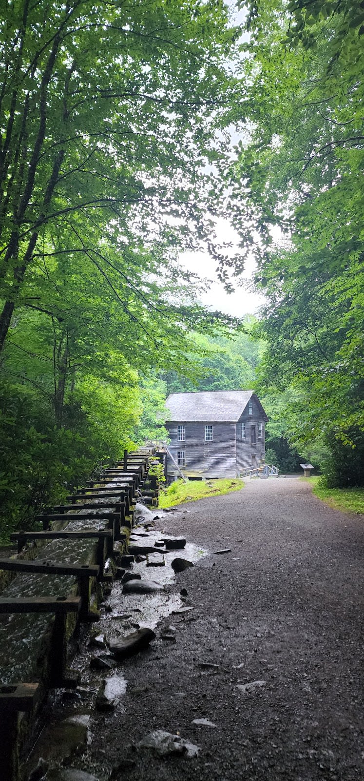
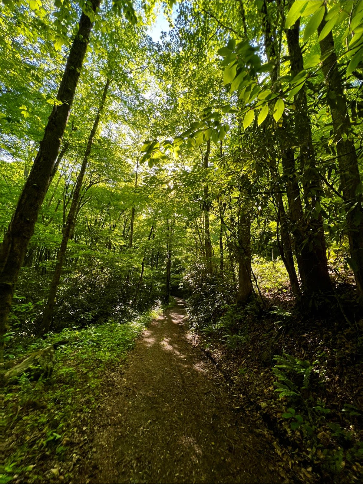
Mingus Creek Trail begins as a broad, easy old road bed but quickly changes character, narrowing into a rugged path that climbs steadily for 1,515 feet over 5.8 miles roundtrip. This out-and-back hike in the Great Smoky Mountains National Park challenges hikers with rocky terrain and steep switchbacks, especially beyond the initial stretch. Its distinctiveness lies in the way it follows Mingus Creek and Madcap Branch, winding through dense tunnels of rhododendron and new-growth forest that offer mostly shaded passage. The trail ends at Deeplow Gap, a dry ridge where the forest opens slightly but water sources disappear.
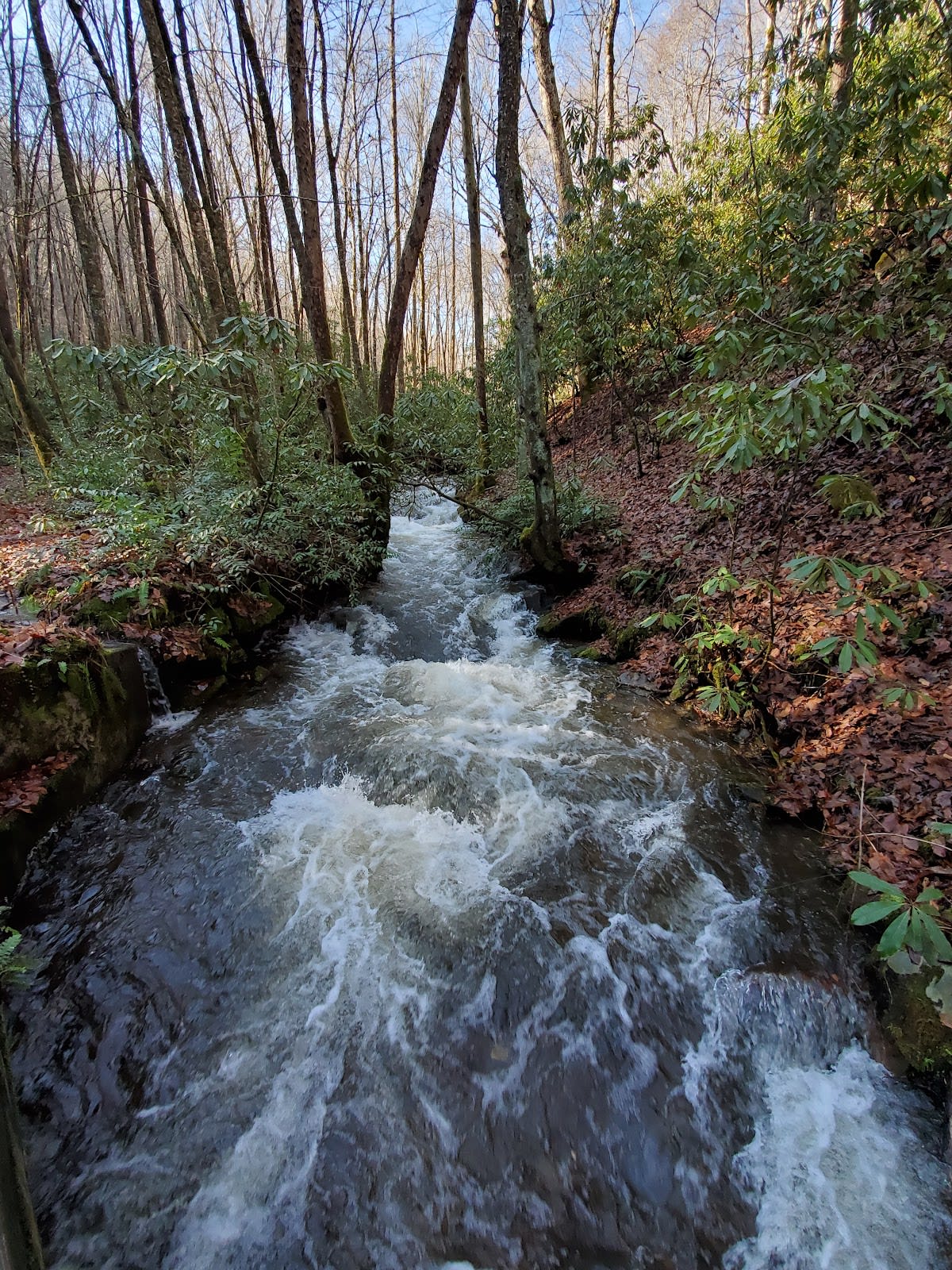
As you move along, the trail reveals a varied landscape. Early on, several footbridges cross the creek, easing passage before you encounter six creek crossings that require careful rock hopping. The sound of running water accompanies much of the hike, creating a peaceful soundtrack under the canopy. Along the way, moss-covered rocks and thick ferns line the banks, while occasional glimpses of the creek's clear pools provide spots to rest. The trail's narrow sections and rocky footing demand attention, but the dense greenery and occasional wildflowers in spring create a calming, immersive experience. Near the end, the forest thins, offering subtle views through bare branches in winter or filtered light in summer.
Spring brings wildflowers like trillium and bluebells, but the creek crossings get tricky after heavy rain, so timing matters. Summer offers cooler shade, though humidity and bugs increase, while fall provides pleasant temperatures and hints of color before the leaves fall away. Winter is quiet, with better visibility through the trees but icy rocks to watch out for. The trailhead at Mingus Mill has restrooms and parking, but spaces fill quickly on spring weekends. A Park It Forward parking tag is required, and cell service is spotty, so download maps in advance. Regular visitors note that the nearby Mingus Creek Cemetery Trail offers a quiet detour worth exploring before or after the main hike.

Plan Your Visit
Parking & Permits
Parking: Parking available at the Mingus Mill lot, which can fill up during peak season.
Permits: Park entry is free, but a Park It Forward parking tag is required for stays over 15 minutes. $5 daily, $15 weekly, $40 annual. Buy at https://smokiespermits.nps.gov.
What to Bring
Cell signal: Spotty to none. signal is unreliable in the valley. Download the AllTrails map offline before you go.
Season-specific:
- Spring: excellent for wildflowers like trillium and bluebells, but creek crossings can be tricky after heavy rain.
- Summer: shaded and pleasant, but expect humidity and bugs.
Common Questions
How long is it? 5.8 miles roundtrip
Are dogs allowed? Pets are not allowed on hiking trails in Great Smoky Mountains National Park. The only exceptions are the Gatlinburg Trail and Oconaluftee River Trail.
When to go? Spring weekends for wildflowers and summer mornings. Sweet spot: early mornings on weekdays.
Restrooms & Logistics
Restrooms: restrooms located near the Mingus Mill parking area
ADA access: rocky terrain, narrow sections, and unbridged creek crossings
Water crossings: Several footbridges early on, followed by six creek crossings without bridges that require rock hopping.
Photos
The Hike
Trail Condition
Starts as an old road bed, then narrows and becomes increasingly rocky with some steep switchbacks.
Shade
Mostly shaded through new-growth forest and rhododendron tunnels.
Water on Trail
Yes. follows Mingus Creek and Madcap Branch for much of the hike.
Water at Destination
ends at Deeplow Gap, a dry ridge
Water Crossings
Several footbridges early on, followed by six creek crossings without bridges that require rock hopping.
Picnic Spots
No designated picnic areas, but rocks near the creek crossings offer spots to sit.
Side Trails
Junction with a short trail to Mingus Creek Cemetery; connects to Deeplow Gap Trail at the end.
Parking
Parking available at the Mingus Mill lot, which can fill up during peak season.
Season Notes
Spring
excellent for wildflowers like trillium and bluebells, but creek crossings can be tricky after heavy rain.
Summer
shaded and pleasant, but expect humidity and bugs.
Fall
good for fall foliage, though views are limited until the leaves drop.
Winter
quiet, with better views through the bare trees, but watch for ice on the rocks at creek crossings.
Intersecting Trails
- Mingus Creek Cemetery TrailMingus Creek Cemetery
- Deeplow Gap Trailat mile 5.8Deeplow Gap


