36 Places
Moderate Hikes
Ready for more than a stroll but not quite a summit push? These moderate hikes deliver waterfalls, ridgeline views, and old-growth forests.
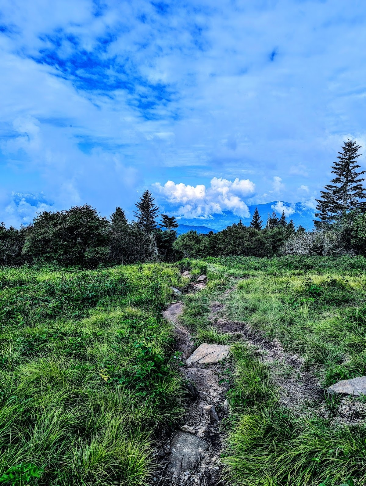 Great Smoky Mountains NP
Andrews Bald Trail
Scenic 3.6-mile high-elevation hike
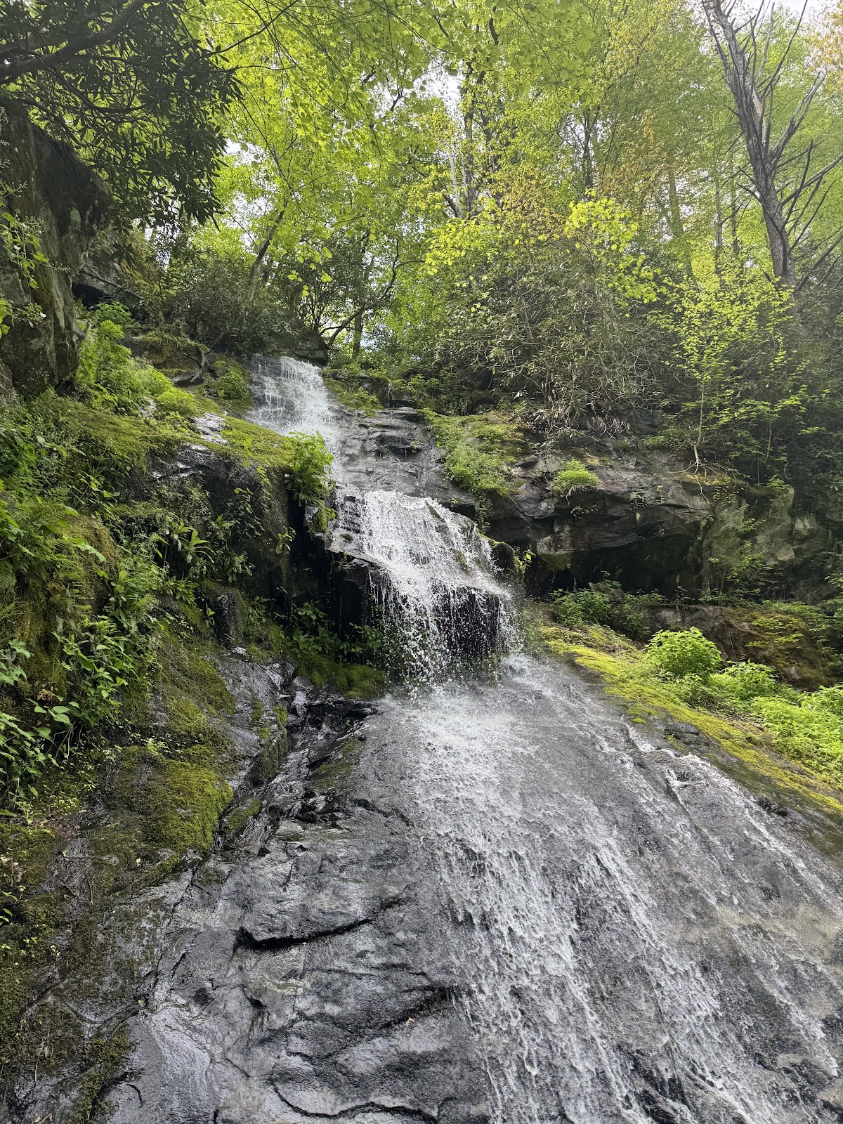 Great Smoky Mountains NP
Hen Wallow Falls Trail
Moderate 4.4-mile to 90-ft waterfall
 Great Smoky Mountains NP
Porters Creek Trail
Old-growth forest with historic features
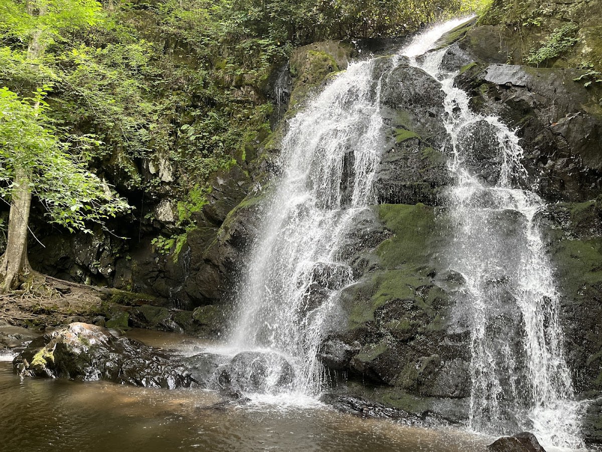 Great Smoky Mountains NP
Spruce Flats Falls Trail
Moderate 2-mile waterfall hike
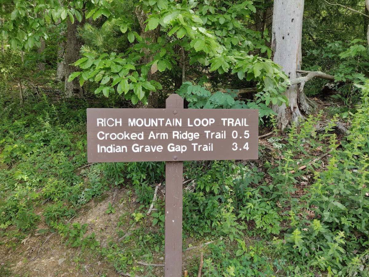 Great Smoky Mountains NP
Rich Mountain Loop Trail
8.5-mile panoramic mountain loop
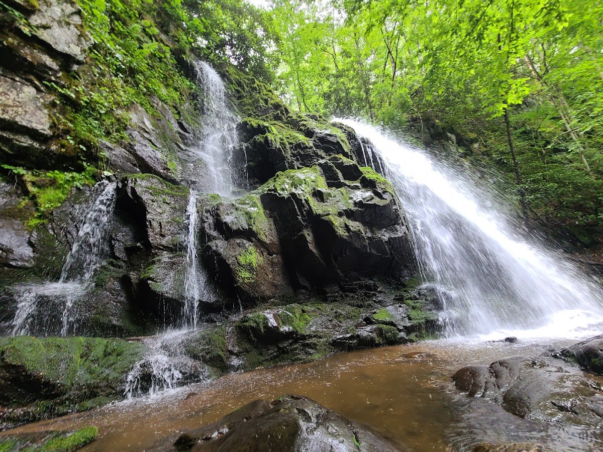 Great Smoky Mountains NP
Lumber Ridge Trail
Connects Meigs Creek & Mountain
 Great Smoky Mountains NP
Kanati Fork Trail
Trail from Gap to Divide
 Great Smoky Mountains NP
Crib Gap Trail
Trail from Anthony Creek to Turkeypen
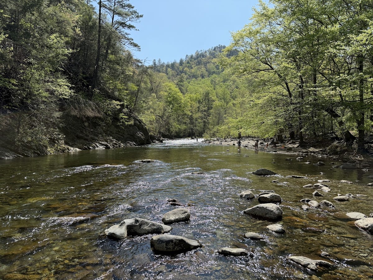 Great Smoky Mountains NP
Chestnut Top Trail
Moderate 5.6-mile ridge trail
 Great Smoky Mountains NP
Forney Creek Trail
Long trail from Jonas to Forney
 Great Smoky Mountains NP
Greenbrier Ridge Trail
Connects Middle Prong to AT
 Great Smoky Mountains NP
Sweat Heifer Creek Trail
Hiking trail connecting Kephart Prong to Appala...
 Great Smoky Mountains NP
Cooper Road Trail
Historic road to Hatcher Mountain
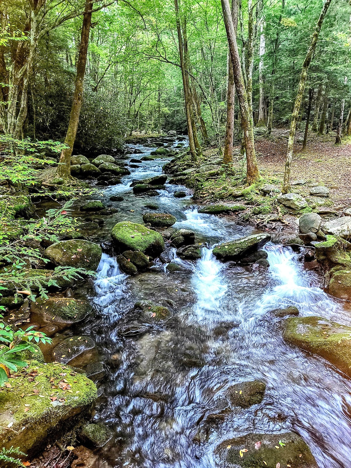 Great Smoky Mountains NP
West Prong Trail
Trail from Tremont to Bote Mountain
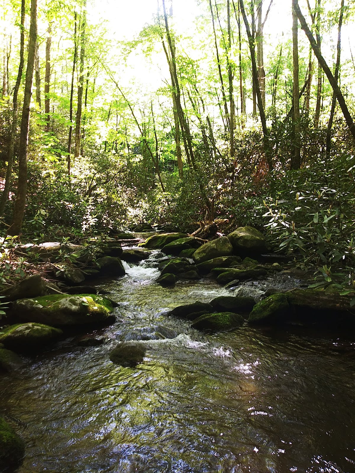 Great Smoky Mountains NP
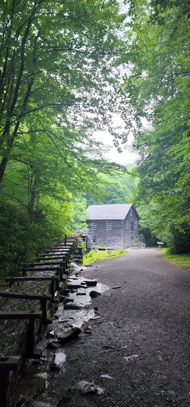
Meigs Creek Trail
Moderate 7-mile trail with stream crossings
 Great Smoky Mountains NP
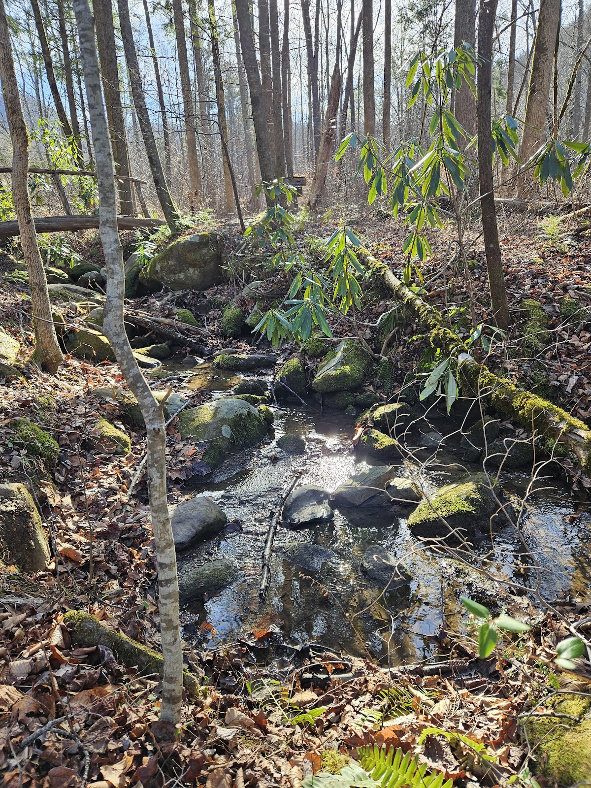
Mingus Creek Trail
From Mingus Mill to Newton Bald
 Great Smoky Mountains NP
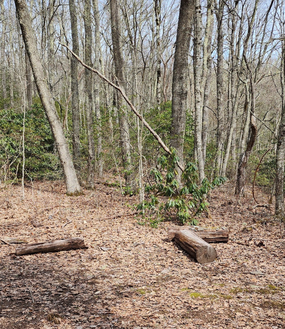
Grassy Branch Trail
Trail connecting to Dry Sluice
 North Carolina
Cataloochee Divide Trail
Ridge trail with scenic views
 Great Smoky Mountains NP
Forney Ridge Trail
Trail to Clingmans Dome area
 Great Smoky Mountains NP
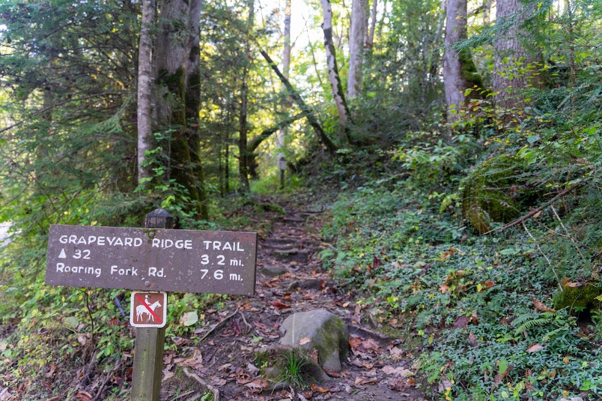
Grapeyard Ridge Trail
Long trail from Roaring Fork
 Townsend
Anthony Creek Trail
Scenic creekside trail
 Great Smoky Mountains NP
Beech Gap Trail
Trail linking Benton MacKaye & Hyatt
 Great Smoky Mountains NP
Hughes Ridge Trail
Ridge connecting Bradley to Enloe
 Great Smoky Mountains NP
Turkeypen Ridge Trail
Connects Schoolhouse Gap to Finley Cane
 Great Smoky Mountains NP
Hemphill Bald Trail
Ridge trail to Cataloochee
 Great Smoky Mountains NP
Boogerman Trail
Loop through ancient giant trees
 Great Smoky Mountains NP
Crooked Arm Ridge Trail
Trail between Scott and Rich Mtn
 Great Smoky Mountains NP
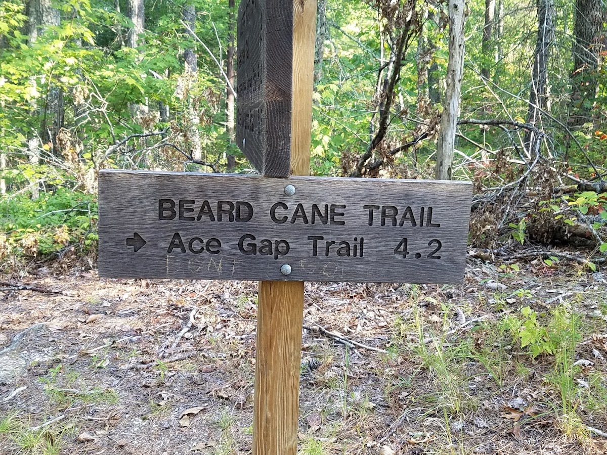
Beard Cane Trail
Trail connecting Cooper to Hatcher
 Great Smoky Mountains NP
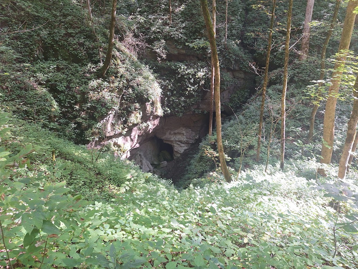
Ace Gap Trail
Scenic forest trail in park
 Great Smoky Mountains NP
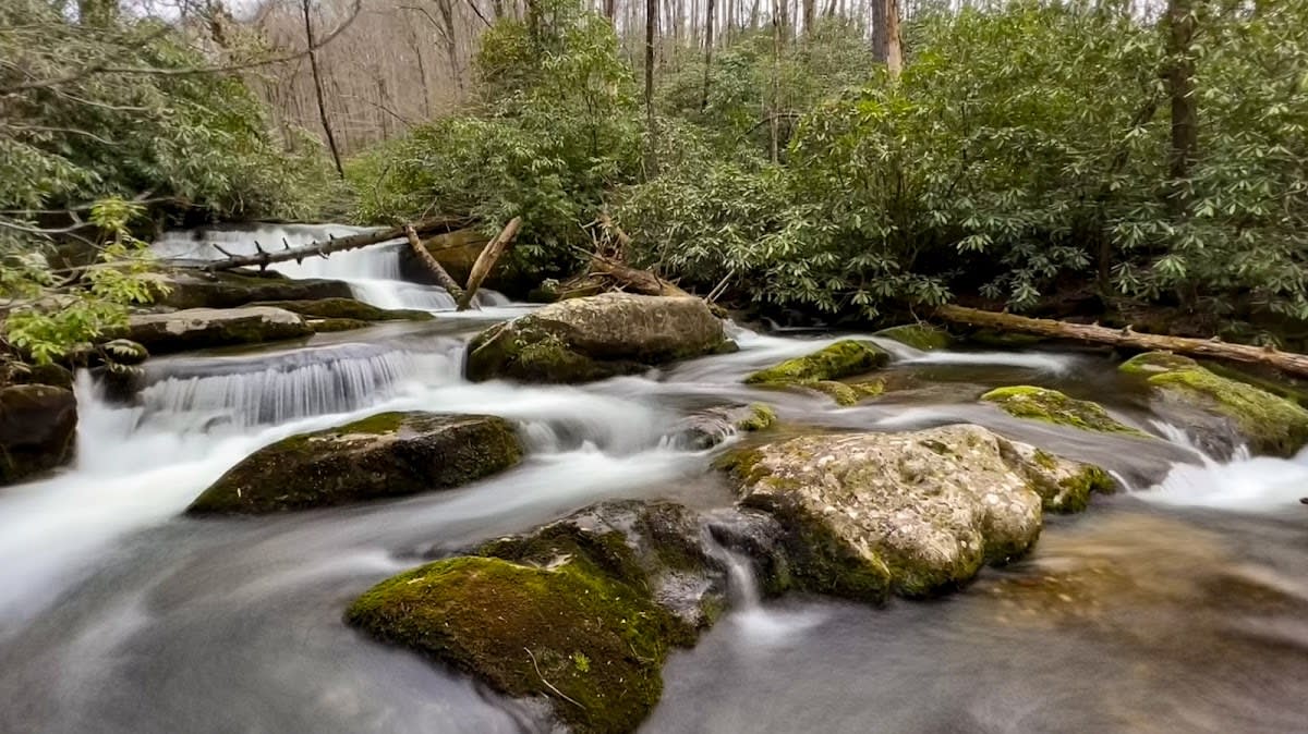
Twentymile Trail
Trail from Twentymile Station to Appalachian Trail
 Great Smoky Mountains NP
Twentymile Loop Trail
Loop combining Twentymile and Wolf Ridge trails
 Great Smoky Mountains NP
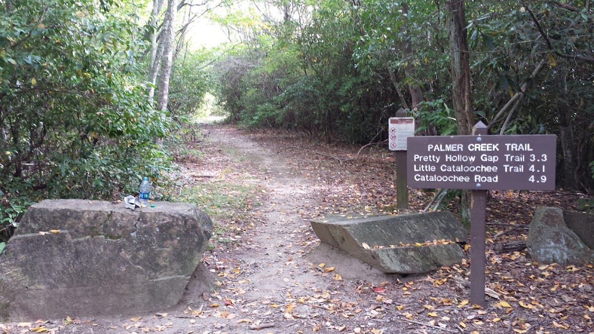
Palmer Creek Trail
From Pretty Hollow Gap to Cataloochee
 Great Smoky Mountains NP
Rough Fork Trail
Cataloochee to Big Fork Ridge
 Great Smoky Mountains NP
Jakes Creek Trail
Elkmont to Panther Creek
 Great Smoky Mountains NP
Newton Bald Trail
Connects to Thomas Divide
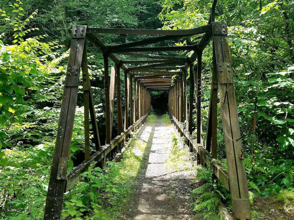 Great Smoky Mountains NP
Enloe Creek Trail
Connects Hyatt Ridge to Chasteen
What to Know
Best Seasons
Best from spring through fall. Spring brings high water and wildflowers, summer stays shaded and cool at elevation, and fall is the peak for color. Higher trails can hold ice into early spring, so check conditions in the cold months.
What to Bring
Broken in hiking shoes, layers, at least two liters of water per person, and a snack. Trekking poles help on the longer descents. Download the trail map, since there is no cell service once you are in the park.
Choosing the Right Moderate Hike
For a Waterfall Reward
Laurel Falls, Abrams Falls, and the Grotto Falls route all end at moving water. They are the most rewarding moderate hikes for first timers because the destination is unmistakable and worth the climb.
For History and Quiet
The Elkmont and Cades Cove area loops pass old homesites, stone chimneys, and quiet hardwood forest. They trade a single big view for a steady sense of the people who lived here.
For Building Toward Bigger Hikes
If you are working up to the strenuous summit trails, these moderate routes are the right training ground. They teach you how your group handles sustained climbing before you commit to a hard day.
Tips and Getting There
Insider Tips
- Laurel Falls and Abrams Falls are the crowd favorites for good reason, but their lots fill early. Arrive before nine or save them for a weekday.
- On loop trails like Cucumber Gap and Rich Mountain, walk the loop clockwise so the steeper section is your climb and the gentler grade is your descent.
- Carry more water than feels necessary. The climbs work up a sweat even in cool weather, and there is no safe water to refill from on most of these routes.
Getting There and Parking
These trailheads are spread across the park, with clusters near Elkmont, Cades Cove, and the Gatlinburg entrance. A parking tag is required for stops over fifteen minutes. The popular lots fill by midmorning, so go early or have a second trail in mind.
Frequently Asked Questions
What makes a hike moderate here?
Which moderate hike is best for a first timer?
How long should I budget?
Do I need a parking pass?
Are these hikes safe in summer heat?
Can children do these trails?
Vantage Stays · Smoky Mountain Guide
Moderate Hikes
Moderate hikes in the Smoky Mountains. Mid-range trails with waterfalls, views, and achievable challenges in the National Park.
Scan for live
hours & details
What to Know
Best Seasons
Best from spring through fall. Spring brings high water and wildflowers, summer stays shaded and cool at elevation, and fall is the peak for color. Higher trails can hold ice into early spring, so check conditions in the cold months.
What to Bring
Broken in hiking shoes, layers, at least two liters of water per person, and a snack. Trekking poles help on the longer descents. Download the trail map, since there is no cell service once you are in the park.
The Checklist
| Place | Rating | Hours | Phone | Address | |
|---|---|---|---|---|---|
| Great Smoky Mountains NP | |||||
| Andrews Bald Trail | 4.7 ★ | Sunrise to Sunset | Forney Ridge Trail from Kuwohi, Great Smoky Mountains NP | ||
| Hen Wallow Falls Trail | 4.6 ★ | Sunrise to Sunset | Cosby Area, Great Smoky Mountains NP | ||
| Porters Creek Trail | 4.7 ★ | Sunrise to Sunset | Greenbrier Area, Great Smoky Mountains NP | ||
| Spruce Flats Falls Trail | 4.7 ★ | Sunrise to Sunset | Tremont, Great Smoky Mountains NP | ||
| Rich Mountain Loop Trail | 4.6 ★ | Sunrise to Sunset | Cades Cove, Great Smoky Mountains NP | ||
| Lumber Ridge Trail | 4.595591083974204 ★ | Sunrise to sunset | Great Smoky Mountains National Park | ||
| Kanati Fork Trail | 4.6287096586158745 ★ | Sunrise to sunset | Great Smoky Mountains National Park | ||
| Crib Gap Trail | 4.565400326305724 ★ | Sunrise to sunset | Great Smoky Mountains National Park | ||
| Chestnut Top Trail | 4.4 ★ | Sunrise to Sunset | Townsend Area, Great Smoky Mountains NP | ||
| Forney Creek Trail | 4.528654228884064 ★ | Sunrise to sunset | Great Smoky Mountains National Park | ||
| Greenbrier Ridge Trail | 4.850510953901802 ★ | Sunrise to sunset | Great Smoky Mountains National Park | ||
| Sweat Heifer Creek Trail | 4.777736005504437 ★ | Sunrise to sunset | Great Smoky Mountains National Park | ||
| Cooper Road Trail | 4.672013446104068 ★ | Sunrise to sunset | Great Smoky Mountains National Park | ||
| West Prong Trail | 4.856791243495768 ★ | Sunrise to sunset | Great Smoky Mountains National Park | ||
| Meigs Creek Trail | 4.3 ★ | Sunrise to Sunset | Little River Road, Great Smoky Mountains NP | ||
| Mingus Creek Trail | 4.778969423508011 ★ | Sunrise to sunset | Great Smoky Mountains National Park | ||
| Grassy Branch Trail | 4.631630894104788 ★ | Sunrise to sunset | Great Smoky Mountains National Park | ||
| Forney Ridge Trail | 4.794005434316037 ★ | Sunrise to sunset | Great Smoky Mountains National Park | ||
| Grapeyard Ridge Trail | 4.66356341397183 ★ | Sunrise to sunset | Great Smoky Mountains National Park | ||
| Beech Gap Trail | 4.580487140555509 ★ | Sunrise to sunset | Great Smoky Mountains National Park | ||
| Hughes Ridge Trail | 4.515252711928765 ★ | Sunrise to sunset | Great Smoky Mountains National Park | ||
| Turkeypen Ridge Trail | 4.761719591596828 ★ | Sunrise to sunset | Great Smoky Mountains National Park | ||
| Hemphill Bald Trail | 4.730755762178495 ★ | Sunrise to sunset | Great Smoky Mountains National Park | ||
| Boogerman Trail | 4.536534542804058 ★ | Sunrise to sunset | Great Smoky Mountains National Park | ||
| Crooked Arm Ridge Trail | 4.771015333154474 ★ | Sunrise to sunset | Great Smoky Mountains National Park | ||
| Beard Cane Trail | 4.6043445309181426 ★ | Sunrise to sunset | Great Smoky Mountains National Park | ||
| Ace Gap Trail | 4.813126766741135 ★ | Sunrise to sunset | Great Smoky Mountains National Park | ||
| Twentymile Trail | 4.693237184794727 ★ | Sunrise to sunset | Great Smoky Mountains National Park | ||
| Twentymile Loop Trail | 4.752573261801525 ★ | Sunrise to sunset | Great Smoky Mountains National Park | ||
| Palmer Creek Trail | 4.546617845000742 ★ | Sunrise to sunset | Great Smoky Mountains National Park | ||
| Rough Fork Trail | 4.8532218434539205 ★ | Sunrise to sunset | Great Smoky Mountains National Park | ||
| Jakes Creek Trail | 4.804496809673502 ★ | Sunrise to sunset | Great Smoky Mountains National Park | ||
| Newton Bald Trail | 4.668725256926835 ★ | Sunrise to sunset | Great Smoky Mountains National Park | ||
| Enloe Creek Trail | 4.715306557081254 ★ | Sunrise to sunset | Great Smoky Mountains National Park | ||
| North Carolina | |||||
| Cataloochee Divide Trail | 4.577512310041989 ★ | Sunrise to sunset | Great Smoky Mountains National Park | ||
| Townsend | |||||
| Anthony Creek Trail | 4.699884376511065 ★ | Sunrise to sunset | Great Smoky Mountains National Park | ||
Picking the Right One for Your Group
For a Waterfall Reward
Laurel Falls, Abrams Falls, and the Grotto Falls route all end at moving water. They are the most rewarding moderate hikes for first timers because the destination is unmistakable and worth the climb.
For History and Quiet
The Elkmont and Cades Cove area loops pass old homesites, stone chimneys, and quiet hardwood forest. They trade a single big view for a steady sense of the people who lived here.
For Building Toward Bigger Hikes
If you are working up to the strenuous summit trails, these moderate routes are the right training ground. They teach you how your group handles sustained climbing before you commit to a hard day.
Insider Tips
- Laurel Falls and Abrams Falls are the crowd favorites for good reason, but their lots fill early. Arrive before nine or save them for a weekday.
- On loop trails like Cucumber Gap and Rich Mountain, walk the loop clockwise so the steeper section is your climb and the gentler grade is your descent.
- Carry more water than feels necessary. The climbs work up a sweat even in cool weather, and there is no safe water to refill from on most of these routes.